Blog Article
Flood Risk Grows in Ohio Valley, Atlantic Wave Watched
A moderate flash flood risk hits the Plains and Ohio Valley after Indiana's flooding disaster, while an Atlantic tropical wave carries an 80% development chance.

Flood Threat Lingers Over the Plains and Ohio Valley While the Atlantic Wakes Up
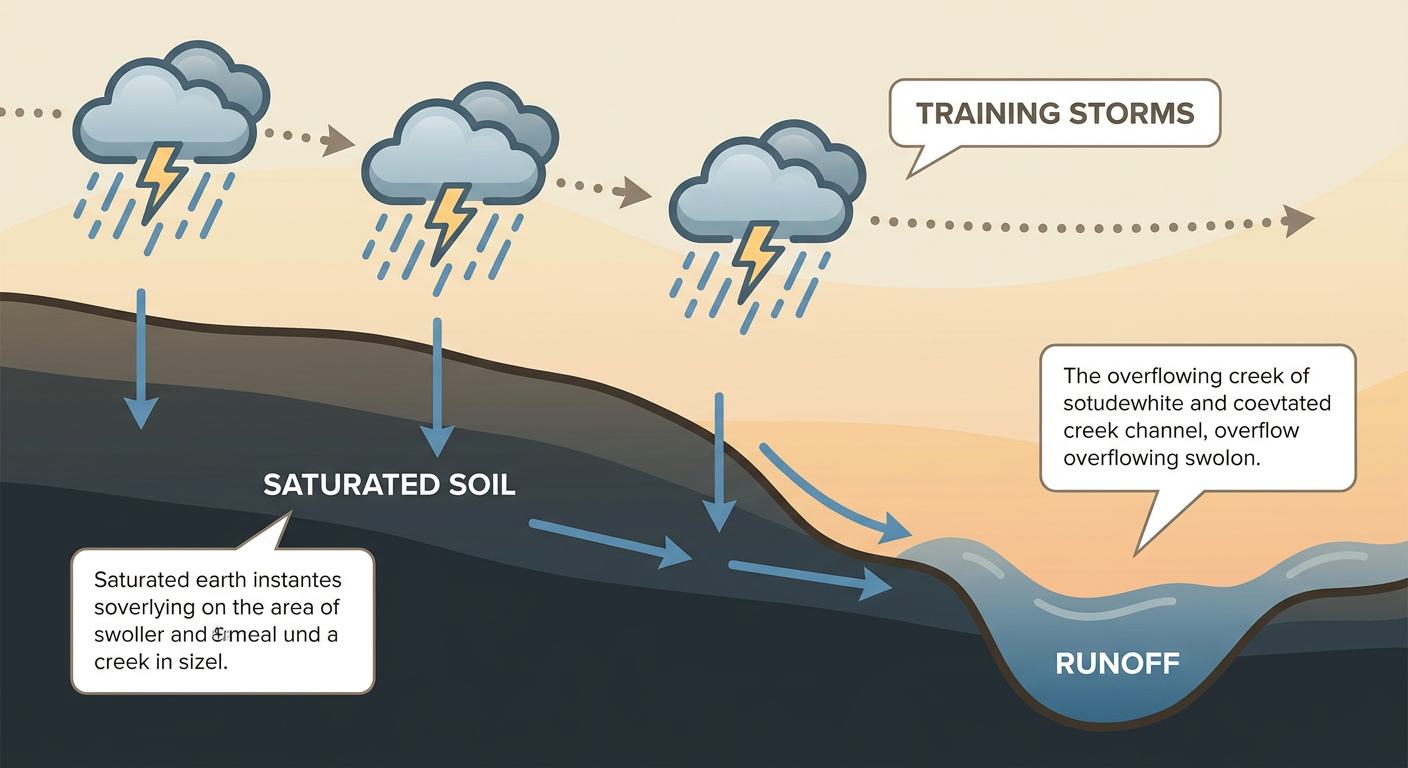
Alright y'all, let's start with the story that matters most this morning: water. Yesterday was rough for central Indiana. Madison, Henry, Fayette, and Wayne counties got hammered with training storms that dumped close to 14 inches of rain near Muncie, closed I-70 near Centerville, and forced water rescues. Multiple Flash Flood Emergencies went out. That ground is not done draining, and the atmosphere isn't done either.
Ground Already Saturated, More Rain On the Way
WPC has a Moderate risk of excessive rainfall posted for today across parts of the Plains into the Ohio and Tennessee Valleys, with a broader Slight risk stretching wider than that. Here's the thing about a Moderate risk: it's not the top tier WPC hands out, but it means forecasters expect a real, organized threat for flash flooding, not just an isolated puddle here and there.
The discussion notes the hardest-hit spot from yesterday has actually shifted a touch south, but the setup for more downpours across the southern Ohio Valley hasn't gone anywhere. If you're in Iowa, central Indiana, or the Cincinnati/southern Ohio corridor, you're dealing with ground that's already full. It doesn't take much more to send that water somewhere it doesn't belong.
Severe Storms Targeting Iowa Into Illinois Today
On top of the flood risk, SPC has a Slight Risk for severe thunderstorms today from Des Moines and Cedar Rapids down through Davenport, Peoria, and Springfield, Illinois. That's smack in the middle of Iowa State Fair and Illinois State Fair territory, so if you've got fairground plans this afternoon or evening, keep half an eye on the sky.
Damaging wind is the main threat, with SPC putting a 15% chance of scattered severe gusts over that zone. Hail is possible too, and there's a small 2% tornado chance if a storm manages to get rotating. An MCV (that's a mesoscale convective vortex, basically a leftover spin from an earlier storm cluster) was already stirring the pot over central Nebraska early this morning, and that's the seed for today's activity as it drifts east.
Oklahoma's Turn: Heat, Fire Danger, and a Dryline
While the Midwest deals with water, central and western Oklahoma are dealing with the opposite problem. Local forecasters are flagging a HeatRisk of 105 to 115°F today, which is well above the normal August high of 93°F for both Oklahoma City and Tulsa. Pair that with south winds of 15 to 20 mph and relative humidity in the lower teens, and you've got elevated fire weather on top of the heat.
Late in the day, high-based storms along the dryline could bring downburst-driven wind gusts. It's not a widespread severe setup, but it's the kind of day where heat exhaustion, fire danger, and a rogue thunderstorm gust all show up on the same forecast.
The Atlantic Is Stirring
Tropical Depression Cristobal is basically done. It's out over the open Atlantic west of the Azores, winds down to 35 mph, and NHC expects it to dissipate today. No US impact, never was one.
The system worth watching is a tropical wave NHC is calling AL92, sitting midway between the Lesser Antilles and the coast of Africa. NHC's outlook gives it an 80% chance of development in both the next two days and the next seven, which is a HIGH designation on their scale. It's still just a wave with better organization than yesterday, so there's no track or intensity to talk about yet, but this is the kind of system you start paying attention to now rather than later. A second area farther west has a lower, 30 to 50% chance over the same window. Neither one is an immediate US threat, but with three more invests floating around the Atlantic and eastern Pacific, this is peak season doing peak season things.
What Else We're Watching
- Moderate WPC flood risk today across the Plains into the Ohio/Tennessee Valleys, on top of ground still soaked from Tuesday's Indiana disaster
- SPC Slight Risk for damaging wind and isolated hail from Des Moines to Springfield, IL, right during state fair season
- Extreme heat (105-115°F heat index) and elevated fire weather across central/western Oklahoma, plus a dryline wind threat
- Atlantic tropical wave AL92 carries an 80% development chance over the next week, worth tracking even though it's far from land
- A weak G1 geomagnetic storm is possible Thursday night into Friday from a coronal hole stream, so far-northern latitudes could catch some aurora if skies stay clear
- Friday's severe risk broadens into a Marginal category from the Front Range through the Midwest, Ohio Valley, and into Virginia and northern North Carolina, generally less concentrated than today's setup
- The nicest weather of the week sits in the Pacific Northwest today and shifts toward the Adirondacks and Upper Midwest by Friday, while the South and Southeast stay locked under a hot, dry ridge
Bottom Line
If you're anywhere from Iowa through the Ohio Valley, especially central Indiana, southern Ohio, and the Cincinnati area, do not let your guard down on flooding today. That ground can't take much more, and a Moderate risk from WPC is not something to shrug off. Iowa and Illinois fairgoers should have a plan for pop-up severe storms this afternoon. Oklahoma folks need to take the heat seriously and watch for a stray gusty storm along the dryline. And out in the Atlantic, keep an eye on that tropical wave. It's not a threat yet, but an 80% development chance means it's the one to watch as we move into the weekend.