Blog Article
Southeast Flood Risk & Midwest Severe Storms: July 25 Forecast
Flash flood risk lingers in the Carolinas and Tennessee Valley while severe storms with damaging wind and hail target Montana, the Dakotas, and the Upper Midwest.
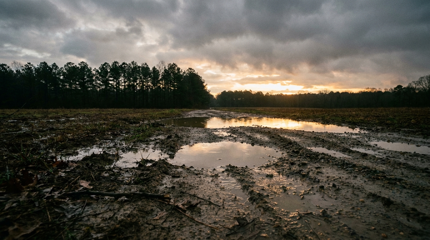
Flood-Weary Southeast Watches the Sky Again While Montana and the Dakotas Brace for More Severe Wind
Alright y'all, Saturday morning and there's a lot going on, so let's get into it.
Good news first: no named storms anywhere in the Atlantic or Gulf right now. Tropical Storm Bertha is done, dissolved into a trough over Texas after making landfall near the Texas-Louisiana border earlier this week. There is a weak invest area, 98EP, sitting way down in the Eastern Pacific off the coast of southern Mexico with just 30 knot winds. That one's too far south and too weak to matter for US impacts right now. We'll keep an eye on it, but it's not the story today.
The story today is water in the Southeast and wind out West.
Slight Risk of Excessive Rainfall: Eastern Carolinas, Arkansas, and the Southwest
Here's the thing. We just watched Georgia get hammered this week. North-central Georgia saw four to five inches of rain in under three hours Thursday, and coastal North Carolina had NC 12 closed from flooding on the Outer Banks. That same stalled frontal boundary hasn't gone anywhere, and WPC has posted a Slight Risk (at least 15 percent) of excessive rainfall today for the eastern Carolinas, portions of Arkansas, and the Southwest extending east through the Tennessee Valley.
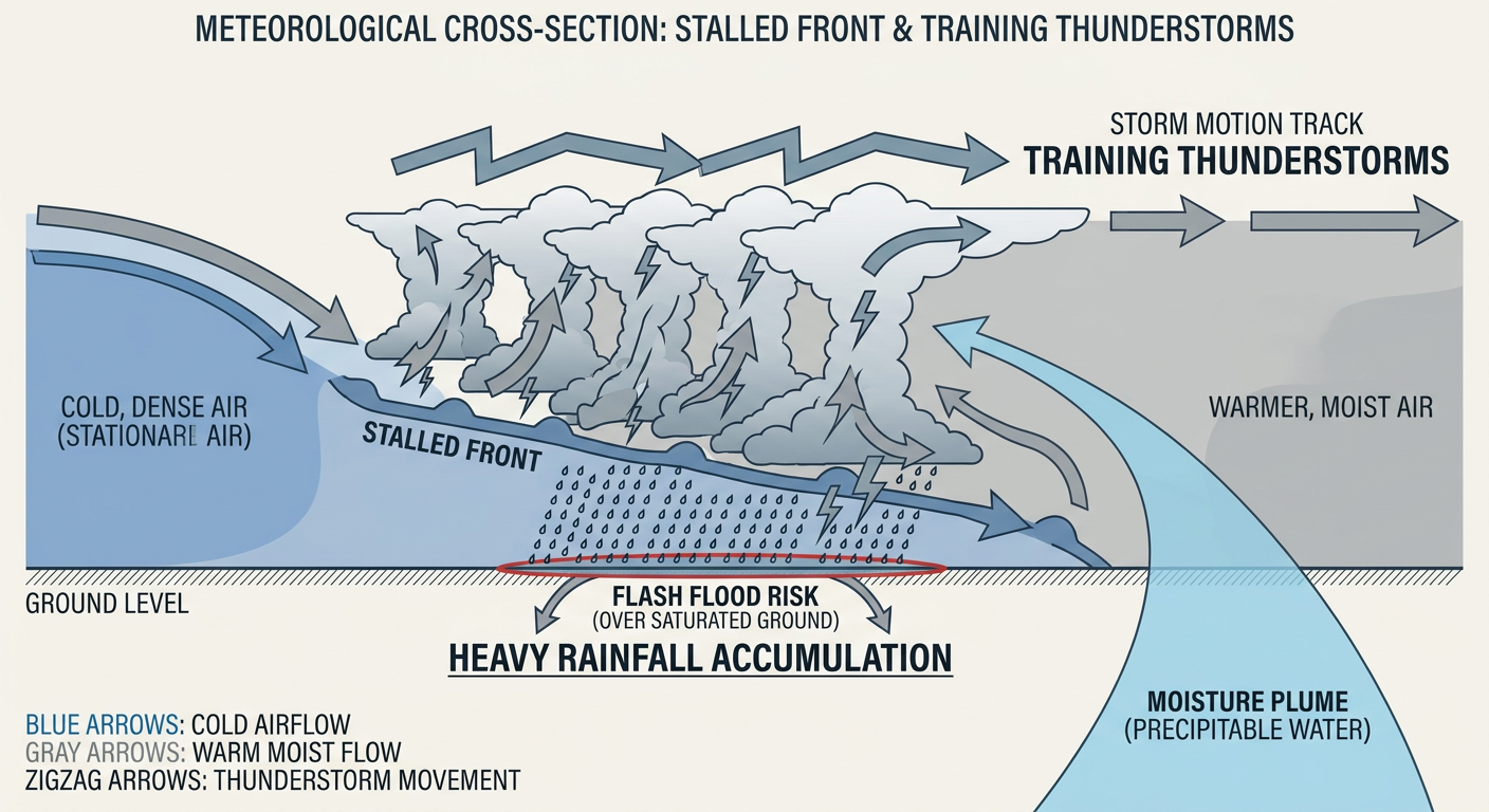
The reason is precipitable water. That's a fancy way of saying "how much rain is sitting in the atmosphere ready to fall," and WPC says values are running nearly 3 standardized anomalies above where they should be for late July, over the 95th percentile for the date. When the air holds that much moisture and a boundary just sits there, you get repeat rounds of heavy rain hitting the same spots. That's exactly the training-thunderstorm pattern that flooded Hall County and Gainesville, Georgia earlier this week.
Raleigh, Charlotte, and the eastern Carolinas should keep an eye on radar today, especially if you're near a creek or a low-lying road that's flooded before. Normal high this time of year in Raleigh and Charlotte is about 90 degrees, and that heat and humidity combo is exactly the fuel this kind of rainfall pattern feeds on.
By Sunday, that excessive rain risk backs off to Marginal and shifts west toward the Four Corners as the monsoon flow takes over, with a secondary Marginal area popping up in Florida from a stationary front. Monday it's Marginal again in the Four Corners and now the central and eastern Great Lakes into the Ohio Valley. Nothing at Moderate or High risk levels right now, but if you live in a flood-prone spot in the Southeast, today's the day to have a plan.
Severe Weather Shifts to Montana and South Dakota Today
Remember Thursday night? North Dakota and Minnesota got worked over. Robinson, ND measured a 79 mph gust. Forbes, ND had 3 inch hail with broken windows. A tornado touched down near Middle River, Minnesota. That was a rough night for the Northern Plains.
Today, SPC has a Slight Risk posted for central Montana and into South Dakota. Billings, Great Falls, and Bozeman are inside the highest-risk zone. The setup: an expansive upper ridge sits over the Southwest and central US, and very hot temperatures are building from Montana into the Dakotas this afternoon. Storms that fire will have access to scattered severe wind gusts as the main threat, with SPC's hatched area showing gusts could reach 75 mph or higher in the strongest cells. Hail up to 2 inches is possible too. Tornado chances are low, running about 2 percent.
A broader Marginal Risk stretches from Tucson up through Minneapolis, Madison, Sioux Falls, and Green Bay, covering almost 14 million people, though storms there should stay less organized.
Sunday: The Focus Moves to the Upper Midwest
Looking at Day 2, the severe weather threat slides east into the Upper Mississippi Valley and Great Lakes. SPC has a Slight Risk covering Milwaukee, Minneapolis, Madison, Rockford, and Green Bay, more than 12 million people. The setup calls for moderate to strong instability running into 35-50 knot deep-layer shear, which can support isolated supercells capable of large to very large hail, potentially 2 inches or bigger if the cap breaks. There's also a chance of an overnight complex of storms (what meteorologists call an MCS) forming with a forward-propagating wind corridor, and SPC's hatched wind area again shows gusts could hit 75 mph or more in the worst spots.
If you're headed to the Twins-Athletics game in Minneapolis on Sunday or catching the Brewers series in Milwaukee, keep half an eye on the sky during the afternoon and evening. This is a "have a plan" day, not a "cancel your plans" day, but that could change as timing firms up.
A broader Marginal Risk on Sunday stretches all the way to Chicago, Detroit, Indianapolis, Columbus, and even Jacksonville, nearly 46 million people, though most of that area should just see garden-variety storms.
Fire Weather Stays Critical Out West
While the East deals with too much water, the interior West is stuck in the opposite problem. A Critical Fire Weather Area covers much of the Pacific Northwest into the northern Rockies today, including Reno, Spokane, Yakima, and Bend, as a belt of stronger mid-level flow pushes dry, windy conditions into the region. That shifts Sunday to northern Montana near Havre and the northern Sierra into the Harney Basin around Reno, Sparks, and Carson City. If you're in those areas, this is Red Flag territory. Any spark outdoors is a real problem right now.
Interestingly, some of the nicest weather in the country today is sitting right next to that fire risk, in southwest Oregon, where a strong surface high and dry offshoreflow are giving crisp air and sunshine. Same dry pattern, two very different outcomes depending on whether there's a spark nearby.
Heat and the Bigger Picture
Hazardous heat continues across the central and southern US, with heat indices topping 105 degrees in spots and localized readings approaching 115. That's on top of a month that's already seen a 113 degree reading in Miles City, Montana on July 12. If you're outdoors this weekend anywhere from the southern Plains into the Southeast, hydrate and take breaks.
Looking further out, SPC's Day 4 probabilistic outlook shows a 15 percent chance of severe weather Tuesday stretching from Philadelphia and Washington DC down through Charlotte and Raleigh, affecting more than 36 million people. It's early, and 15 percent isn't a slam dunk, but it's worth a glance again as the week goes on.
What We're Watching
- Flash flood potential across the eastern Carolinas, Arkansas, and Tennessee Valley today, a continuation of this week's Southeast flooding pattern
- Scattered severe wind gusts, up to 75 mph in the strongest storms, across central Montana and South Dakota today
- Large hail and an organized wind threat shifting into Milwaukee, Minneapolis, and the Upper Midwest Sunday
- Critical fire weather conditions rotating through the Pacific Northwest and northern Rockies both today and Sunday
- Dangerous heat indices, 105 to potentially 115 degrees, across the central and southern US
- A weak, disorganized invest (98EP) in the far Eastern Pacific that isn't a US threat right now
- Space weather staying quiet through midweek, though SWPC flags a chance of unsettled to G1 (Minor) storm levels around July 27 as a CME arrival is expected
Bottom Line
If you're in the eastern Carolinas, Arkansas, or the Tennessee Valley, today's the day to know your flood-prone routes, this ground is already saturated from this week's rain. If you're in Montana or South Dakota, watch for scattered severe storms with damaging wind gusts this afternoon and evening. And if your weekend plans take you through Minneapolis or Milwaukee, keep tomorrow's forecast on your radar, because that's where the hail and wind threat sets up next. Out West, fire weather stays critical, so no outdoor burning and be careful with anything that sparks.