Blog Article
Sunday Weather Forecast: Large Hail and Ozarks Flooding
A shifting weather pattern brings two-inch hail to the Northern Plains and a renewed flash flood threat to the waterlogged Ozarks this Sunday.
Flooded Grounds and Falling Ice: Shifting Gears for Sunday
Alright folks, as we talked about yesterday, that wind threat is moving through the Northeast today. If you are at the Governors Ball in Queens or the Belmont Stakes up in Saratoga Springs, keep your head on a swivel for those 60 mph gusts this afternoon.
But we have to look ahead to Sunday. The weather pattern is shifting gears, and the central United States has a couple of different hazards setting up.
The Water Problem in the Ozarks
The biggest headache right now is the water. We have a Slight Risk for excessive rainfall setting up across the Mid-Mississippi Valley and the Ozarks for Sunday into Monday.
Here is the thing. Parts of the Plains and Midwest just picked up over 9 inches of rain this past week. The rivers are swollen and the ground is completely full. Any new rain is going to run straight off the surface into the creeks and low-water crossings.
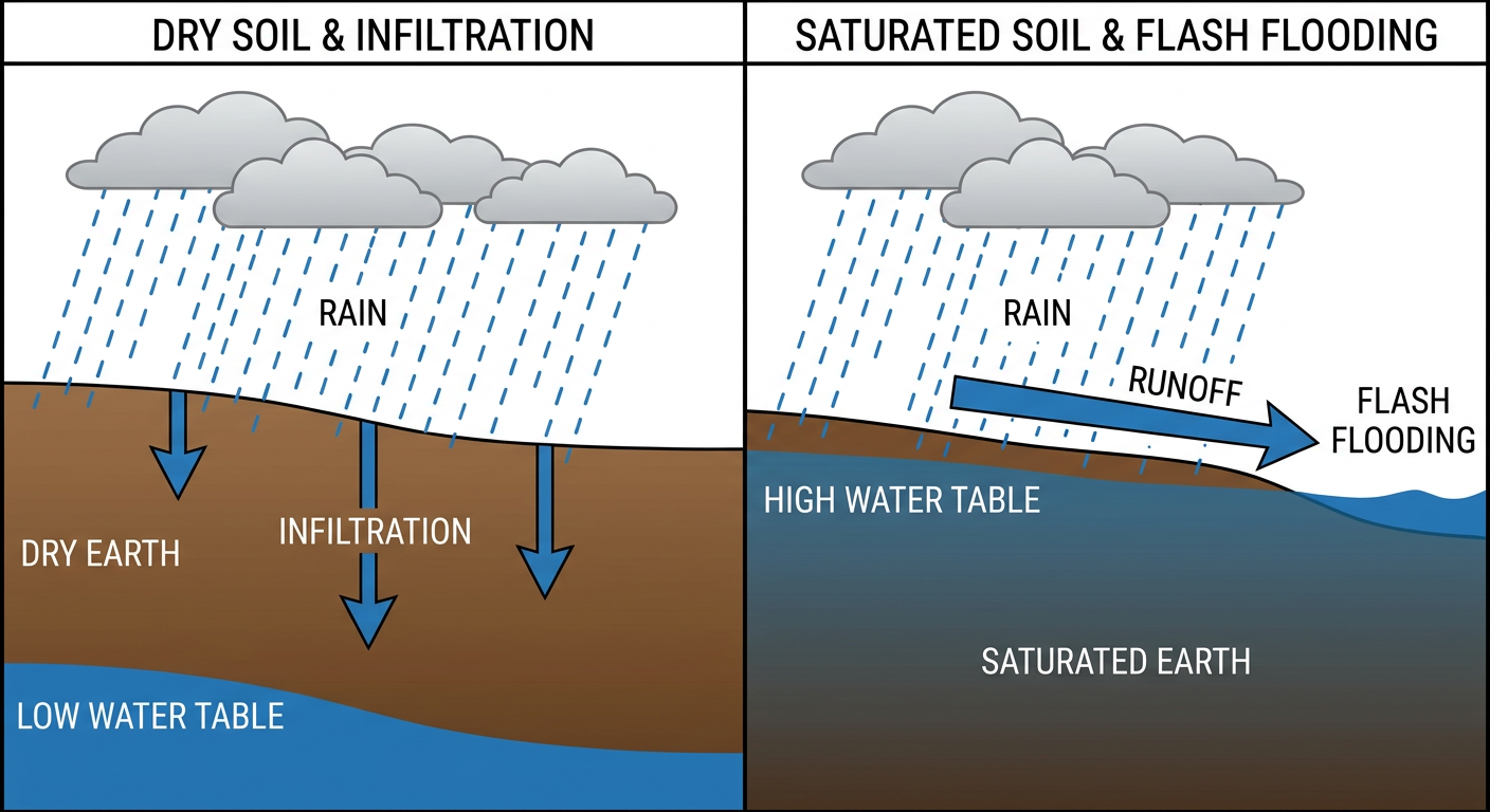
We have a slow-moving upper level low tracking into the Plains, and it is pulling a plume of deep tropical moisture right into this region. If you live in Arkansas, Missouri, or Illinois, you need to treat this rainfall threat seriously. It does not take much extra water to cause major problems when the ground is already waterlogged.
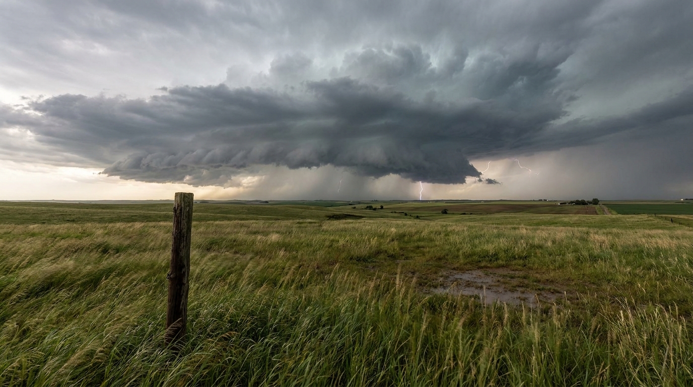
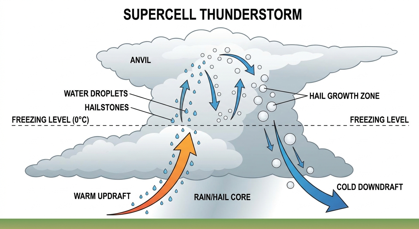
Big Hail for the Northern Plains
Up north, a cold front is going to clash with a hot, deeply mixed airmass on Sunday. We have a Slight Risk for severe storms across the Dakotas and eastern Montana.
The main hazard here is going to be very large hail. The Storm Prediction Center has a 15 percent hatched area for hail up to 2 inches in diameter. That is hen-egg size.
Normally, places like Bismarck and Minneapolis sit in the upper 70s this time of year. We are going to see plenty of heat and instability to fuel these updrafts. If you are heading out to the Twins game in Minneapolis this weekend, you are mostly east of the severe woods. But folks out in the Dakotas need to park the cars in the garage tomorrow afternoon.
Tropics and Fire Weather
Let's do a quick check on the rest of the map.
The Eastern Pacific is waking up. Tropical Storm Amanda is out there, but she is weakening and moving away from land. What we are really watching is a broad area of low pressure off the coast of southern Mexico. The National Hurricane Center gives it a 70 percent chance of becoming a tropical depression in the next couple of days. It is expected to move northward near the Mexican coast, bringing heavy rain regardless of development.
Out West, it is a completely different story. The air is bone dry. We have Critical Fire Weather areas posted for the Great Basin and the Snake River Plain in Idaho for Sunday. Gusty winds mixed with that dry air means any spark will spread fast.
Bottom Line
If you live in the Ozarks or the Mid-Mississippi Valley, respect the barricades and road closures this weekend. Do not drive through water. If you are in the Dakotas or eastern Montana, secure your property and have a way to get warnings before the Sunday afternoon storms fire up.
https://ryanhallyall.com/blog/flooded-grounds-and-falling-ice-shifting-gears-for-sunday