Blog Article
Florida Freeze & Dakota Warm-Up: Weather Update Feb 1, 2026
Historic cold hits Florida while the Northern Plains warm up. Plus, tracking a Clipper in the Midwest and an atmospheric river in the Northwest.
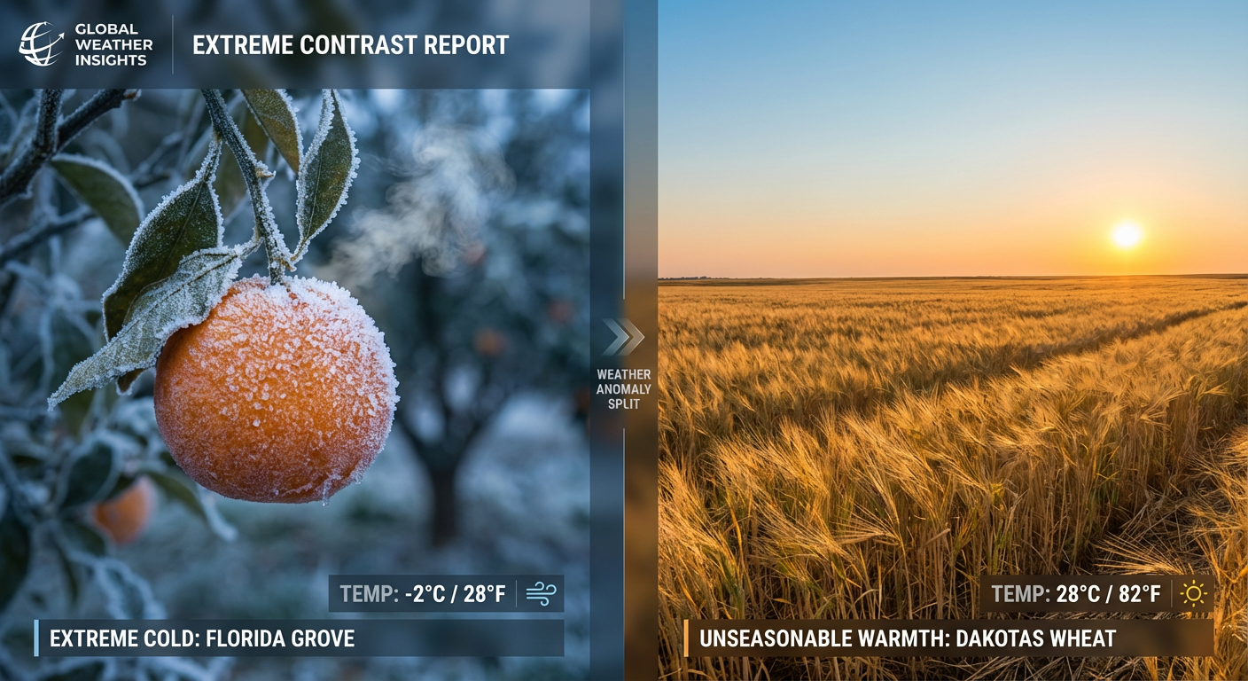
Florida Freezes While The Dakotas Thaw: The Upside-Down Weather Pattern
Alright folks, grab your coffee and pull up a chair because we need to talk about this weather map. If you stepped outside in the Southeast this morning, you know exactly what I am talking about. That massive bomb cyclone we discussed yesterday has moved out to sea, but it left the door wide open for the Arctic to just spill right down into the Sunshine State.
History in the Making Down South
Here is the thing. We are seeing Extreme Cold Warnings and Hard Freeze Warnings all the way down into the Florida Peninsula. The data from the Weather Prediction Center mentions this is some of the coldest air to hit Southern Florida since December 1989. That is not just chilly. That is historic.
For my friends near Tampa and Orlando, you are dealing with wind chills in the 20s or even teens. If you are heading out to early preparations for next week's West Palm Beach Antique Festival, you need layers on top of layers. The National Weather Service is warning about a secondary hard freeze tonight for the Florida interior and Georgia. This is serious stuff for crops, pipes, and pets. If you have been holding off on wrapping those outdoor spigots, do it now.
The Great Flip: Warmer in the Dakotas?
Now, get this. While Florida is shivering, folks in the Northern Plains are looking at temperatures in the 50s and 60s. We have a massive ridge building in the West that is pushing warm air into the Dakotas and Montana. It is a complete pattern flip.
If you are in Julian, CA, getting ready for that Outdoor Farm-to-Table Feast today, the weather is going to be absolutely spectacular. We are talking about highs 10 to 20 degrees above normal. It is a stark contrast to the East Coast, but enjoy it while it lasts.
The Clipper and The Lakes
Up North, the snow machine isn't totally done. We have an "Alberta Clipper" racing through the Great Lakes today and tomorrow. This isn't a blockbuster storm, but it is going to drop a quick 1 to 3 inches of snow from Minnesota over to Michigan and Wisconsin.
Behind it, the lake-effect snow is still cranking for Upstate New York. The Tug Hill Plateau is still getting buried. If you are traveling I-81 or I-90 near the lakes, watch out for those whiteout conditions. It changes fast.
Pacific Northwest: The Hose is On
We can't ignore the West Coast. A strong atmospheric river is pointed right at Washington and Oregon. We are seeing reports of heavy rain in the lowlands and heavy snow in the mountains. The ground is getting saturated, and with persistent rain expected through the middle of the week, we have to keep an eye on river levels and potential landslides.
Looking Ahead: Winter Reloading?
I want to give you a heads-up on the long range. The Climate Prediction Center is flagging a high risk of much below-normal temperatures returning to the Northeast and Mid-Atlantic around February 8th to 10th. It looks like the atmosphere might try to reload for another cold shot. We aren't done with winter yet, folks.
Bottom Line
- Florida & Southeast: Crucial freeze tonight. Protect people, pets, plants, and pipes. This is historic cold.
- The Plains: Enjoy the false spring. Temps are way above average.
- Great Lakes: Watch for slick spots from the Clipper system and ongoing lake-effect snow in NY.
- Pacific Northwest: Heavy rain continues. Watch for standing water on the roads.
Stay warm, stay safe, and check on your neighbors today!
https://ryanhallyall.com/blog/florida-freezes-while-the-dakotas-thaw-the-upside-down-weather-pattern