Blog Article
NFL Preseason Weekend Weather: Flood Risk Meets Kickoff
Preseason NFL games collide with a Midwest flood risk this weekend, while Tropical Storm Lala threatens hurricane conditions for Hawaii Island.
Football's Back, and So Is the Flood Risk
Alright folks, preseason football is officially here, and that means something for weather talk, too. Tonight it's Bucs at Jets and Dolphins at Commanders. Tomorrow you've got Panthers at Bills, Browns at Bears, Vikings at Giants, Rams at Chiefs, and Eagles at Ravens, all outdoors. Get this, though. A good chunk of that game map sits right on top of an active flood threat that's been building across the Midwest and Ohio Valley all week.
This isn't a coincidence you can just shrug off. Let's talk about why.
The Same Ground That Flooded Muncie Is Still Soaked
Remember Muncie, Indiana, this week? Rainfall there hit 13.7 inches during flash flood emergencies across central and eastern Indiana. That ground hasn't had a chance to dry out. The Weather Prediction Center has a Moderate risk of excessive rainfall today running from Iowa to the Appalachians, and that Moderate risk shifts tomorrow right into central Ohio and eastern Indiana, forecasters are watching for 2 to 4 inches or more on top of soil that's already saturated.
So when the Browns and Bears kick off in Chicago Saturday afternoon, or the Eagles and Ravens play in Baltimore Saturday night, they're playing inside or near a broader Slight Risk zone for severe thunderstorms that the Storm Prediction Center has stretched from northern Illinois through Indiana, Ohio, Kentucky, West Virginia, the central Appalachians, and into the Carolinas. The primary concern there is damaging wind gusts, with an isolated tornado or two possible, not a washout of biblical proportions. But if you're tailgating outside Soldier Field or M&T Bank Stadium, keep half an eye on the sky.
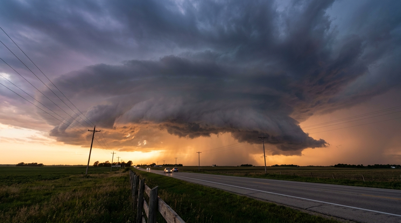
And it's not just game day. O'Hare has already been trending this week for thunderstorm-related ground stops, and that same pattern of repeat mesoscale convective systems, storm clusters that regenerate and roll through the same corridor night after night, is exactly what's been driving delays there and what could keep doing it into the weekend. If you've got a flight through Chicago before or after the Browns-Bears game, build in a cushion.
Why This Keeps Happening
August in the Midwest runs warm and humid by design. Chicago's normal high this time of year sits around 82, and when you load that up with Gulf moisture and a stalled boundary, you get the kind of repeat-round thunderstorm activity we've seen basically nonstop since August 10. This week alone brought 111 mph wind gusts in South Dakota, EF1 tornadoes in Iowa, and that catastrophic flooding in Indiana. Today and tomorrow are more of the same pattern, just shifted a little east and north toward the lower Great Lakes and Ohio Valley. It's not a new storm system out of nowhere. It's the same conveyor belt that's been running most of the month.
Meanwhile, Hawaii Has the Real Headline
While mainland football fans worry about a rain delay, Hawaii is dealing with something a lot more serious. Tropical Storm Lala is forecast to reach hurricane strength as it approaches the Big Island Saturday, and a Hurricane Warning is already in effect there. Forecasters are calling for 8 to 12 inches of rain on the island, with isolated totals up to 25 inches possible in the mountains. That's the kind of rainfall that produces mudslides on steep terrain, not just puddles in the parking lot.
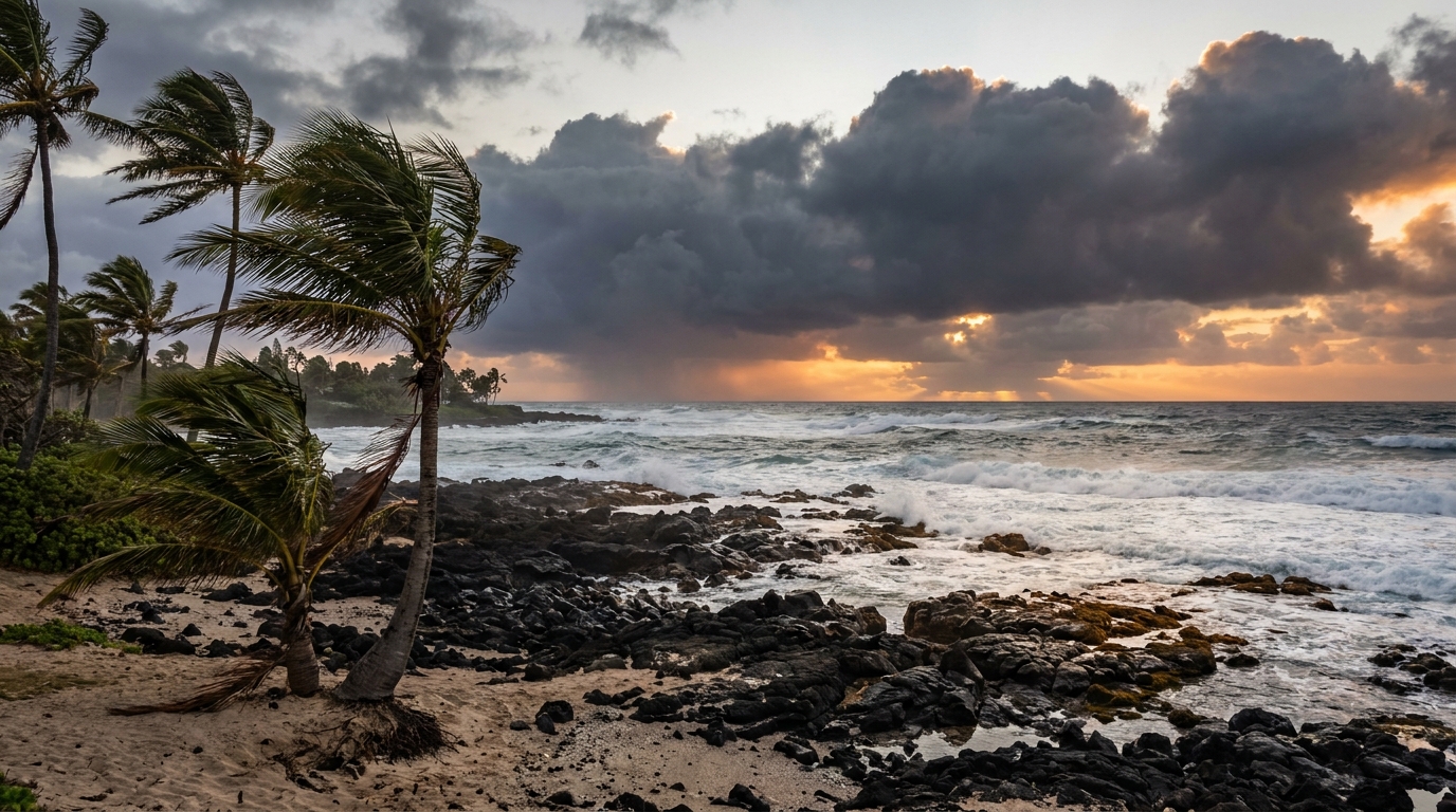
If you've got family on the Big Island, Maui County, Oahu, or Kauai, this is the one to actually worry about this weekend. It's forecast to weaken some as it interacts with the islands, but hurricane-force winds and extreme rain are still the call for the Kona Coast and South Hawaii Island specifically.
The Takeaway
Football's back, and so is the same wet, active pattern that's dominated August. If your Saturday plans involve a stadium in Chicago, Baltimore, Kansas City, or Buffalo, check the radar before first pitch, not after. And if you know somebody on Hawaii Island this weekend, that's the call you actually need to make.
https://ryanhallyall.com/blog/footballs-back-and-so-is-the-flood-risk