Blog Article
NFL Preseason Meets Active Storm Corridor This Week
Preseason football and state fairs open this week right in the Ohio Valley's active storm corridor. Here's what the setup means for fans and fairgoers.
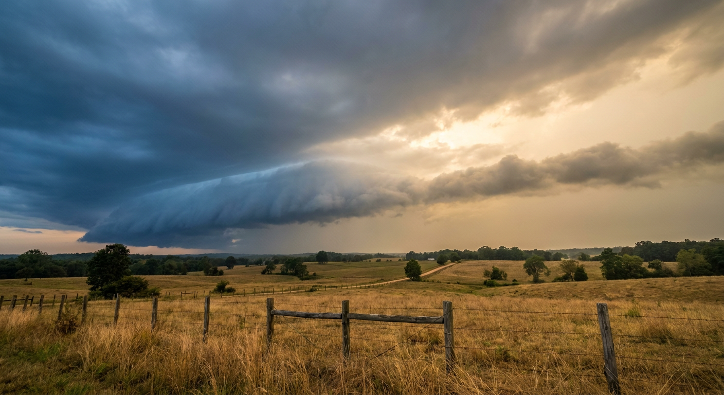
Football's Back, and So Is the Storm Corridor That Never Really Left
Alright folks, you can feel it. Preseason football kicks off in a few days, Bengals hosting the Lions in Cincinnati, Steelers hosting the Packers in Pittsburgh, Commanders hosting the Dolphins in Landover, Bills hosting the Panthers in Orchard Park. Add the Illinois and Iowa State Fairs opening Thursday and the Chicago Air and Water Show the following weekend, and you've got a whole lot of people about to be standing outside in the same stretch of the country that's been the nation's weather punching bag for two weeks straight.
Here's the thing. That's not a coincidence of bad luck. It's the same setup, night after night.
The Setup: Why the Ohio Valley Keeps Getting Hit
Go back and look at what's already happened this month. Flash flooding in Virginia with over 7 inches of rain. A brief tornado near Waverly, Iowa. Severe thunderstorm damage stretching from Middle Tennessee to the Massachusetts Berkshires just two nights ago, with trees and power lines down from West Virginia to Maine. Tonight's SPC outlook has a Slight Risk of severe storms sitting over Chicago, Milwaukee, Toledo, and Fort Wayne, with damaging wind gusts up to 75 mph possible in the hatched zone.
Monday, that risk slides east. Chicago, Columbus, Indianapolis, Cleveland, and Cincinnati all land in a Slight Risk for severe storms, with 35.5 million people under a wind and hail threat as a cold front pushes into dewpoints in the 70s and instability values of 2000 to 3500 J/kg. Tuesday, the corridor shifts again, this time toward Illinois, the Ohio Valley, and the Appalachians. And the reason it keeps happening in the same lane is simple: a cold front has gone quasi-stationary from the central Plains into the mid-Missouri and Ohio Valleys. It's parked. Storm systems keep riding along it like cars on the same stretch of interstate.
On top of the severe threat, the Weather Prediction Center has Slight Risks for excessive rainfall stacking up across the Midwest and Ohio Valley for three straight days, with training thunderstorms, meaning storms repeatedly moving over the same towns, raising real flash flood concern for Indiana, Ohio, and into West Virginia.
A Derecho Anniversary Nobody Asked For
Get this. Tomorrow, August 10th, is the sixth anniversary of the 2020 Midwest derecho, the one that tore a path from eastern Iowa through northern Illinois and Indiana with hurricane-force winds and left a scar on the Corn Belt that's still referenced in every severe weather briefing six years later. This year's setup shares some of that same geography, northern Illinois into Indiana and Ohio. To be clear, nothing in the current forecast discussion points to derecho-scale organization or that kind of extreme instability. This is a Slight Risk for scattered severe wind and hail, not a repeat of 2020. But when the calendar and the map line up like that, it's worth knowing the history of the ground you're standing on.
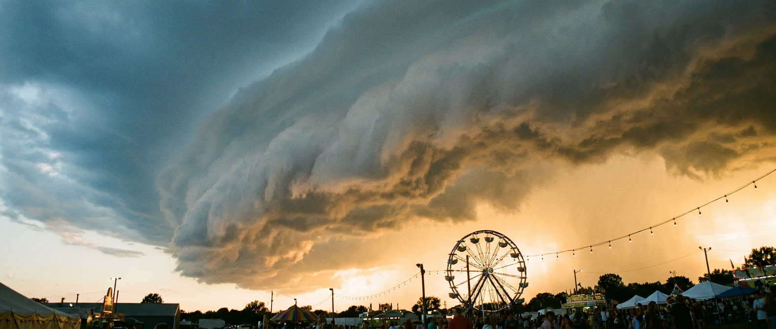
What This Means for Your Tailgate (and the State Fair)
If you're heading to the Illinois or Iowa State Fair when it opens Thursday, or you've got tickets to any of those preseason games later this week, none of this is a reason to cancel plans. It's a reason to check the forecast the morning of and again a couple hours before kickoff or gate time. The pattern we're in right now, a stalled front feeding repeated rounds of storms, tends to fire up in the afternoon and evening hours, which lines up with a lot of these events. Cincinnati, Pittsburgh, and points along that Ohio Valley stretch have been in a Marginal to Slight Risk zone for six straight days now. That's not a fluke, that's a pattern that's earned its reputation this month.
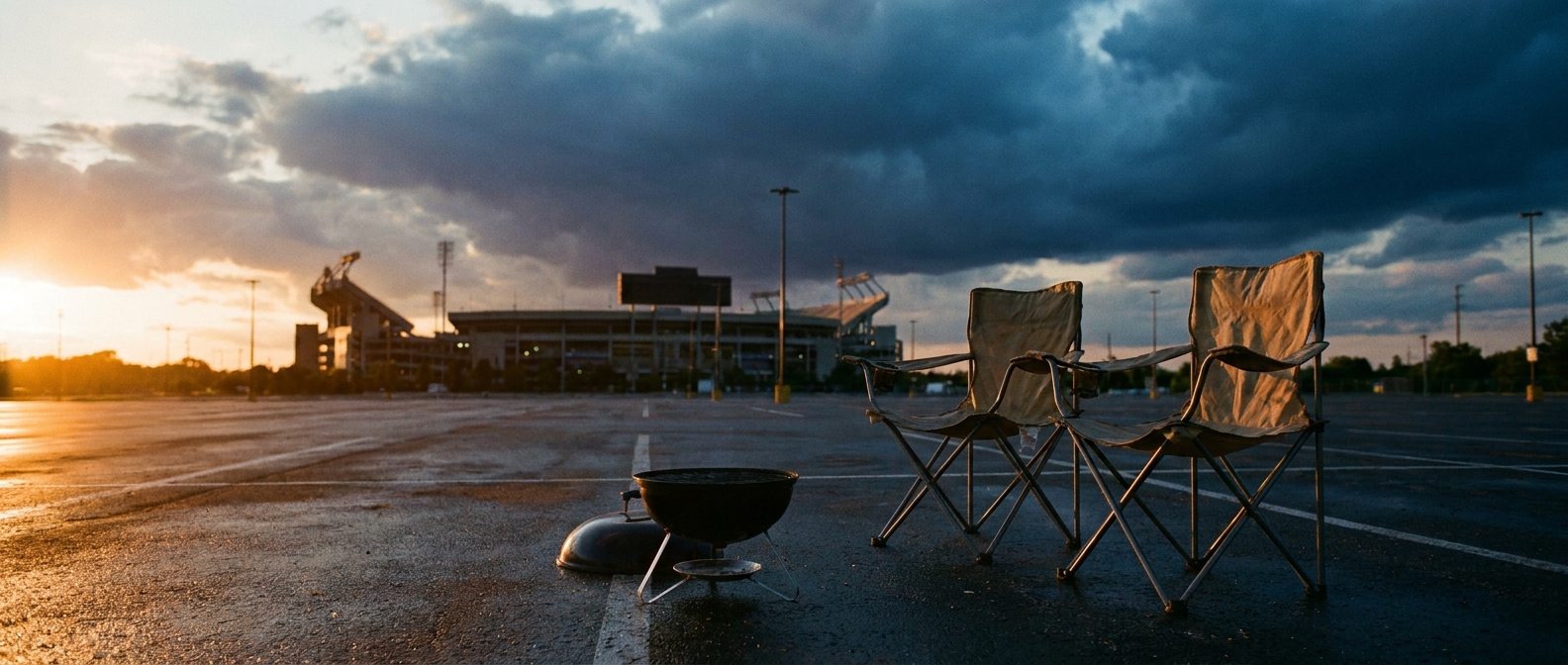
The Takeaway
Football season and fair season are walking straight into the most active stretch of weather the country's seen all month. That doesn't mean washed-out tailgates everywhere, but it does mean this is not the week to skip the forecast check. The front's not moving much, the storms keep finding the same lane, and if you're gathering outside from Chicago to Cincinnati to the Mid-Atlantic over the next several days, build in a plan B for the sky, same as you would for your bracket.
https://ryanhallyall.com/blog/footballs-back-and-so-is-the-storm-corridor-that-never-really-left