Blog Article
Week One Football Meets a Slight Risk Storm Corridor
College football's opening weekend overlaps with SPC's Slight Risk for damaging wind, from Michigan tonight to the Carolinas and Appalachians Saturday.
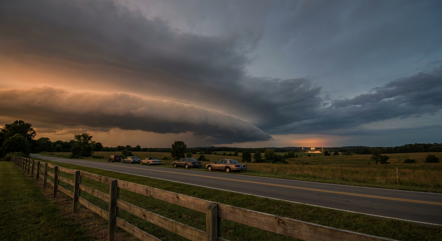
Football's Back, and So Is the Storm Risk: Week One Runs Right Into a Slight Risk Corridor
Alright folks, it's opening weekend of college football. Tailgates are firing up, bands are tuning, and half the country's got a kickoff on the calendar tonight or tomorrow. Here's the thing though. A good chunk of that Week One slate sits right on top of the same stretch of real estate the Storm Prediction Center has flagged for damaging thunderstorm winds.
This isn't a coincidence you need to panic over. But it is worth knowing before you head to the parking lot.
Tonight's Games Sit Under the Highest-End Risk
San Jose State plays at Eastern Michigan in Ypsilanti tonight. Toledo visits Michigan State in East Lansing. Both games kick off in Michigan, and Michigan is sitting inside SPC's Day 1 Slight Risk, the same category that covers Detroit, Columbus, Washington DC, Raleigh, and Virginia Beach through midnight tonight. Indiana State at Purdue in West Lafayette isn't far outside the edge of a Marginal Risk that stretches over Indianapolis and Chicago.
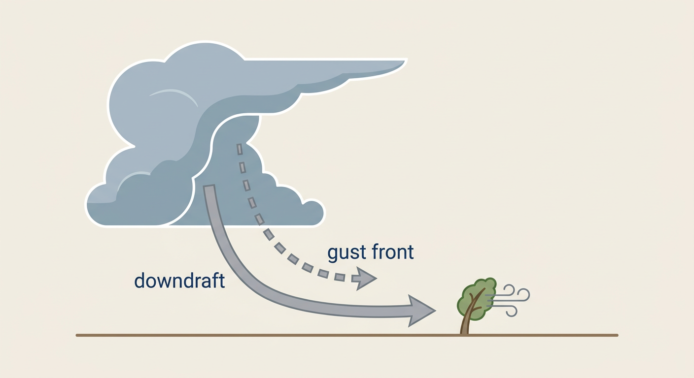
Here's why that matters for tonight specifically. SPC's forecast calls for a couple of organized thunderstorm clusters developing across the southern Great Lakes and upper Ohio Valley through tonight, and the wind probabilities in the highest tier cover about 4 million people with a 30 percent chance of numerous damaging wind reports, 60 mph gusts or better if storms fire the way the models expect. That's not a tornado threat. SPC's tornado probability is sitting at just 2 percent, isolated at best. This is a wind and gust show.
And it's the same corridor that got worked over Wednesday night into Thursday. Tornado warnings popped for radar-indicated rotation across Livingston, Washtenaw, Oakland, and Wayne counties in Michigan. Over 290,000 customers lost power in southeast Michigan from downed trees. Pittsburgh and Greensburg, Pennsylvania needed swift water rescues after urban flash flooding, including 10 people pulled from a flooded apartment building. Tonight's setup is not expected to be that intense, but it's the same stretch of ground, still recovering, catching another round.
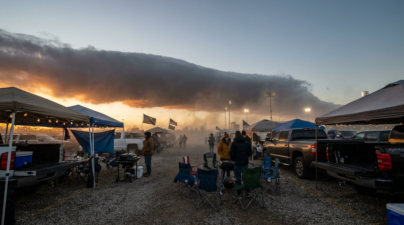
Saturday, the Risk Slides South Into the Heart of the Slate
By Saturday afternoon, the front pushes east and the severe threat relocates almost perfectly onto Saturday's biggest outdoor college football corridor. SPC's Day 2 Slight Risk covers Charlotte, Raleigh, Lexington, Knoxville, and Roanoke, with a broader Marginal Risk reaching into Atlanta, Louisville, Cincinnati, and Virginia Beach.
Look at the kickoff list for Saturday and you'll see why that matters. Furman plays at Tennessee in Knoxville. The Citadel plays at Charlotte. Maine visits App State in Boone, right up against the central Appalachians. Liberty travels to James Madison in Harrisonburg, in the Shenandoah Valley corridor SPC is watching. Coastal Carolina heads to Morgantown, West Virginia. Kent State plays at South Carolina in Columbia.
The SPC discussion is specific about the timing: strong to severe thunderstorms capable of damaging gusts are expected across the central Appalachians and Carolinas Saturday afternoon and evening, which lines up almost exactly with a wave of 7:30 PM kickoffs. Large hail is possible too, but like Friday night, this is not shaping up as a tornado day. No significant tornado threat is noted in the outlook.
There's also a rainfall angle worth knowing if you're headed to a game in eastern North Carolina. WPC has a Slight Risk for excessive rainfall there Saturday into Sunday, tied to a back-door cold front and multiple rounds of storms. Ground that's already wet from Friday's rain doesn't need much more to start ponding on roads near stadiums and tailgate lots.
Meanwhile, the Pacific Has Three Hurricanes Running at Once
While all this plays out over the Ohio Valley and Southeast, the East Pacific is stacked three deep. Hurricane Lowell is a Category 4 with 150 mph winds, tracking west-southwest well south of the Hawaiian Islands. Hurricane Marie is a Category 2 fighting off dry air west of Baja California. Hurricane Karina, a Category 1, sits far out to the east of Hawaii. None of the three carry a landfall forecast right now, but Lowell's closest approach to Kauai's south shore is expected in a little over three days, and the Central Pacific Hurricane Center already has interests in the islands on notice. If you know anybody with Hawaii travel plans this week, tell them to keep an eye on it. Not a crisis yet, but not nothing either.
What This Means For Your Weekend
If you're headed to a game tonight in Michigan or Indiana, or tomorrow anywhere from the Appalachians into the Carolinas, keep the weather app open right alongside your ticket. These aren't washout days. Most of these games will kick off and finish just fine. But a 60 mph wind gust doesn't care that it's the first Saturday of the season, and neither does a lightning delay. Know where the concourse shelter is before the anthem plays, not after the sky turns green.
Week One football and a Slight Risk outlook, sharing the same map two days running. That's just how early September works some years.