Blog Article
Ohio Valley Storms Threaten NFL Preseason, State Fair Week
Enhanced severe risk and a Moderate flood risk hit the Ohio Valley just as NFL preseason and Midwest state fairs kick off. Here's what to expect.

Football's Back, Fair Season Is Building, and the Ohio Valley Is About to Take a Direct Hit
Alright folks, here's the thing about mid-August. It's the week everything switches on at once. Preseason football kicks off Thursday with the Lions at the Bengals in Cincinnati and the Packers at the Steelers in Pittsburgh. The Iowa State Fair and the Illinois State Fair both open their gates the same day. Grandstands go up, midways get wired, and tens of thousands of people start making outdoor plans across the Ohio Valley and the Corn Belt.
Problem is, the atmosphere picked this exact week and this exact corridor to throw its most organized severe weather and flash flood setup we've seen in days.
Tuesday Is the Day to Watch
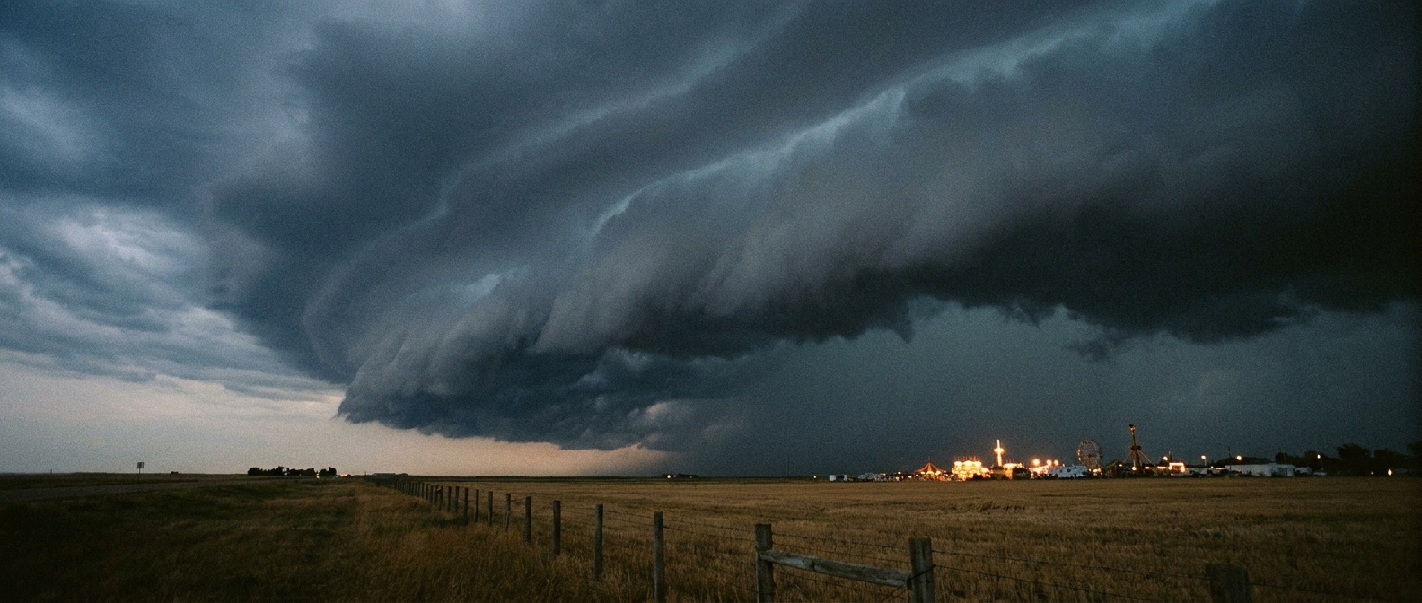
SPC has an Enhanced Risk of severe thunderstorms Tuesday running from far eastern Iowa and northern Illinois through Indiana and into southwest Ohio. That's Chicago, Indianapolis, Cincinnati, Fort Wayne, all inside the zone. The setup is a morning or early-day mesoscale convective system, basically a big organized cluster of storms, sliding southeast through the day. Damaging wind gusts are the headline hazard, with SPC putting a 30 percent probability on numerous damaging wind reports and a hatched area where gusts could top 75 mph. Large hail and a couple isolated tornadoes are also on the table.
On top of that, WPC has bumped Tuesday up to a Moderate risk for excessive rainfall across southern Ohio and western West Virginia. That's the highest category on their scale. The concern is training storms, meaning cell after cell rolling over the same spot, dropping widespread totals of 2 to 4 inches with isolated 6 to 8 inch amounts possible. Ground in that corridor is already primed from the storms that rolled through Sunday and Monday, so it won't take much to get creeks and small streams out of their banks fast.
Why the Timing Stings
This isn't a fluke pairing. We've had an active pattern all week, tracking right back to that MCS that rolled from the Upper Midwest through the Ohio Valley on Sunday, the one that put 60 to 70 mph gusts on the board in Iowa and Illinois and knocked trees into houses from Indiana to West Virginia. Tuesday's system rides that same general track. It's not the historic August 10, 2020 derecho repeating itself, and it's not the June 2023 Illinois-to-Indiana derecho either. Those are geographic precedent, not a forecast for tomorrow. But the region has seen this kind of damaging-wind setup before, and local crews in Indianapolis, Cincinnati, and Chicago know the drill.
By Thursday, when the Lions and Bengals kick off in Cincinnati and the Packers and Steelers meet in Pittsburgh, the worst of Tuesday's system should be well east of both stadiums. Same goes for the Iowa and Illinois State Fairs opening that day out in Des Moines and Springfield. The bigger lingering question for fairgoers and tailgaters isn't Tuesday's storms directly, it's what kind of ground and rivers they leave behind. Saturated soil plus another round of afternoon storms Wednesday, which SPC has under a Slight Risk for the central High Plains stretching into the Carolinas, could keep localized flooding a nuisance into the weekend.
Meanwhile, the Heat Hasn't Left Either
While the Midwest deals with wind and rain, the East Coast is stuck in the same mugginess that's been the real national storyline all month. Long Island and the greater New York City area are under a heat advisory, with heat index values pushing close to 100 degrees. Normal high for New York City in August sits at 84. That advisory is running roughly 15 to 16 degrees above what the thermometer alone would show on an average day, once you factor in the humidity load. It's the kind of stretch where the forecast headline writes itself: muggy heat and storms continue to grip the country, but there is an end in sight as this pattern starts to break down toward the back half of the week.
The Takeaway
Whether you're heading to a preseason game in Cincinnati, walking the midway in Springfield, or just trying to get the dog walked in New York before the heat index climbs, this week is a reminder that August weather doesn't wait for your calendar. Check the forecast the morning of, not three days out, and if you're in that Ohio Valley severe zone Tuesday, have a way to get warnings even if you're not near a TV. The storms move fast, and so does the water once it starts rising.