Blog Article
Indiana Flooding, NFL Preseason & Fair Season Collide
Cambridge City, Indiana flooding is trending for a reason. Here's how saturated Midwest ground, NFL preseason kickoff, and state fair season intersect this week.
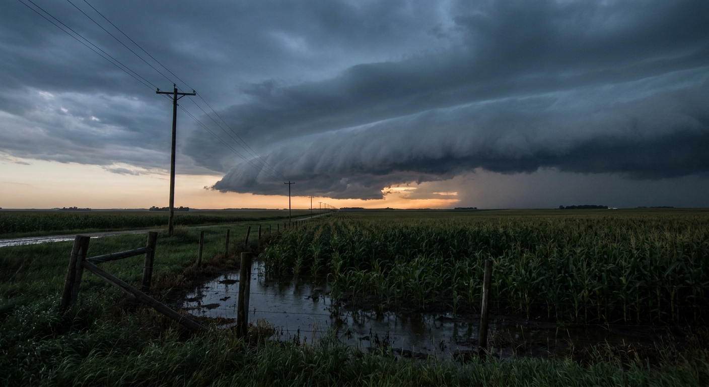
Football's Back, the Fair's in Town, and Indiana's Still Wringing Out Its Boots
Alright folks, let's talk about what's actually trending tonight, because it's not just sports scores. "Cambridge City, Indiana" and "catastrophic flooding" are sitting right there in the search data, and if you've been following this blog all week, you already know why. That town sits smack in the middle of a corridor that has taken hit after hit from Mesoscale Convective Systems since Sunday.
Here's the thing that makes this more than just a local flood story. That same stretch of the Ohio Valley, the one still pumping water out of basements, is also where America's attention is turning this weekend. The Lions play the Bengals in Cincinnati Thursday night. The Iowa State Fair opens in Des Moines. The Illinois State Fair opens in Springfield. Same general footprint. Same soaked ground. Different reason for the crowds.
Why the Ground Can't Take a Joke Right Now
Go back through this week and you'll see the pattern. On August 10, an MCS fired up tornadic activity and hail across the Midwest and Mid-Atlantic. On August 11, that system organized into a bowing line and tracked straight through the Ohio Valley, with gusts measured at 80 to 96 mph in Illinois and 82 mph in Columbus. Lake County, Indiana alone lost power to more than 192,000 customers. Flash flood rescues happened in Athens, Ohio and Somerset County, Pennsylvania.
So when WPC issued a Moderate Risk of excessive rainfall for eastern Indiana, western Ohio, and north-central Kentucky today, that's not happening in a vacuum. The discussion specifically calls out "recent heavy rainfall over the past 24 hours (3-7+ inches), including the current widespread area of elevated convection which continues to train" east across the same ground. Training storms are exactly what they sound like: one cell after another running over the same spot, like train cars on the same track. When soil is already saturated from two days of storms, there's nowhere for new rain to go but sideways, into creeks, streets, and basements. That's the mechanism behind what people are searching for out of Cambridge City tonight.
The Day 2 outlook eases that Moderate Risk back to Slight for Thursday, still centered on the Midwest into the Ohio Valley, and Day 3 keeps a Slight Risk lingering from the Front Range into the western Ohio Valley. So the worst of the flood threat should ease, but this ground needs several dry days it isn't getting yet.
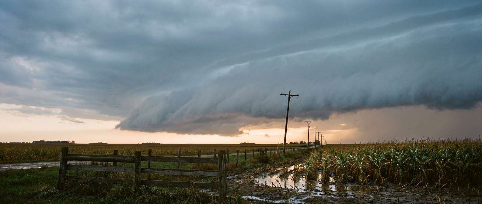
Football, Fairs, and Fog at the Same Time
Here's where it gets interesting for your weekend plans. The Storm Prediction Center's Day 1 outlook has a Slight Risk of severe storms sitting over Louisville, Lexington, Cincinnati, and Evansville tonight, with a broader Marginal Risk stretching to Chicago, Philadelphia, Indianapolis, and Charlotte. Damaging wind is the headline hazard again, with a 15 percent probability in that Slight Risk zone and a hatched area inside it where gusts could reach 75 mph or better if storms really organize.
Meanwhile, airport traffic in the same region is dealing with a double whammy. Morning fog has been dropping visibility to near zero at Chicago O'Hare and Midway, forcing LIFR conditions, and then the afternoon and evening storms roll in behind it. If you're flying through the Midwest to catch a preseason game or make it to a state fair this week, build in extra time. Ground stops and diversions have already been part of the pattern this week, not a one-off.
And if you're headed to the Iowa State Fair in Des Moines or the Illinois State Fair in Springfield, the good news is neither city sits inside today's highest-risk zones. But Thursday's outlook does put a Marginal Risk across Iowa, Nebraska, Missouri, and Kansas City, so keep an eye on the sky if you're walking the fairgrounds with a corn dog in one hand and a phone in the other.
What's Brewing Out in the Atlantic
Quick tropical note since it's peak season now. Tropical Storm Cristobal formed today about 765 miles west of the Azores, with 46 mph winds, moving fast to the east. It's not a US threat, no watches or warnings anywhere, and NHC's own discussion says the satellite presentation has already started degrading under wind shear. There are also three separate Invests being tracked (92L, 93L, and one in the Central Pacific), plus a High-risk disturbance in the central tropical Atlantic that NHC gives an 80 percent chance of development over the next two days and seven days. None of that changes anyone's weekend plans right now, but it's the kind of lineup that tells you the Atlantic is waking up for real as we move toward the heart of hurricane season.

The Takeaway
Football's back, the fairs are opening, and the same patch of the Ohio Valley that's been getting hammered by MCS after MCS all week still hasn't dried out. If you've got plans in Indiana, Ohio, or Kentucky the next 24 to 48 hours, respect standing water more than usual. The rain doesn't have to be record-breaking to cause a problem when the ground already gave up absorbing it three days ago.