Blog Article
NFL Preseason Meets Storm Season: What to Know
Preseason football and state fair season are opening right where severe storms and flash flooding have been hitting all week. Here's the forecast breakdown.
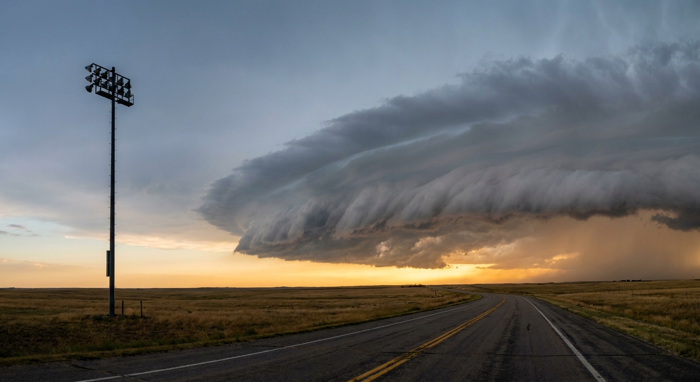
Football's Back, Y'all. So Is the Storm Track It's Landing In.
Get this, y'all. Everybody's talking about the preseason slate dropping next weekend: Lions-Bengals in Cincinnati, Packers-Steelers in Pittsburgh, Colts-Patriots up in Foxborough, Bucs-Jets and Vikings-Giants both at MetLife. Tailgates are getting planned. Coolers are getting packed. And here's the thing nobody's factored in yet: every single one of those cities has spent this past week getting worked over by the same stretch of unsettled weather we're still watching tonight.
Tonight's ballgames are sitting in the risk zone right now
While you're reading this, the Braves are in the Bronx, the Blue Jays are in Philly, and the Reds are in DC. All three of those ballparks sit inside SPC's Slight Risk area for severe thunderstorms this evening, stretching from northern Virginia up through southeast New York and into western Massachusetts. We're talking a 15% chance of scattered damaging wind gusts, the kind that snap tree limbs and take down power lines, not the kind that levels a neighborhood. Isolated large hail is on the table too.
If that sounds familiar, it should. This same corridor got hammered Thursday night into Friday morning. Trees and wires came down from Henrico County, Virginia to Rosedale, Maryland to half a dozen towns across New Jersey and Pennsylvania. Our forecast team is actually drawing a comparison to August 7, 2023, a day that produced confirmed tornadoes in New Jersey, New York, and Pennsylvania out of a similar shortwave setup. That's not a prediction that tonight repeats 2023. It's a reminder that this pattern has teeth, and the corridor's already saturated from a week of rain.
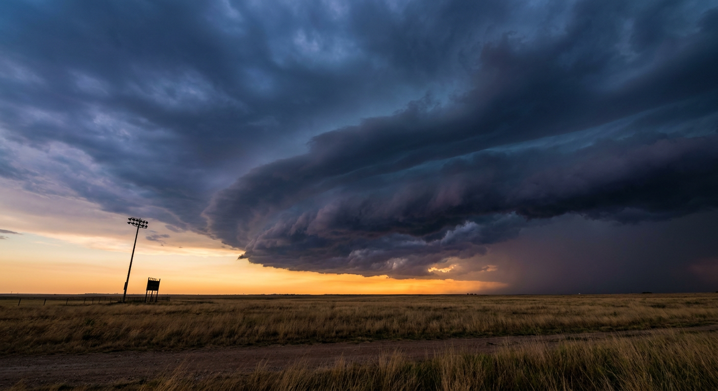
Sunday flips the target to the Midwest, right as fair season opens
By Sunday, the threat slides west. SPC has a Slight Risk up for central South Dakota and a stretch from eastern Iowa into northern Indiana, and that second zone runs straight through Chicago, Rockford, and South Bend. About 14.3 million people are in that footprint. Some of Saturday night's leftover storm cluster could still be rolling through Sunday morning, then the atmosphere gets another shot to fire off storms in the afternoon as a low-level jet kicks back in. WPC has matched it with a Slight Risk for excessive rainfall across the Upper Great Lakes, and their forecasters are flagging a 60-80% chance of more than 3 inches of rain around the Chicago metro from two separate rounds of storms, one Sunday and a slower, soggier one Sunday night.
Why does that matter beyond the forecast? Illinois State Fair opens in Springfield on the 13th. Iowa's opens in Des Moines the same day. The Chicago Air and Water Show and the Bears' preseason opener against Cleveland both land on the 15th. None of that is directly threatened by Sunday's storms, but it's the same air mass, the same corridor, and the same pattern that's been cycling through the Midwest and Ohio Valley all week. If you're road-tripping to a fair or an outdoor show anywhere from Iowa to Ohio over the next several days, keep an eye on the sky. This region hasn't had a quiet stretch in over a week.
Meanwhile, the tropics are behaving
Two tropical waves are out in the Atlantic, one a few hundred miles southwest of the Cabo Verde Islands. NHC has them both at Low risk, 0% chance of development in the next two days and only 20-30% out to day seven. Upper-level winds look hostile by the time either wave nears the Lesser Antilles. Nothing to change plans over, but it's worth knowing we're heading into the part of August when the tropics start waking up.
The takeaway
Football season and storm season are opening on the same calendar this year, in the same zip codes. Tonight's ballgames in the Mid-Atlantic are playing under an active Slight Risk. Sunday's action shifts to Chicago and the upper Midwest, right where the Illinois State Fair and the Bears' preseason opener are about to draw big outdoor crowds. None of this is a reason to cancel a tailgate. It is a good reason to check the forecast the morning of, not just the week before.
https://ryanhallyall.com/blog/footballs-back-yall-so-is-the-storm-track-its-landing-in