Blog Article
Valentine's Weekend Weather: Storms in South & Snow in West
Valentine's Day forecast 2026: Severe weather and heavy rain target Texas and the South, while mountain snow returns to the West. Get the weekend outlook.
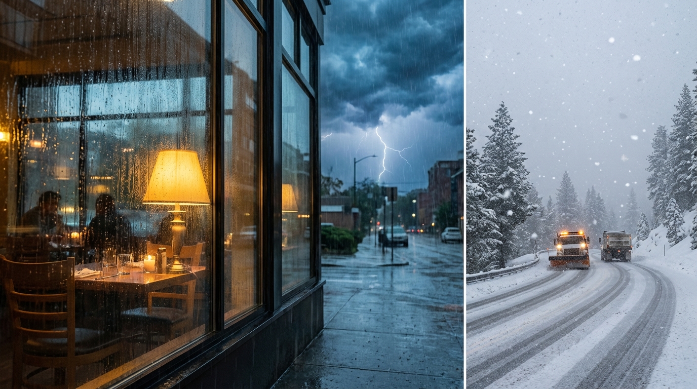
Friday the 13th & Valentine's Day Forecast: Cupid vs. The Atmosphere
Alright folks, happy Friday. It is Friday the 13th, and the weather map is definitely acting a little bit superstitious today. I know a lot of y'all have big plans for Valentine's Day tomorrow, maybe a nice dinner out or a weekend getaway. But here is the thing. The atmosphere does not care about your dinner reservations.
We are tracking a developing system that is going to crash the party across the Southern Plains and the Deep South this weekend. Plus, the West is finally getting that moisture train moving again. Let's dive in.
The Southern Soaker: Don't Forget the Umbrella on Date Night
As we talked about yesterday, that "False Spring" warmth has been nice, but it comes with a price. That warm, moist air surging up from the Gulf is fuel. And starting today into tomorrow, a low-pressure system is going to light that fuel up.
Here is the timeline:
- Friday (Today): We have a Marginal Risk for severe weather across parts of Oklahoma and Texas. If you are in Oklahoma City, Wichita, or Lubbock, keep an eye on the sky this evening. It is mostly a hail and wind threat, but you don't want your car getting dinged up right before the weekend.
- Saturday (Valentine's Day): This is the main event for the South. The Storm Prediction Center has highlighted a Marginal Risk for severe storms expanding into Dallas, Houston, Austin, and San Antonio. But the bigger story might be the water. The WPC has upgraded the risk for excessive rainfall to a Slight Risk (that's level 2 out of 4) from the ArkLaTex region over into the Mid-South.
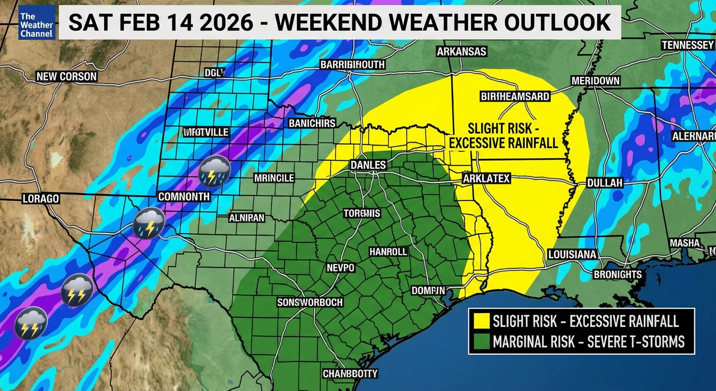
If you have outdoor plans in Houston or Shreveport for Valentine's Day, you need a Plan B. We are talking about heavy rain bands training over the same areas. That means flash flooding is a real possibility. Nothing kills the romantic vibe faster than hydroplaning on the way to the restaurant.
The West Is Waking Up
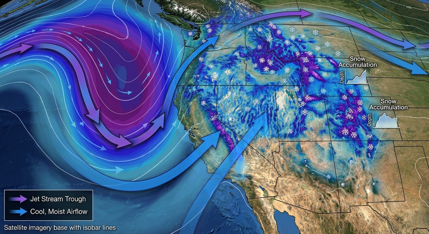
While the South gets soaked, the West is getting a pattern change. We have been watching a ridge dominate, but that is breaking down. A big trough is digging in offshore, and it is going to bring widespread precip back to California and the Rockies.
- Sierra Nevada & Rockies: Get ready for snow. The WPC is showing moderate-to-high chances for over 4 inches of snow in the high elevations of Colorado and New Mexico. If you are hitting the slopes, it is great news. If you are driving through the passes, not so much.
- The Pacific Northwest: Rain is returning. It is not an atmospheric river washout yet, but it is going to be wet and breezy.
Space Weather: The Sun Is Still Active
I want to touch on this because we saw that massive solar flare earlier this month. The Space Weather Prediction Center says we are still in a chemically active period. We had a minor M-class flare recently, and while it is not the X-class monster we saw before, it keeps the chance for auroras alive in the high latitudes. It is just another reminder that the weather isn't just about what happens down here on Earth.
Bottom Line
For the South (TX, OK, AR, LA, MS):
Valentine's Day looks wet and stormy. If you are in the Marginal Risk areas (Dallas, Houston, San Antonio), stay weather aware late Saturday afternoon into the night. Have a way to get warnings if a storm spins up.
For the West:
Winter driving conditions are returning to the mountain passes. Check your local DOT before you head out.
For Everyone Else:
Enjoy the weekend. If you are in the East, you are mostly dealing with the cold left behind by that last system, but it should be dry for the most part. Stay safe, keep your eyes on the sky, and I'll catch y'all in the next one.
https://ryanhallyall.com/blog/friday-the-13th-valentines-day-forecast-cupid-vs-the-atmosphere