Blog Article
Friday Severe Risk Hits Carolinas, Rain Soaks New England
A cold front brings a Marginal severe threat to the Carolinas and a Slight excessive rainfall risk to New England Friday. Full forecast, timeline, and impacts.
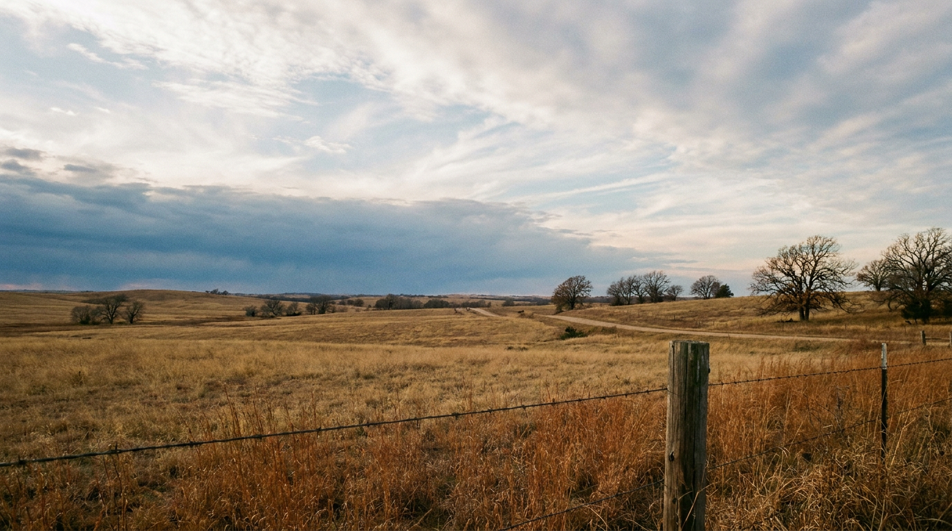
Friday's Two-Coast Setup: A Carolina Severe Watch and a New England Soaker
Alright y'all, today itself is pretty quiet. The real story is what's cooking for Friday, and it's a two-coast kind of day. One system, two very different headaches depending on where you live.
The Setup: One Front, Two Problems
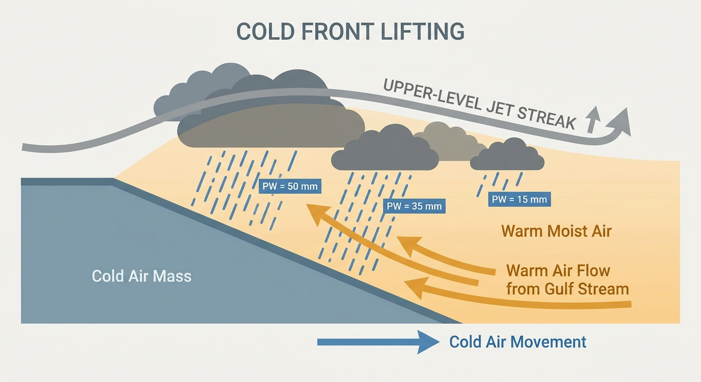
An upper-level low is going to crawl east across the Great Lakes through Thursday night and Friday, with a speed max of energy riding out ahead of it into the Mid-Atlantic. That's going to drag a surface trough and eventually a cold front down into the Southeast. Ahead of that boundary, southwest flow is going to tap into warm, moist air off the Gulf Stream, and that moisture gets squeezed out in two different ways depending on latitude.
Down in the Carolinas and southeast Virginia, that warm sector gets just unstable enough for a few strong to severe storms. Up in New England, the same southwest flow is cranking serious moisture transport northward, and with precipitable water values running 2 to 2.5 standard deviations above normal, that's a setup for heavy rain rather than severe storms.
Eastern Carolinas and Southeast Virginia: Marginal Severe Risk Friday
SPC has a Marginal Risk posted for Friday covering Virginia Beach, Norfolk, Burgaw, Cape Hatteras, and Cape Lookout. That's about 4.7 million people in the risk zone. This is not a big outbreak setup. The tornado probability sits at 2 percent (Level 1, isolated tornado threat) and the wind probability is 5 percent (Level 1, isolated damaging wind threat). Translation: if storms do fire along that front, a few could turn strong, with an isolated tornado or a 60 mph gust not out of the question, but this isn't a widespread severe weather day.
For context, average November highs in Raleigh run around 62°F with lows near 40°F. Expect temperatures close to or a touch above that ahead of the front Friday before things cool down behind it.
Southeastern New England: Slight Risk of Excessive Rainfall
This is the part of Friday's story with the higher ceiling for trouble. WPC has bumped southeastern New England, basically eastern Long Island and Connecticut into Rhode Island and eastern Massachusetts, up to a Slight Risk of excessive rainfall for Friday into Friday night. Current guidance suggests 3 to 5 inches of rain, maybe more in spots, could fall across that corridor. The rainfall axis has been trending eastward in recent model runs, but if it shifts back west even a little, the New York City metro and Long Island (currently in a Marginal risk) could see the heavier totals too.
For reference, Boston's average November high is 51°F and the average low is 38°F. This isn't a cold rain though. It's being driven by warm, moist southerly flow, so temperatures will likely run a bit above that normal even as the rain piles up.
Still Drying Out in North Georgia
Worth remembering where this week started. Training thunderstorms dumped 5 to 6 inches of rain on Fannin and Gilmer counties in the north Georgia mountains overnight into early this morning, triggering a Flash Flood Warning with Flash Flood Emergency wording, mudslides, and multiple water rescues around Blue Ridge, Cherry Log, and McCaysville. That capped off a busy week that also included river flooding in Missouri, Louisiana, and Florida, plus early-season mountain snow near Leadville, Colorado. If you're in that stretch of the Appalachians, give saturated slopes and swollen creeks a little more time before you assume everything's back to normal.
Today: About As Good As It Gets Along the Gulf Coast
If you're looking for the nice weather today, head toward the Gulf Coast, the lower Mississippi Valley, or southeastern Arizona. Light winds, low humidity, and mostly clear skies are putting that zone in "beautiful" territory on our composite scoring, just a few points shy of a perfect day. If you've got plans at the Stockyards Championship Rodeo in Fort Worth today, you're in a good spot. Friday's nice-weather band actually shifts toward a corridor running from western Texas and southeastern Arizona through the southern Appalachians, so that stretch stays pleasant even as the Carolinas and New England deal with their respective headaches.
Watching the Tropics, But Nothing Threatens the U.S. Right Now
There's no named storm anywhere in the Atlantic, Pacific, or Caribbean today. That said, NHC is tracking a few areas:
- CP95 (Central Pacific): A broad low well southeast of Hawaii has a High chance (70 percent through day 7) of becoming a tropical depression in the next several days. It's far from any coastline that matters to U.S. mainland readers.
- EP95 / an East Pacific area: A Medium chance (60 percent through day 7) system, also well offshore of Mexico and Central America.
- A non-tropical low south of Bermuda: This one could gradually pick up subtropical characteristics through the weekend as it drifts slowly east over the open Atlantic, but it's expected to become unfavorable for development by early next week and isn't a U.S. threat.
None of these are impacting anybody's forecast right now. We'll keep an eye on them, but there's no action needed.
Space Weather: A Minor Storm Tonight, A Bigger Watch Mid-Month
SWPC says geomagnetic activity should reach unsettled to active levels tonight as a weak coronal hole stream wanes and a glancing blow from an earlier CME arrives. Minor G1 storming is possible Friday and Saturday too. If you're way up north and the skies are clear, it might be worth a peek for aurora. Looking further out, SWPC's 27-day outlook flags a slightly stronger G1 (Minor) geomagnetic storm potential around November 17-18 and again November 27-28, with a peak Kp of 5. Nothing alarming, just something we're tracking on the calendar.
Looking Ahead: A Crisp, Beautiful Saturday in the Mountains
Once Friday's front clears out, Saturday looks like the pick of the week for East Tennessee, western North Carolina, the South Carolina Upstate, northeast Georgia, and southern West Virginia. Drying high pressure brings cool, lightly breezy, comfortable conditions, about as good as it gets through the weekend. Out west, an active eastern Pacific pattern keeps shoving moisture into the Pacific Northwest, meaning more rounds of high-elevation Cascades snow and some Great Lakes lake-effect snow showers into early next week.
Key Things We're Watching
- SPC Marginal severe risk Friday for eastern NC and southeast VA, with isolated tornado and damaging wind potential
- WPC Slight Risk of excessive rainfall Friday into Saturday for southeastern New England, with 3 to 5+ inches possible
- Whether that New England rainfall axis shifts west toward NYC and Long Island
- Continued flood and mudslide cleanup in the north Georgia mountains
- Three separate tropical areas being monitored in the Pacific and Atlantic, none currently a U.S. threat
- Minor G1 geomagnetic storm potential tonight through Saturday, with another watch period mid-to-late November
Bottom Line
Today's an easy day almost everywhere, especially along the Gulf Coast. Friday's the day that needs your attention if you're in the eastern Carolinas or southeast Virginia (have a way to get warnings, even though this is a Marginal, not a major, severe setup) or if you're in southeastern New England, where ponding and localized flash flooding are the bigger concern with several inches of rain possible. Everybody else, especially if you're headed to the mountains this weekend, enjoy what's shaping up to be a genuinely nice stretch of fall weather.