Blog Article
Record Heat, Fire Danger & Midwest Severe Weather Outlook
Track the latest weather whiplash with record 90-degree heat in the Plains, critical fire danger in Wyoming, and severe storms heading for the Ohio Valley.
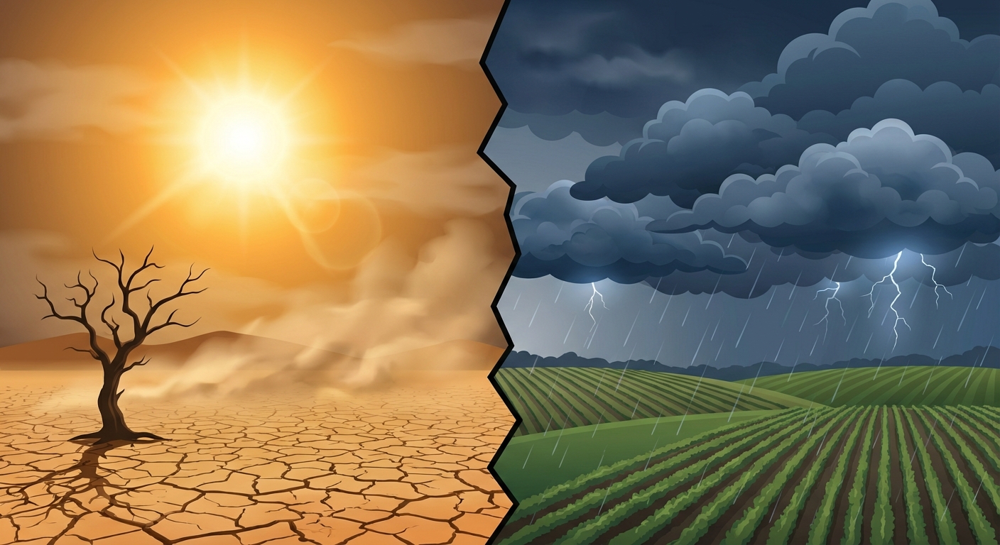
From 90-Degree Heat to Severe Storms: The Weather Whiplash Continues
Alright folks, gather around. Yesterday we talked about how a strong G3 solar storm might have been messing with your apps and causing some crazy space weather. Well, the sun has thankfully calmed down today. But get this, our weather down here on Earth is still throwing an absolute temper tantrum.
We are swinging right from winter coats straight into keeping the AC running full blast, and that kind of weather whiplash always sets the stage for a messy week. Let's break down exactly what is happening and how it is going to impact your daily life.
Baking in the Plains and Critical Fire Danger
Have y'all seen the temperatures in the central part of the country? We are talking about North Platte, Nebraska forecasting a record high of 90 degrees. For late March, that is just incredible. It is definitely going to feel like a false summer out there.
But here is the thing, with that extreme heat comes bone-dry air and howling winds. The Storm Prediction Center has highlighted a Critical Fire Weather area for Wednesday across central and eastern Wyoming, far western Nebraska, and southwest South Dakota.
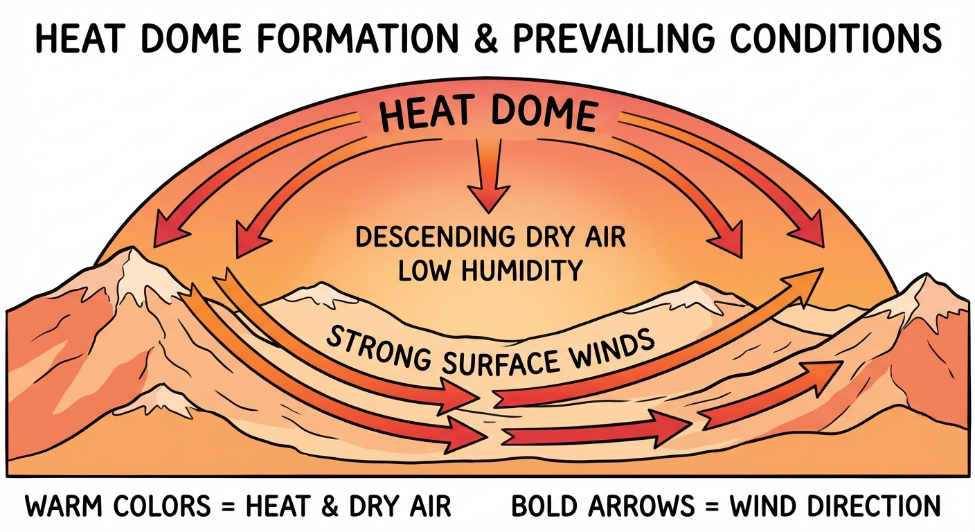
We are looking at wind gusts up to 40 mph and humidity levels dropping to 10 to 15 percent. If a spark catches in places like Casper, Gillette, or Riverton, it is going to spread incredibly fast. Please, do not do any outdoor burning if you live in these areas.
The Next Severe Weather Maker
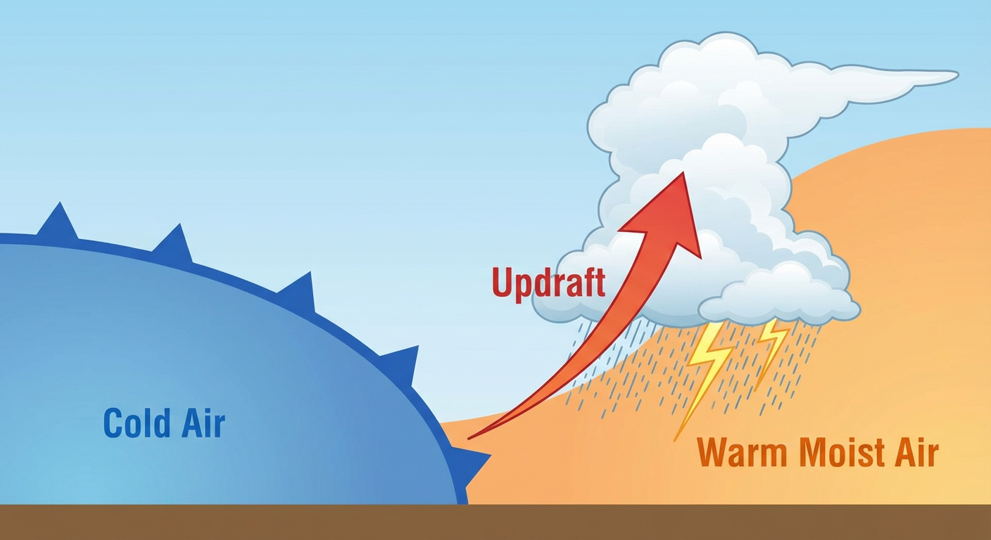
All that heat pooling up in the central US is eventually going to clash with a strong cold front pushing east.
Even starting tonight, we have a 40 to 50 knot low-level jet moving into the Ohio Valley. That is basically a river of very fast-moving air a few thousand feet above our heads. It is going to help trigger some elevated thunderstorms overnight, meaning you might be woken up by some loud thunder and potentially some small hail bouncing off the roof.
But the main event we are watching is on Thursday. The Storm Prediction Center has issued a Slight Risk for severe thunderstorms across the Midwest and Ohio Valley.
Here are the key areas in the bullseye for Thursday:
- Indianapolis, Indiana
- Columbus, Ohio
- Cincinnati, Ohio
- Fort Wayne, Indiana
- Dayton, Ohio
There is also a broader Marginal Risk that stretches out to include massive metro areas like Chicago, Detroit, Kansas City, and St. Louis. We are expecting scattered strong to severe thunderstorms late Thursday afternoon and evening. There is also a Marginal Risk for excessive rainfall, so a few flooded roads during your Thursday evening commute are certainly possible.
What Else Are We Watching?
- West Coast Cooldown: While the middle of the country bakes, the Pacific Northwest is getting a reality check. Snow levels in the Cascades are dropping down to 2,000 feet behind a cold front. If you are driving through Stevens Pass, expect slushy, snowy conditions and plan for extra travel time.
- Weekend Plans: If you have outdoor plans this weekend, like heading to the big Subaru Cherry Blossom Festival in Philadelphia, keep a close eye on the forecast. That Midwest cold front will eventually make its way toward the East Coast by the weekend, and you might need an umbrella.
The Bottom Line
We are dealing with a little bit of everything right now. If you are in the High Plains, respect the fire danger and keep your vehicles off dry grass. If you live in the Ohio Valley or the Midwest, now is the time to make sure your weather radio has fresh batteries and your phone notifications are turned on loud for Thursday evening.
Stay safe out there, y'all, and keep looking up!
https://ryanhallyall.com/blog/from-90-degree-heat-to-severe-storms-the-weather-whiplash-continues