Blog Article
Florida Flood Risk & Northern Plains Fire Weather | May 12
Heavy rain and isolated severe storms target the Florida Peninsula today, while critical fire weather conditions build across Montana and North Dakota.
From Florida Downpours to Northern Plains Fire Danger
Y'all, we have been through the wringer over the last week. From grapefruit-sized hail shattering windshields in Texas to that intense line of storms that flooded out parts of Baton Rouge yesterday, the atmosphere has been working overtime. Today, things are finally starting to downshift a bit for the Deep South, but we still have a few trouble spots to watch. If you are flying through Jacksonville or Orlando today, you might want to pack some patience.
Florida's Soggy Setup
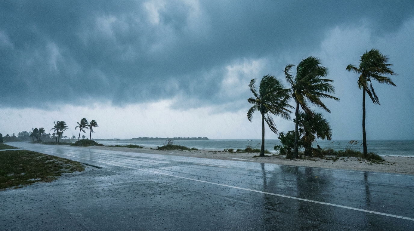
A cold front is sagging southward into the Florida Peninsula today, and it is going to stall out. When you combine that boundary with the afternoon sea breeze and a whole lot of moisture, you get a recipe for heavy rain and isolated severe storms.
The Weather Prediction Center has a Marginal Risk for excessive rainfall along the I-95 corridor. We are talking about the potential for localized flash flooding, especially in urban areas where the water just cannot drain fast enough. The Storm Prediction Center also has a Marginal Risk for severe storms here. If a storm gets robust enough along that sea breeze collision, a brief tornado or a damaging wind gust is possible.
Northern Plains Fire Danger
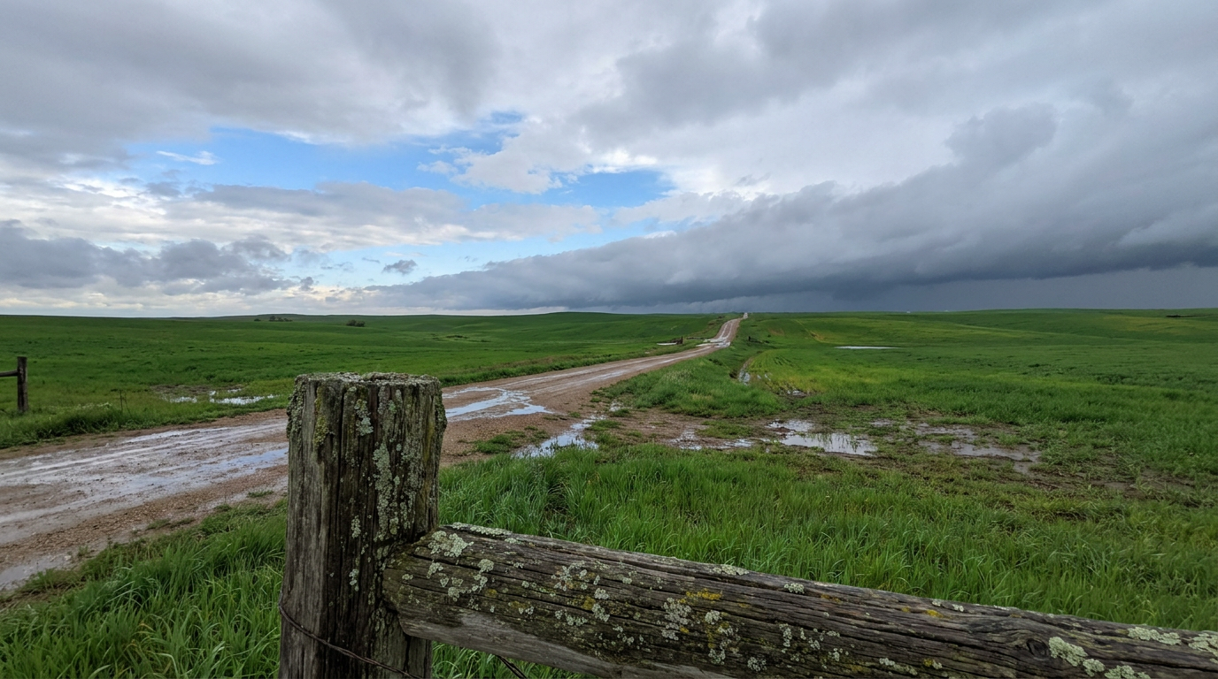
Now, let us look up north. Tomorrow, the setup in the Northern High Plains is going to get spicy in a completely different way. We are tracking a Critical Fire Weather risk for northeastern Montana and northwestern North Dakota.
An upper-level low moving inland is going to tighten up the pressure gradient, bringing strong, dry winds to a region that is already parched. The local forecast offices up there are expecting the warmest temperatures of 2026 so far, with highs pushing into the lower 90s. If a fire starts out there on Wednesday, it is going to spread fast. We are also watching for high-based thunderstorms in the Northern Rockies that could produce dry lightning and severe microburst wind gusts.
The Weekend Plains Threat
I also want to put a bug in your ear about this coming weekend. The Storm Prediction Center has already highlighted a 15 percent risk area for severe weather across the Central Plains for Friday and Saturday.
The mid-level flow is going to shift out of the southwest, pulling a juicy, unstable airmass right back into Oklahoma, Kansas, and Missouri. Temperatures in places like Kansas City will be sitting right around their normal mid-70s, but the returning humidity is going to make it feel much heavier. If you have outdoor plans this weekend, maybe heading to a baseball game or getting some yard work done, just make sure you check the forecast before you head out.
Bottom Line
The severe threat is lower today than it has been, but lower does not mean zero. Keep an umbrella handy in Florida and watch out for ponding on the roads. Up in the Dakotas and Montana, avoid any outdoor burning tomorrow. And for folks in the Plains, use these quiet days to review your severe weather plan before the weekend gets here.
https://ryanhallyall.com/blog/from-florida-downpours-to-northern-plains-fire-danger