Blog Article
Severe Risk Shifts to Mid-South, Florida Flood Watch Lingers
Marginal severe storms and a Slight flood risk hit the Mid-South today while Florida and the Southwest recover from this week's flooding. Full forecast inside.
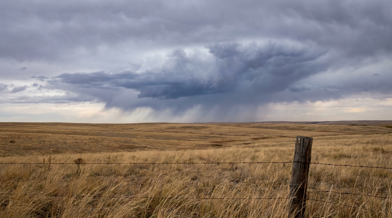
Front Pushes East: Marginal Severe Risk and Heavy Rain Target the Mid-South, Florida's Flood Watch Isn't Done Yet
Alright y'all, let's talk about where yesterday's mess went. Remember those tornado watches that popped up across the Texas and Oklahoma Panhandles, the 75.8 mph gust near Braman, Oklahoma, and the hail reports out of Norman? That whole system didn't just disappear overnight. It's sliding east, and today it's the Mid-South and lower Mississippi Valley's turn to pay attention.
Today's Setup: Marginal Severe Plus a Flood Risk
SPC has a Marginal risk of severe thunderstorms posted from the Sabine River Valley up into the lower and mid Mississippi Valley. That stretch covers Memphis, Little Rock, Shreveport, Springfield, and Jackson, Mississippi, and it's home to over 14 million people. Here's what that actually means: an upper-level trough is sweeping across the Plains today, and the cyclonic flow around it is keeping storms fired up along and ahead of a cold front.
The tornado threat sits at 2 percent, which SPC calls a Level 1, isolated tornado threat. Wind is a bit higher at 5 percent, also Level 1, which covers the chance of a 60-plus mph gust if a storm or two gets going. This is not outbreak territory like yesterday was. It's a "know what to do if your phone buzzes" kind of day, not a "cancel your plans" day.
The bigger story today might actually be water, not wind. WPC has a Slight risk of excessive rainfall over that same general corridor, from East Texas through the Mid Mississippi, Lower Ohio, and Tennessee Valleys. Storms that have already developed along that cold front are producing moderate to heavy rain, and if they train over the same spots for a while, isolated runoff and small stream flooding become a real concern. Southeast Florida also carries a Slight risk today, a holdover from the flash flood emergency that hit Palm Bay and West Melbourne earlier this week.
Looking Back at This Week
It's worth pausing on just how active this week has already been. Monday and Tuesday brought a historic rainfall record on Oak Creek near Cornville, Arizona, which broke its 1993 stage record. The Gila River at Solomon hit 26.05 feet, major flood stage. The Little Colorado near Winslow hit 24.81 feet against a 19-foot flood stage. Evacuations and swift water rescues happened along the San Juan, Animas, and La Plata rivers in New Mexico and Colorado. That water is finally starting to recede as of this morning, but if you're in those river basins, give it another day or two before you trust low-lying roads again.
And Florida. Lord, Florida. Palm Bay picked up 13.6 inches of rain in one stretch, with radar estimates running 15 to 22 inches in spots of Brevard and Indian River counties. NWS Melbourne declared a Flash Flood Emergency. Southeast Florida is drying out, but with another Slight risk on the board today and a Marginal risk tomorrow, the ground is still saturated and it won't take much to cause trouble again.
Tropical Watch: Nothing Imminent for the US
No named storms anywhere right now. There are two disturbances on NHC's radar worth a quick mention. One is well southeast of Hawaii in the central Pacific and actually has a High risk designation, 30 percent in two days and 70 percent in seven, for eventual tropical depression development. That's a Pacific system, far from US land impacts, so just something meteorologists will be tracking offshore. Closer to home, there's a weak area of low pressure expected to form near the Bahamas in the next day or so that could pick up some subtropical characteristics. NHC has that at just a 10 percent chance in two days and 30 percent in seven, and it's expected to drift northeast out to sea by the weekend. Low confidence, low concern.
What Else Is on the Radar This Week
- Looking ahead to Days 4-7: A progressive pattern kicks in Thursday through the weekend. Multiple Pacific disturbances will bring rounds of high-elevation snow to the Cascades and Northern Rockies. East of the Rockies, an initial cold front passage ushers in cooler air late week.
- Space weather: Quiet to unsettled through the next couple days as a coronal hole high-speed stream fades out. NOAA's 27-day outlook flags a G1 Minor geomagnetic storm watch around November 17-18 and again November 27-28, but that's purely a northern lights and satellite-operations story, nothing that affects your weekend plans.
- Temperature context: The nice-weather discussion data shows a lot of the country sitting in the upper 50s to mid-60s for highs today, which lines up close to normal for most of the Mid-South. Little Rock's November norm is a high around 62, Jackson, Mississippi sits around 66. Nothing wildly out of whack temperature-wise today, the story is moisture and instability, not heat or cold.
Outdoor Plans and Travel Today
If you're headed to the Dragon Lights Festival in Reno tonight or the marching band competition in San Antonio, you're in good shape. Both sit outside today's active weather zones, and the forecast-day nice weather outlook actually points to south-central Texas as one of the better weather pockets in the country come Wednesday.
If you've got tickets to the Icemen-Ghost Pirates game in Jacksonville or the Gladiators-Solar Bears matchup in Orlando, those are indoor arenas, so the hockey's fine regardless. Just budget extra drive time getting there if you're coming from anywhere near the southeast Florida flood watch area, since saturated ground means standing water can show up fast in low spots even from a brief downpour.
Travelers flying through Memphis or Little Rock today should keep an eye on afternoon storm timing. IFR conditions and ground delays are possible if a stronger cell rolls through near either airport.
Bottom Line
Today's severe threat across the Mid-South is Marginal, not a major outbreak like the Plains saw yesterday, but the rain side of this system deserves real respect. If you live anywhere from Shreveport to Memphis to Jackson, Mississippi, keep half an eye on the sky this afternoon and know that a stray strong wind gust or brief tornado isn't out of the question. Southeast Florida, y'all have earned a break, but the ground is still full and another round of heavy rain today means it's not quite time to let your guard down. Out west, the rivers are coming down, but give the Four Corners region a little more time before you trust flooded roads again.