Blog Article
Texas FuelFest Weather: Weekend Hail Threat and Solar Flares
FuelFest hits Fort Worth this weekend just as a severe weather setup brings a major hail threat to Oklahoma and Texas. Plus, a look at recent X-class solar flares.
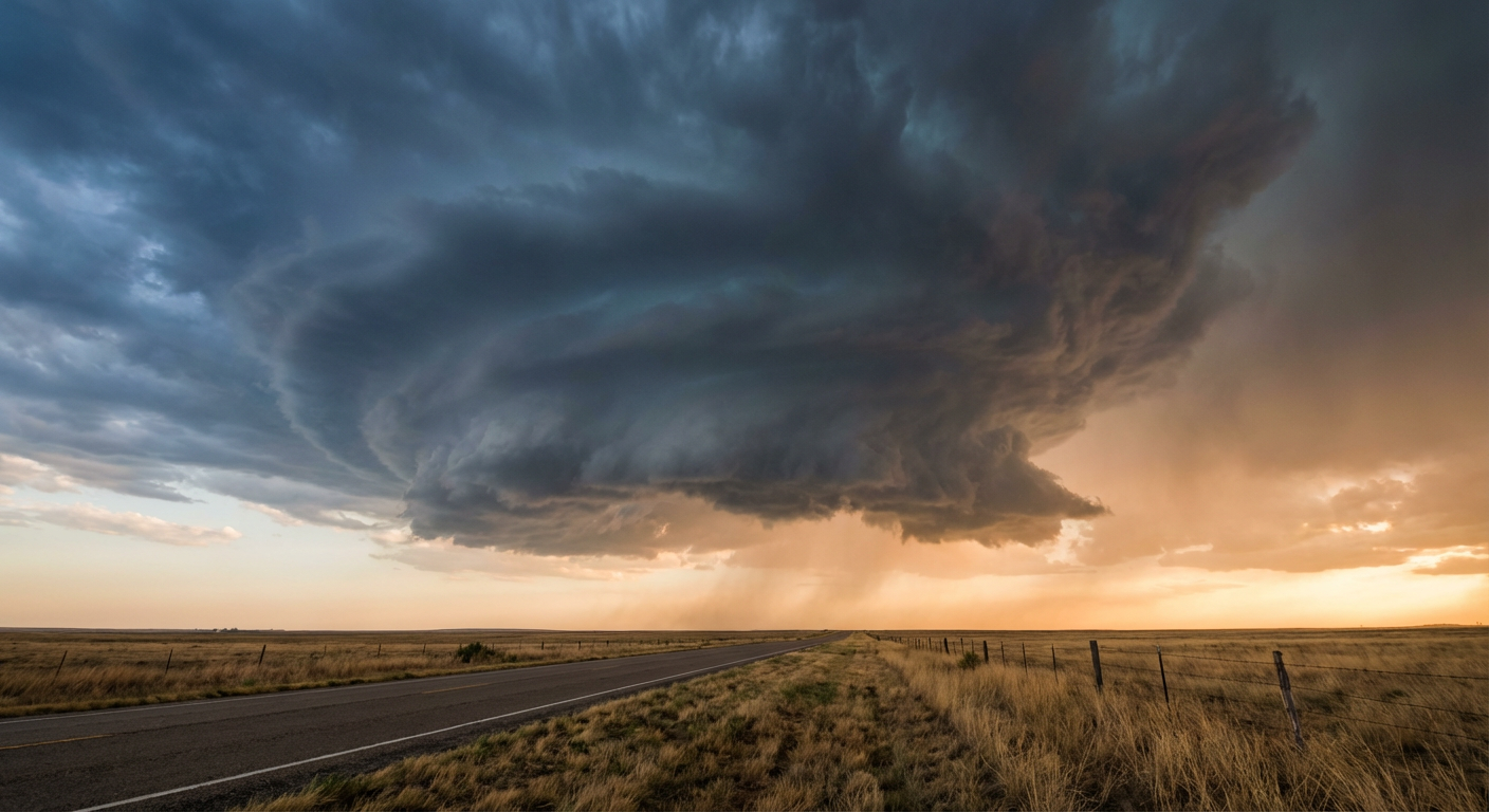
Y'all know the exact feeling. You just spent three hours washing, clay-barring, and waxing your truck. The paint looks like glass. You park it in the driveway, look up, and the sky is starting to turn that weird shade of bruised purple.
We have a massive weekend of outdoor events kicking off across Texas. FuelFest is taking over Fort Worth tomorrow. Down in Austin, the Blues Fest is keeping folks outside late into the evening. The climatological average high for Dallas right now is a perfect 77 degrees, which is exactly what you want for a car show.
But the atmosphere is brewing up a classic spring clash just a few hours north on I-35.
The Setup Along the Red River
A deep upper-level low is currently parked over Canada. That system is sending a subtle shortwave down into the Southern Plains. At the exact same time, a surface low pressure system is deepening across northwestern Texas.
That low is acting like a giant vacuum. It is pulling rich Gulf moisture north until it slams into a retreating warm front draped across Oklahoma and Arkansas.
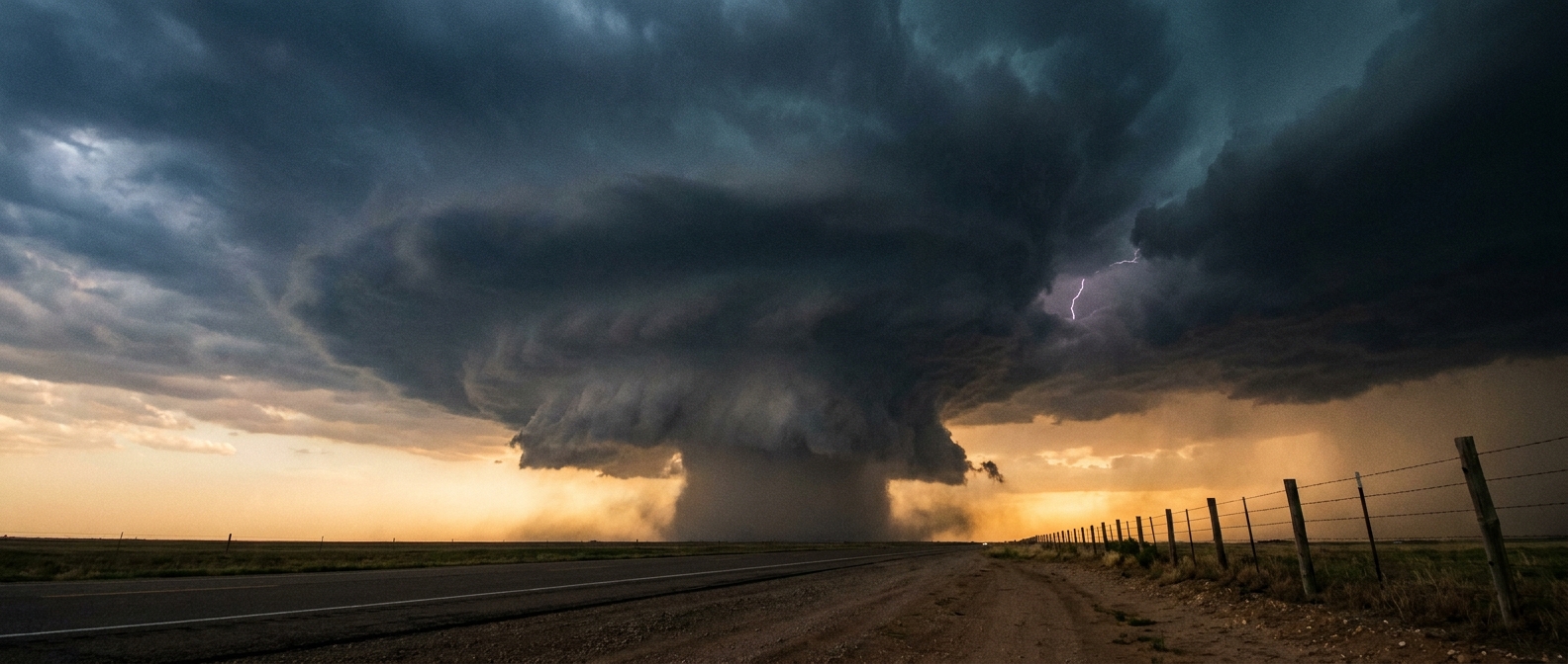
For Saturday, the Storm Prediction Center has outlined an Enhanced Risk for severe thunderstorms across north-central and eastern Oklahoma, southeast Kansas, and western Arkansas. That includes Tulsa, Broken Arrow, Edmond, and Fort Smith.
If you are driving a pristine show car anywhere near that Enhanced zone, you need a concrete plan for covered parking. The primary threat with these surface-based supercells is very large hail. The data shows a 30 percent probability of severe hail within 25 miles of a point in that region. We are talking about ice chunks easily large enough to shatter windshields and dent hoods.
There is also a 5 percent probability for tornadoes and a 15 to 30 percent probability for damaging wind gusts in that same corridor.
What About Dallas and Fort Worth?
If you are heading to FuelFest in Fort Worth, you are sitting in the Marginal Risk zone. The severe threat is much lower here compared to Oklahoma.
The cap, which is a layer of warm air aloft that suppresses storm growth, is stronger the further south you go. However, a stray storm could pop along the boundary by late afternoon. If one does break the cap near DFW, it will have plenty of energy to produce hail. Keep the radar handy and know where the nearest parking garage is located.
Dry Wind in the West
While the eastern half of the Southern Plains deals with moisture and storms, the western half is bone dry.
That deepening surface low in Texas is kicking up dry southwesterly winds across New Mexico and the Texas Panhandle. We are seeing elevated fire weather conditions out there. Wind gusts will hit 20 mph while the relative humidity drops to between 10 and 15 percent. Any spark in that dry brush will spread rapidly.
A Quick Look at Space Weather
Get this. While we are tracking storms down here, the sun is throwing an absolute fit up there.
Solar activity reached high levels today. A highly active sunspot region fired off multiple flares, including two massive X-class flares. The largest was an X2.5 flare this morning.
These flares launched a Coronal Mass Ejection right into space, and we are expecting G1 to G2 geomagnetic storming to follow. That can cause minor disruptions to high-frequency radio communications and satellite navigation. It is a great reminder that our weather is not just dictated by what happens in the troposphere.
https://ryanhallyall.com/blog/fuelfest-fresh-paint-and-a-texas-sized-hail-threat