Blog Article
Texas Severe Weather Threat & California Heat Wave Today
A Level 3 severe weather risk targets Texas today with large hail and damaging winds. Plus, tracking California triple-digit heat and Northern Plains fire risks.
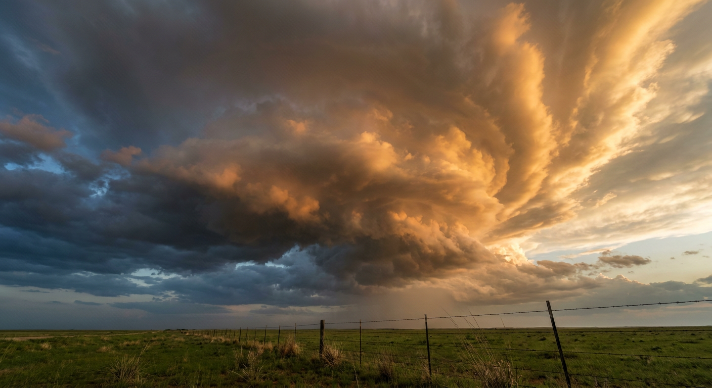
Happy Mother's Day, y'all. We laid out the North Texas severe setup yesterday. The forecast has not flinched. The Storm Prediction Center is holding firm with an Enhanced Risk for severe thunderstorms across parts of North and Central Texas today. That is a Level 3 out of 5 risk, and it covers over eight million people from the DFW metroplex down toward Waco and Austin.
Here is the thing. We have a cold front dropping south out of the Plains. Ahead of it, the air is incredibly unstable and loaded with moisture. When that front hits the warm sector this afternoon, storms are going to fire fast.
The Texas Threat Timeline
The main hazards today are large hail and damaging wind gusts. The data shows a 30 percent chance of severe hail and winds within 25 miles of any spot in the Enhanced Risk area. We are looking at a hatched risk for both. That means the ceiling on these storms is high. Wind gusts could top 75 mph. Hailstones could reach two inches in diameter. That is hen-egg size, and it will absolutely dent a car or bust a windshield.
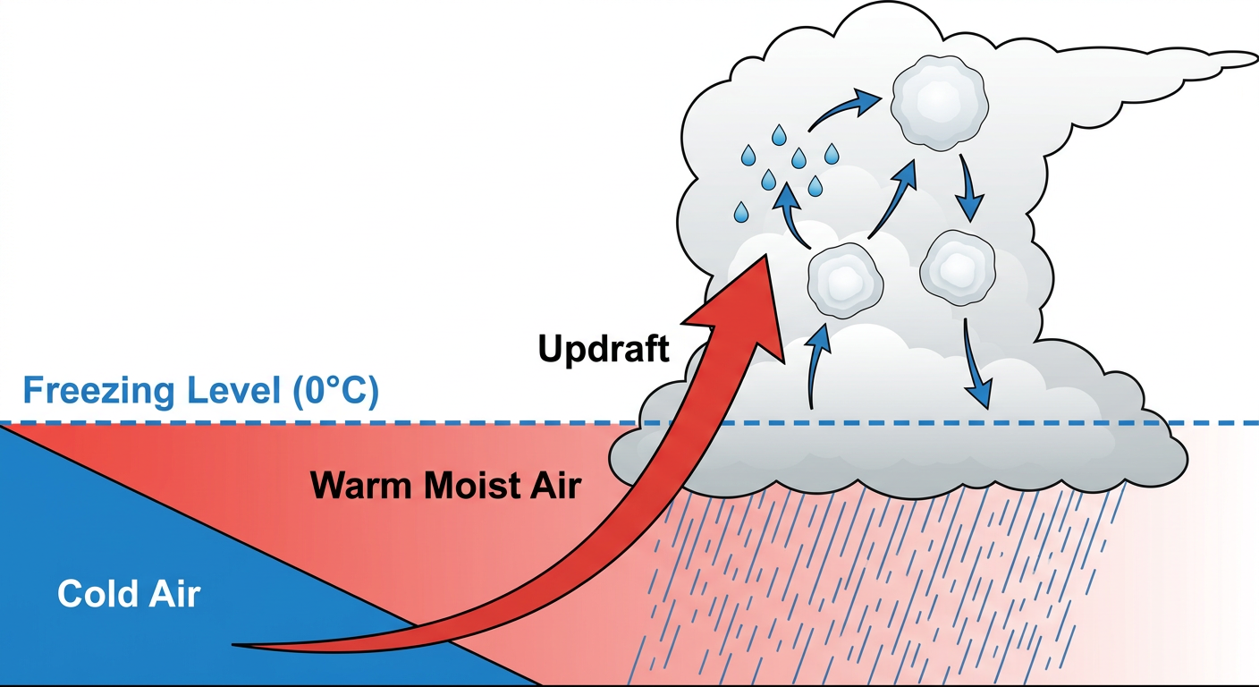
We also have a Slight Risk for excessive rainfall in the same area. The ground is going to get a lot of water in a short amount of time. Localized flash flooding is a real concern, especially in urban areas with poor drainage.
If you are taking Mom to the Cubs-Rangers game in Arlington today, the stadium roof will keep you dry. But walking to your car after the game could be a different story. Have your weather radio app running and pay attention to the sky before you leave the building.
California Heat Wave
Out west, an early-season heat event is building. The San Joaquin Valley is looking at triple-digit temperatures today. For some context, Los Angeles usually tops out around 74 degrees this time of year. The interior valleys are going to blow right past that.
The thermal belt setup means overnight cooling will be poor. Your house will not get much of a break from the heat after the sun goes down. Keep the AC running, close your blinds during the day, and check on older neighbors who might not have good ventilation.
Critical Fire Weather Up North
The pattern is completely different in the Northern Plains. The SPC has designated a Critical Fire Weather area for eastern Montana and west-central North Dakota.
A lee trough is moving through the region during peak daytime heating. It is bringing 20 to 25 mph sustained winds and dropping relative humidity down to 20 percent. The vegetation up there is dry. If a spark starts, that wind will push the flames out of control in a matter of minutes.
Bottom Line
If you live in the I-35 corridor in Texas, move your vehicles into the garage this morning. Have a way to get warnings that will wake you up from a Sunday nap. If you are in the San Joaquin Valley, hydrate and limit your outdoor chores. If you are in Montana or North Dakota, absolutely no outdoor burning today.
https://ryanhallyall.com/blog/game-day-in-texas-tracking-the-mothers-day-severe-threat