Blog Article
Severe Weather Threat in Dakotas & Strong Solar Storm
An Enhanced Risk for severe weather threatens the Northern Plains with EF2 tornadoes and giant hail on Tuesday, plus a G3 solar storm impacts Earth today.
Giant Hail, EF2 Tornado Potential in the Dakotas, and a Strong Solar Storm
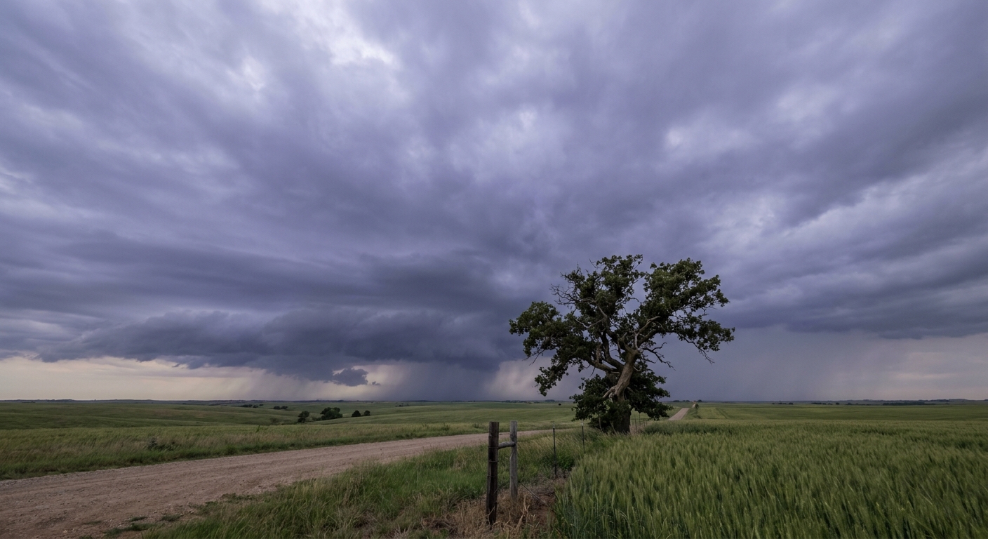
Y'all, yesterday was a rough one. We saw a half-mile-wide tornado in Springfield, Missouri, and life-threatening flash flooding down in northern Alabama where up to 9 inches of rain fell. Up north, North Dakota clocked wind gusts near 100 mph. The atmosphere is just incredibly volatile right now. And get this, the pattern is not letting up. We have a very serious severe weather setup taking shape for Tuesday in the Northern Plains, plus a strong geomagnetic storm hitting the Earth today.
Tuesday's Northern Plains Threat
The Storm Prediction Center has already hoisted an Enhanced Risk (Level 3 out of 5) for Tuesday across central and eastern North Dakota, northern South Dakota, and northwest Minnesota. This includes Fargo, Bismarck, and Grand Forks.
The setup here is potent. A strong upper-level trough is swinging out of the Rockies. Normal high temperatures for Minneapolis and the Dakotas are usually in the upper 70s this time of year. But tomorrow, we are pulling up a lot of warm, unstable air to fuel these storms. When that upper-level energy hits the moisture pooling over the Plains, things are going to explode.
Here are the specific threats we are watching for Tuesday:
- Widespread Severe Hail: The data shows a 45 percent probability for severe hail, and it is hatched. That means we are looking at the potential for hailstones over 2 inches in diameter. That is hen-egg size or larger.
- Strong Tornadoes: We also have a 10 percent hatched risk for tornadoes. If storms form in that hatched area, any tornadoes that develop could reach EF2 intensity or stronger.
- Damaging Winds: There is a 30 percent hatched risk for wind gusts exceeding 75 mph as these storms likely merge into a line overnight.
This synoptic pattern actually mirrors the historic June 2010 tornado outbreak in North Dakota. Have your weather radios loud and ready with fresh batteries.
Southern Flooding and Bonnaroo Prep
Down south, the water just keeps coming. After yesterday's Flash Flood Emergency in Alabama, the ground is completely saturated. Today and Tuesday, the Weather Prediction Center has a Slight Risk for excessive rainfall covering parts of the Mid-Mississippi Valley, the Ozarks, and stretching into western Kentucky and Tennessee.
If you are heading down to Manchester, Tennessee, for the Bonnaroo Music and Arts Festival later this week, you need to prepare for mud. The festival kicks off Thursday, but the setup days are going to be wet. A slow-moving system is tapping into moisture-rich air, and these training thunderstorms will just dump water over the same areas. Normal highs around Nashville are in the upper 80s for early June. Combine that heat with dewpoints near 70, and it is going to feel like a sauna between the downpours. Keep your camp setups on high ground.
Look Up: Strong Solar Storm Today
Here is something a little different. The Space Weather Prediction Center has issued a G3 (Strong) Geomagnetic Storm alert for today. A Coronal Mass Ejection, basically a massive burst of solar wind, left the sun on June 6 and is arriving right now.
What does that mean for you? If you live in the northern tier of the US and the skies clear out tonight, you might catch the Northern Lights. It also means we could see some minor disruptions to GPS navigation and high-frequency radio signals. Nothing to panic over, just a heads-up if your maps app acts a little glitchy on your commute.
Quick Tropics Check
Looking at the Eastern Pacific, Tropical Storm Boris formed just off the coast of Mexico. It is packing 40 mph winds, but the main hazard is flooding rains for the Mexican coast. We are also watching a disturbance, EP92, offshore of Central America that has a 90 percent chance of developing into a tropical depression in the next two days. There is nothing threatening the US coast right now, but the tropics are definitely waking up.
Bottom Line
If you live in the Dakotas or northwest Minnesota, Tuesday is a "have your plan ready" kind of day. Clean out the garage so you can park your cars inside away from that giant hail, and know exactly where your safe room is. For folks in the Tennessee and Ohio Valleys, the ground cannot take much more water. Turn around if you see water over the road.