Blog Article
Midwest Severe Storms Today & Plains Tornado Risk Wednesday
Track today's severe storms and flash flood risk in the Great Lakes, plus a breakdown of Wednesday's dryline setup bringing tornado threats to the Plains.
Great Lakes Storms Today, Plains Dryline Setup Tomorrow
Alright folks, that messy system we were tracking yesterday is officially knocking on the door for the Great Lakes today. If you are up in Detroit, Cleveland, or Buffalo, keep the rain gear handy and your radar app open this afternoon. But get this, we already have our eyes on the next big setup, and it is taking aim right at the Southern and Central Plains for Wednesday.
Round One: The Great Lakes and Ohio Valley
We have a Slight Risk of severe weather posted today from Chicago stretching east through Detroit and into western New York. The main threats are going to be isolated large hail and damaging wind gusts up to 60 mph. There is also a 2 percent tornado risk, so you cannot completely let your guard down.
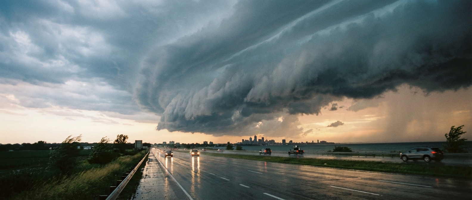
On top of the wind and hail, the Weather Prediction Center has a Slight Risk for excessive rainfall over southeast Michigan and western New York. That means localized flash flooding is a real possibility. Watch out if a heavy storm parks itself over the I-90 corridor right around the evening commute. The Cleveland Guardians might be enjoying perfect weather out in Los Angeles tonight, but back home in Ohio, it is a 'have your plan ready' kind of evening.
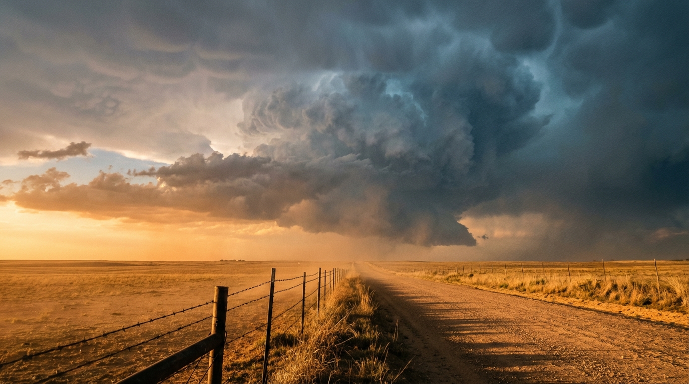
Round Two: The Plains Dryline Fires Up
Here is the setup for Wednesday. A strong upper-level wave is going to eject out of the Southwest, and it is going to pull a lot of Gulf moisture right up into the Plains. The Storm Prediction Center has already outlined a Slight Risk from northwest Texas up through central Oklahoma, eastern Kansas, and western Missouri.
Normal high temperatures for late March in places like Kansas City and Oklahoma City are usually in the 50s and 60s. Tomorrow, we are pulling up a lot of warm, juicy air that will push temperatures well above normal and fuel these storms.
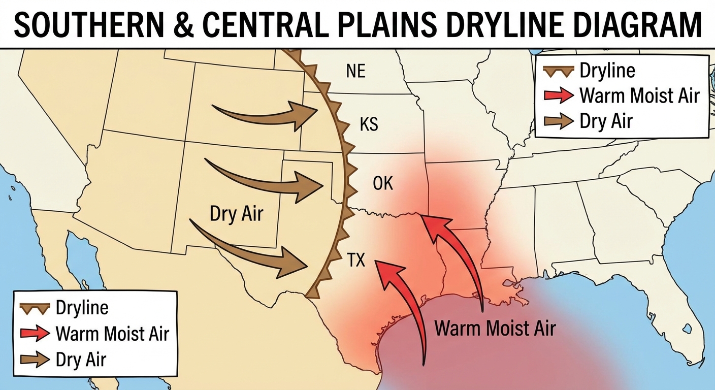
Tomorrow afternoon, a dryline is going to set up shop somewhere near the I-35 corridor. When storms initiate along that boundary, they are going to be discrete supercells. That means they will have the room and the energy to drop very large hail, over two inches in diameter, and produce a few tornadoes. The tornado probability is sitting at 5 percent right now for places like Oklahoma City, Tulsa, and Wichita.
As the sun goes down, those individual storms are expected to merge into a large line and sweep eastward. When that happens, the main threat transitions from tornadoes and giant hail to widespread damaging straight-line winds.
We are also watching a flash flood threat for eastern Kansas up into southeast Iowa for Wednesday night. The ground is going to get a quick soaking, so watch out for water ponding on those rural county roads.
What We Are Watching Closely
- The exact placement of the dryline Wednesday afternoon in Oklahoma and Kansas.
- Flash flood potential today in the Great Lakes and tomorrow in the Middle Mississippi Valley.
- The transition from supercells to a wind-driven squall line Wednesday night.
Bottom Line
If you are in the Great Lakes today, treat the afternoon commute with extra caution and watch out for ponding water. If you live in the Plains from Texas up to Missouri, Wednesday is your day to be weather-aware. Check your safe room, make sure your weather radio has fresh batteries, and have a way to get warnings that will actually wake you up Wednesday night.
https://ryanhallyall.com/blog/great-lakes-storms-today-plains-dryline-setup-tomorrow