Blog Article
Halloween Aurora Chance, Desert Flood Risk This Weekend
A minor geomagnetic storm could bring faint aurora to the northern US tonight, while a moderate flash flood risk builds over the Four Corners region this weekend.
Green Skies and Flash Floods: The Weather Behind Your Halloween Night
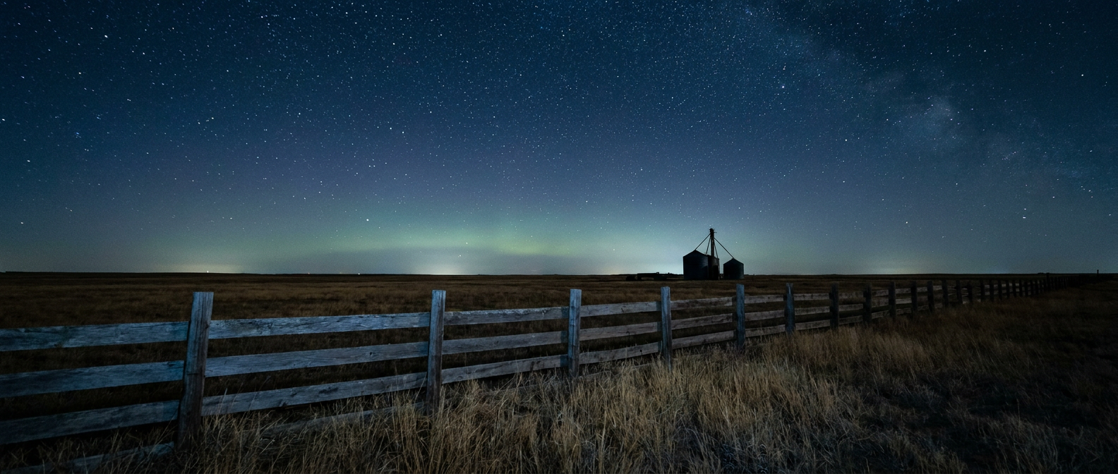
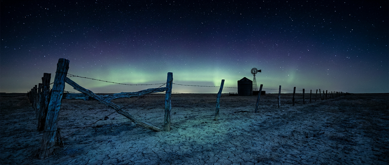
Alright y'all, here's something fun before we get to the serious stuff. NOAA's Space Weather Prediction Center says a coronal hole high-speed stream is nudging the geomagnetic field up to G1, minor storm level, tonight into Saturday. Kp index is forecast to touch 5. That's the kind of nudge that can push the aurora borealis down into the far northern US on a clear night. If you're carving pumpkins in Minnesota, the Dakotas, or northern Michigan tonight and the sky's clear, it's worth a glance north after the trick-or-treaters go to bed. Confidence on visibility is low to medium, and this is a minor storm, not some generational event, so don't drive three hours for it. But on a night already built for spooky atmosphere, a faint green glow on the horizon fits the theme.
That little space-weather footnote also explains why "polar vortex forecast" is trending in search right now. Folks hear "geomagnetic storm" and "El Nino winter talk" in the same week and start wondering what's coming. Those two things, the sun's activity and the stratospheric polar vortex, are different animals. One's happening tonight 60 miles up. The other is a winter pattern story we'll have much more to say about as we get deeper into November. Hang tight on that one.
The Real Story Is Brewing Over the Desert
While the sky show tonight is subtle, there's nothing subtle about what's lining up for the Southwest this weekend. WPC has a Moderate risk of excessive rainfall posted for Sunday across central Arizona, the Mogollon Rim, the San Juan Mountains, and southern Utah. That's their second-highest tier, and it doesn't get used lightly.
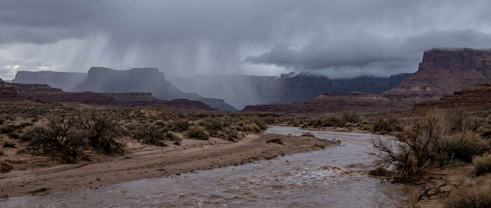
Here's the setup in plain terms. An atmospheric river, basically a long, narrow conveyor belt of deep tropical moisture, is aiming straight at the Four Corners. Precipitable water values, which is just a measure of how much moisture is stacked in the air column above you, are forecast to run roughly four to six standard deviations above normal for this time of year. That's an exceptional moisture load for late October. When air that saturated runs into rising terrain like the Mogollon Rim or the San Juans, you get widespread totals of 2 to 4 inches, with higher amounts possible where the terrain really wrings it out.
Phoenix normally sits around 89 degrees for a high and 65 for a low this time of year. Under this kind of cloud cover and rain, expect readings to run well below that typical crisp, dry desert autumn feel. The bigger concern isn't the temperature drop though, it's where all that water goes once it hits saturated ground, burn scars, washes, and slot canyons.
And we've already seen a preview. Last night, slow-moving storms dumped over 2 inches of rain on Maricopa County, and Sonoran Wash north of Deer Valley crested at 6.00 feet, nearly double its 3.5-foot bankfull stage. Fire crews pulled off water rescues in Scottsdale and Paradise Valley. Across the state line, 1.0 to 1.75 inches of radar-estimated rain hit the Las Vegas metro, with hail up to 1.5 inches and flooded roads near Henderson and Overton. Sunday's atmospheric river is landing on ground that's already saturated from that round. That's the kind of setup that turns moderate rain totals into serious runoff problems fast.
There's a secondary threat riding along with it too. SPC has a Marginal severe risk Sunday stretching from southern Arizona across New Mexico into the western Texas Panhandle, covering Phoenix, Albuquerque, Tucson, Amarillo, and Santa Fe, with isolated damaging gusts and a couple of tornadoes possible. Monday, that severe threat shifts into the southern Plains, with a Slight risk now posted from central/eastern Kansas across Oklahoma into north Texas, putting Dallas, Fort Worth, Oklahoma City, and Tulsa in the window for scattered severe storms Monday evening.
What This Means If You've Got Weekend Plans
If you're in Denver for Ghosts in the Gardens tonight, you should catch a dry, cool Halloween evening. The broader storm system driving this atmospheric river is still organizing well to the southwest, and Colorado's Front Range sits outside the Moderate rainfall zone for now, though that changes as the week progresses and a central Rockies system digs in by midweek.
Folks heading to Haunted Fest in Newport, Kentucky tonight should be fine too. The nicest outdoor air in the country right now actually stretches from the Texas and Oklahoma Panhandles into the Great Lakes, and Kentucky sits on the edge of that favorable wedge.
If your plans take you through central Arizona, southern Utah, or the Four Corners this weekend, that's the one to watch closely. Flash flooding in canyon country doesn't always look dramatic from where you're standing until the water's already moving. If you're near a wash, a slot canyon, or a burn scar out there, keep half an eye on the radar and don't cross moving water, full stop.
The Takeaway
Tonight's weather gives you a little atmospheric theater if you're under clear northern skies, courtesy of the sun, not the season. But the pattern that actually matters this weekend is sitting over the Desert Southwest, where a moisture-loaded storm is about to drop multiple inches of rain on ground that's already full from last night's flooding. One of those stories is a bonus. The other one is the forecast you need to plan around.
https://ryanhallyall.com/blog/green-skies-and-flash-floods-the-weather-behind-your-halloween-night