Blog Article
Washington Coast Wind Risk Tonight: Gusts to 60 mph
A Level 1 of 5 wind risk covers about 9,000 people near Forks, WA late tonight, with isolated gusts over 60 mph possible as a Pacific cold front arrives.
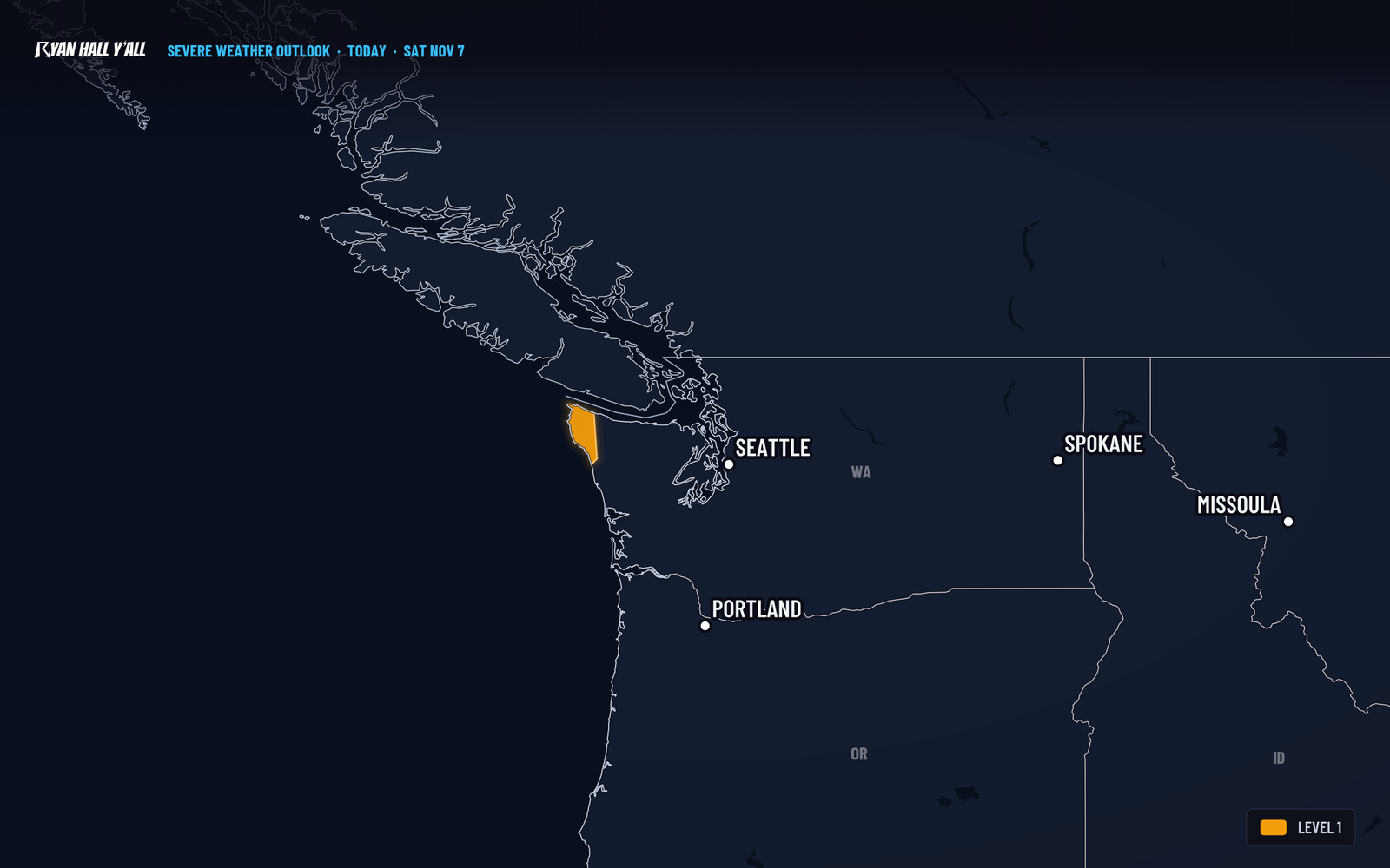
Gusts over 60 mph possible near Forks, WA late tonight
A Pacific storm brings a Level 1 of 5 (Marginal Risk) wind threat to the northwest Washington coast late this evening into the overnight hours. About 9,000 people live in the zone, including Forks, and isolated gusts over 60 mph are possible. It is the only severe weather risk on the national map today.
What to know
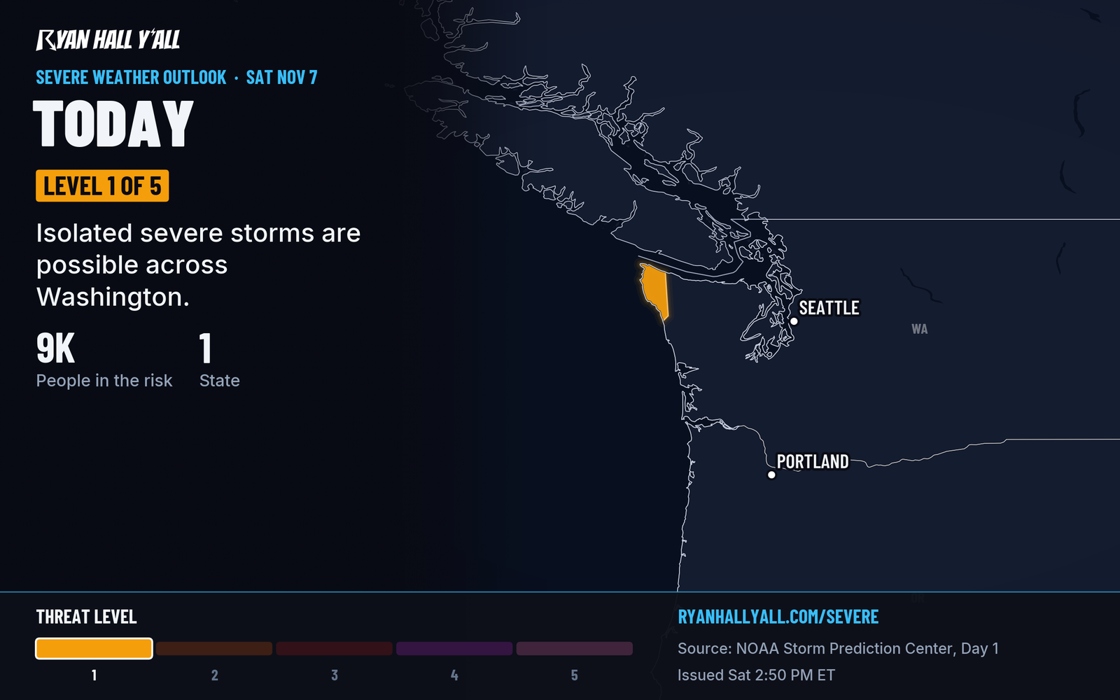
- The setup: A strong cold front reaches the coast late this evening. A frontal rain band could pull fast winds from higher up down to the ground.
- The odds: This is a 5% damaging-wind area, with isolated damaging gusts possible.
- After the front: Low-topped convection could develop behind it, with isolated lightning possible.
- Already in effect: A High Wind Warning runs until 11 PM Pacific for the south Washington coast and the Clatsop and Tillamook County coasts of Oregon, with gusts up to 60 mph.
If you live along the coast, bring in loose patio items and charge your phone and flashlights before bed. Skip parking under big trees. Plan on slower driving on coastal highways overnight.
The front is expected to arrive late this evening or early tonight. Whether any spot actually reaches 60 mph is less certain because the rain band itself is only a possibility.
Check the live severe outlook and active warnings for updates, and sign up for Y'all Alerts if you want a heads-up on your phone.
https://ryanhallyall.com/blog/gusts-over-60-mph-possible-near-forks-wa-late-tonight