Blog Article
Washington Coast Wind Risk Tonight: 60+ mph Near Forks
A Level 1 of 5 severe risk covers the Washington coast tonight, with isolated 60+ mph gusts possible near Forks as a cold front moves in late this evening.
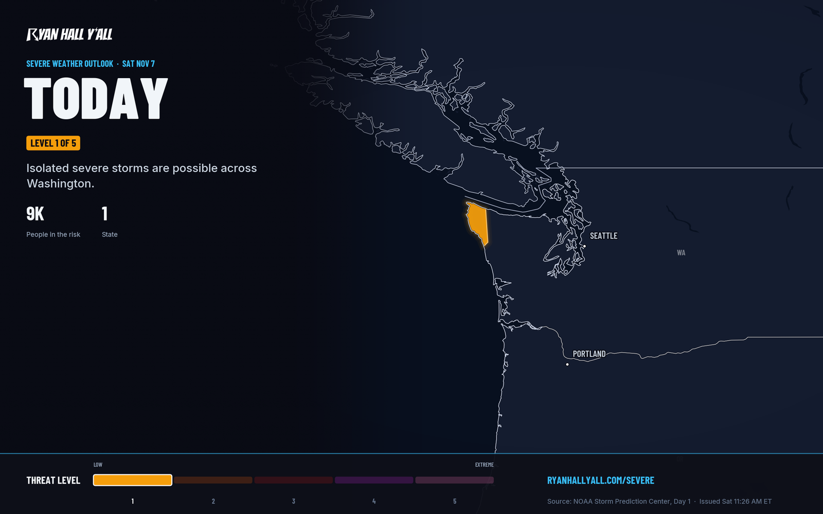
Gusty storms possible on the Washington coast tonight, 60+ mph near Forks
A Level 1 of 5 (Marginal Risk) for severe weather covers the northwest Washington coast tonight, and it is the only severe risk anywhere in the country today. A cold front is due to reach the coast late this evening Pacific time, and isolated gusts of 60 mph or more are possible near Forks. About 9,000 people live inside the zone.
What to know
- Timing: Late this evening into the overnight hours, as the front comes ashore. A frontal rain band could pull strong winds down to the ground. Some isolated lightning is possible behind it.
- Where: The immediate northwest coast around Forks. Inland Seattle and Portland are outside the risk area.
- What it means: Gusts that strong can snap tree limbs. Bring in or tie down loose patio items before dark, and don't park under big trees tonight.
- How sure are we: The front is on its way. Whether any one spot gets a 60 mph gust is the uncertain part, which is why this is only a Level 1. No tornado or hail risk is outlined anywhere today.
You can follow any warnings as they go up on our live warnings page, and the latest outlook is always on the severe weather page.