Blog Article
Sturgis Riders Face Marginal Storm Risk This Week
As Sturgis riders roll into the Black Hills, SPC flags a marginal severe risk for SD and NE. Here's what that means for bikers and a KC Royals game tonight.
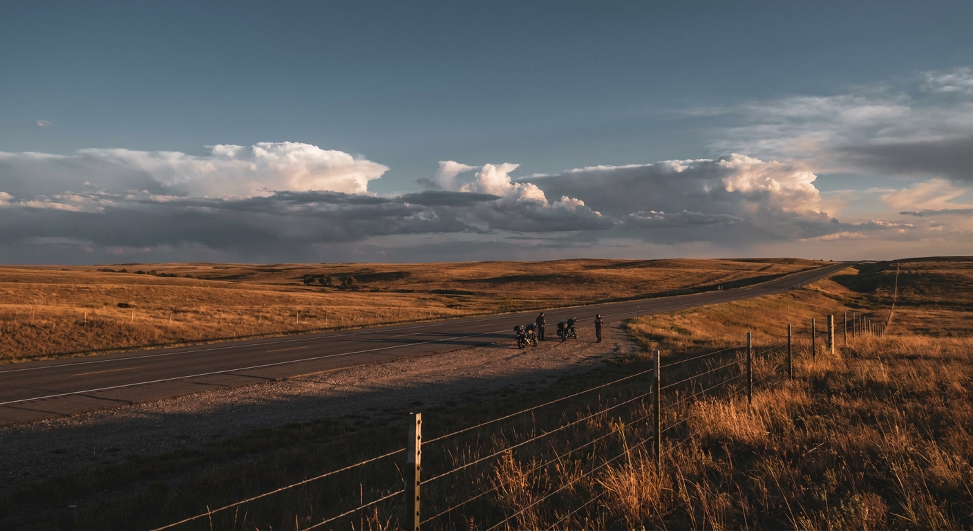
Half a Million Bikers, One Marginal Risk: Sturgis Meets the Storm Prediction Center
Alright folks, let's talk about something half a million people are already loading their saddlebags for. The Sturgis Motorcycle Rally kicks off in the Black Hills on August 7, and this year it's rolling in right alongside a piece of real meteorology worth knowing before you throw a leg over that bike.
The setup: a low-amplitude system with your name on it
SPC's Day 2 Convective Outlook, valid Thursday into Friday, puts a Marginal Risk of severe thunderstorms across northwest Nebraska into south-central South Dakota. That's the exact corridor a lot of riders funnel through on the way into Sturgis. Marginal is the lowest rung on SPC's five-level ladder, so we're not talking about a tornado outbreak. We're talking isolated strong to severe storms, gusty winds, maybe some hail, nothing widespread or well organized.
Here's why that still matters if you're on two wheels instead of four. A car shrugs off a 50 mph gust. A loaded touring bike does not. Isolated storms tend to pop fast on radar, produce a burst of wind or hail, and move on. If you're riding I-90 through that stretch of South Dakota on Thursday or Friday, the smart move is simple: check the radar before you saddle up, and if you see a cell building, pull off and wait it out under a gas station awning rather than punching through it at highway speed.
Smoke on the horizon, too
Riders coming in from the west through Wyoming, Montana, or Colorado should know that the SPC fire weather outlook has expanded an Elevated fire weather area across those same states for Thursday. It's not a rally-stopping event, but dry fuels and gusty winds mean visibility and air quality could take a hit on some approach routes. Nothing dramatic, just something to plan around if you're doing a long haul into the Black Hills this week.
Kansas City's got skin in this game tonight, too
Here's the fun coincidence. While Sturgis riders watch the skies over South Dakota, the Minnesota Twins are in Kansas City tonight to face the Royals, and Kauffman Stadium sits smack in the middle of today's Day 1 Marginal severe risk zone, the same one that stretches from the central Plains into the mid-Mississippi Valley. WPC also has a Slight Risk of excessive rainfall painted over that same corridor tonight, meaning a pop-up storm could bring a heavy burst of rain along with any wind or hail.
It's the same broad pattern driving both stories: a low-amplitude shortwave trough sliding across the Plains, feeding off plenty of Gulf moisture. That trough won't produce anything close to what Virginia saw earlier this week, when personal weather stations in Victoria and Meadowville measured over 7 inches of rain in a matter of hours and flooded out dozens of roads in Norfolk, Richmond, and Hopewell. This week's Plains activity is a much smaller, more scattered cousin of that event, but it's a reminder the same kind of moisture-rich setup is still parked over the country.
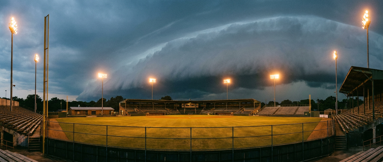
What this actually means for your plans
Neither of these risks should cancel anyone's weekend. A Marginal Risk means the atmosphere has just enough juice for an isolated strong storm, not a widespread severe weather day. But isolated still means somebody gets hit, and this week that somebody could be a rider on I-90 or a family in the Kauffman Stadium parking lot. The fix is the same in both cases: know the marginal risk exists, keep an eye on the sky or your radar app, and give yourself an out if a cell fires up nearby.
The takeaway
Whether you're gripping handlebars heading into the Black Hills or gripping a ballpark hot dog in Kansas City, this week's weather story is about small, scattered risk spread over a big footprint. It won't make headlines like Virginia's flooding did. But a little awareness goes a long way when the forecast says marginal, not none.