Blog Article
Sturgis Rally Weather: Hail Risk Meets Biker Season
As Sturgis riders roll into South Dakota, SPC flags a hail and wind corridor over the same region. Plus, how Philly baseball goes on amid flood recovery.
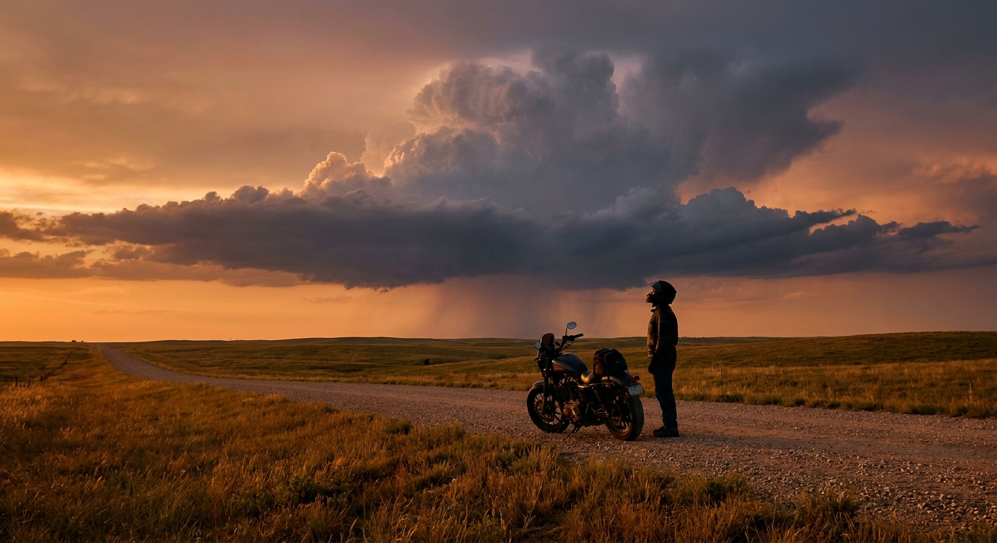
Half a Million Bikes, One Hail Corridor: Sturgis Meets the Storm Setup
Alright folks, let's talk about timing. The Sturgis Motorcycle Rally kicks off tomorrow, and if you've never seen it, picture something like 500,000 riders funneling into a South Dakota town of about 7,000 people. Leather vests, cross-country routes, campgrounds packed shoulder to shoulder. It's one of the biggest gatherings in the country, and it happens every August rain or shine.
This year it might be a little more rain than shine.
Why Saturday's Sky Bears Watching
The Storm Prediction Center's Day 2 and Day 3 outlooks put a Marginal risk of severe thunderstorms right over the corridor from south-central South Dakota into north-central Nebraska, and it stretches into Iowa and northern Missouri by Saturday afternoon. The Day 2 discussion specifically calls out an elevated overnight hail threat over that same stretch of South Dakota into Nebraska, with steep mid-level lapse rates in play, that's meteorologist-speak for air that cools fast with height, which is exactly the kind of setup that lets hailstones grow big before they fall.
By Saturday, SPC expects a corridor of damaging wind gusts to develop across that same region during the afternoon and evening hours.
None of this is a high-end severe weather day. Marginal is the lowest category SPC issues, and most of the rally footprint will likely stay dry and storm-free. But if you're on two wheels with no roof over your head, a Marginal risk still means isolated hail and gusty wind are possible, and that's a very different conversation than it is for someone watching from a porch.
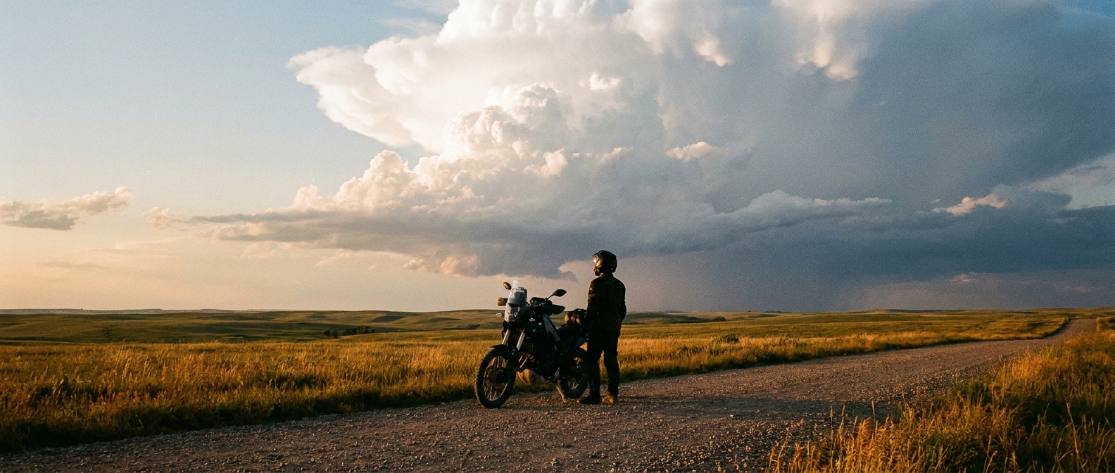
The Heat Problem Riders Don't Always See Coming
Hail and wind aren't the only issue. Dangerous heat is holding on across the Southwest, the Intermountain West, the Rockies, and the central and southern Plains, with numerous daily record highs still possible this week. That matters for Sturgis too, because plenty of riders get there by crossing the Plains first. Down in Oklahoma and Tulsa, the average August high is already 93°F. Add full leather gear, a running engine between your legs, and hours of highway time, and heat stress becomes the quieter, more common risk compared to the storms.
Meanwhile, SPC's fire weather desk keeps an elevated risk flagged over the Northern Rockies and the high plains next door, where dry westerly winds and single-digit afternoon humidity are stressing an already parched fuel bed. If you're routing through that country on the way to the rally, it's worth checking Red Flag Warning status before you roll.
What to watch if you're headed to Sturgis this weekend:
- Friday night into Saturday morning: hail potential over south-central SD into NE
- Saturday afternoon/evening: a wind corridor tracking SD/NE into IA and northern MO
- Daytime highs well above normal along Plains approach routes, dress and hydrate accordingly
- Check local Red Flag Warning status if routing through the Northern Rockies
Down in Philly, Life Goes On Around the Floodwater
While all that's setting up out west, the Mid-Atlantic is still wringing itself out. Overnight, the PA Turnpike flooded badly enough in Upper Dublin and Whitemarsh Townships that water rescues were underway for stranded drivers. That's on top of a week that's already dumped over 7 inches of rain on parts of central Virginia and sent flash flood warnings through Philadelphia, Baltimore, and half of New Jersey.
And yet tonight, the Nationals and Phillies play ball like nothing happened. That's not meteorologists being careless, it's just how the risk works. WPC's excessive rainfall outlook keeps a Marginal risk in place over the Mid-Atlantic and Northeast through the weekend, which means additional storms are possible, but it's not the kind of setup that automatically shuts a ballpark down. The bigger concern for forecasters right now isn't tonight's game, it's what a fresh round of storms does to ground that's already saturated from a week of repeat flooding. Soil that's full has nowhere to put new rain except back onto the roads, the same roads that were underwater twelve hours ago.

The Takeaway
Two very different crowds, one active weather week. Half a million bikers rolling into a Marginal risk corridor on the Northern Plains, and a flood-weary Mid-Atlantic still playing ball between rounds of rain. Neither situation calls for canceling plans. Both call for checking the sky before you commit to being outside for the next twelve hours, whether that's on a highway with no windshield or walking to your seat behind home plate.
https://ryanhallyall.com/blog/half-a-million-bikes-one-hail-corridor-sturgis-meets-the-storm-setup