Blog Article
Halloween Weekend Weather: Vance's Rain Hits TX, Then AZ
Tropical Depression Vance's remnant moisture soaks Texas tonight before shifting into Arizona for the weekend, while Halloween night looks calm across the Southeast.
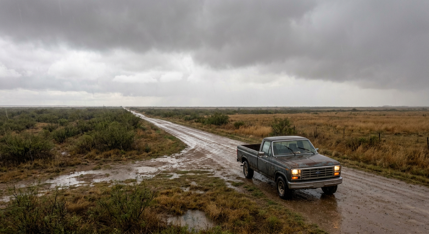
Halloween Weekend's Real Trick: A Tropical Depression's Remnant Rain Crashes Texas Before Moving West
Alright folks, here's the thing about Halloween weekend 2026. Everybody's worried about costumes and candy logistics, but the real story is a weakening tropical system nobody in Texas has been talking about at the water cooler: Tropical Depression Vance.
Vance never made landfall. It's sitting offshore Mexico's Baja Peninsula with 35 mph winds, basically running out of gas over cooler water and hostile upper-level wind shear. But a dying tropical system doesn't mean a quiet one. Its moisture is the story now, and that moisture has already crossed into Texas.
Tonight's Show Has a Soggy Opening Act
Get this. Fort Worth's got the Garden Brothers Circus rolling through town tonight, and over in Dallas, folks are headed out for Plim Plim. Both are outdoor-adjacent events with parking lots full of families walking from their cars. Not exactly the night you want a heavy rain plume parked overhead.
The Weather Prediction Center has a Slight Risk of excessive rainfall painted across west and central Texas and southeastern New Mexico through Friday morning. That's the second-tier flood risk category, and it's tied directly to a mid-level disturbance that split off from Vance and is now riding into the region on southeasterly low-level flow. Confidence is high on a heavy rain event this afternoon through tonight. If you're out at either show, don't be shocked by a downpour between acts.
This isn't coming out of nowhere either. West Texas and southeastern New Mexico have had a rough month. Earlier in October a levee breach near Bernardo, New Mexico, forced nine water rescues and 31 home evacuations, and a flood-related fatality was confirmed in Socorro County. The ground out there has had more water than it usually knows what to do with in a normal October.
The Baton Passes to Arizona
By Friday, the heavy rain threat follows Vance's moisture plume west into Arizona. SPC has a Marginal Risk of severe thunderstorms stretched across southern and central Arizona, Phoenix and Tucson included, with isolated 60 mph wind gusts and hail up to an inch possible if storms organize. WPC backs that up with a Slight Risk of excessive rainfall in the same footprint, and that risk actually holds through Saturday as a southern stream jet near Baja keeps feeding divergence into the region.
The real concern in Arizona isn't the rain total by itself. It's where that rain falls. Washes, arroyos, slot canyons, and burn scars turn modest rainfall into fast, dangerous runoff. Phoenix sits at an average high of 89°F this time of year, so the air mass can still load up with plenty of moisture before storms fire in the afternoon heat.
Meanwhile, Halloween Night Itself Looks Pretty Good
Here's some good news if you've got trick-or-treaters. The nice weather outlook for Saturday, October 31, shows a FAIR tier settling across the Mid-Atlantic, Southeast, and southern Plains. We're talking highs near 61 to 62°F, dewpoints in the mid-40s, and only a 5% chance of rain. That's genuinely comfortable costume weather for a big stretch of the country, even if thick cloud cover keeps it from climbing any higher on the scorecard.
The northern Plains, Midwest, Texas Gulf Coast, and Southwest land in the DECENT tier instead, with heavier cloud cover and a bit more shower chance mixed in. Not bad, just not quite as clean.
One More Weird Wrinkle: Lights in the Sky
If you're the kind of person who likes your Halloween a little extra spooky, NOAA's Space Weather Prediction Center has a G1 Minor geomagnetic storm pegged for October 31, driven by a coronal hole high-speed stream reaching Earth. G1 storms are modest. They typically only push the aurora down into the far northern U.S. on a good night. But if you live up near the Canadian border and the sky's clear, it's worth a glance up after the trick-or-treaters go home.
What Actually Matters For Your Weekend
- Texas and southeastern New Mexico: heavy rain tonight into Friday morning. If you're at an outdoor event or parking lot in Fort Worth or Dallas, keep an eye on the sky and have a rain plan.
- Arizona: Friday into Saturday brings a marginal severe storm risk and a real flash flood concern, especially near washes, canyons, and burn scars around Phoenix, Tucson, and the Mogollon Rim.
- Halloween night itself: FAIR conditions and low rain chances across a wide swath of the Southeast, Mid-Atlantic, and southern Plains. Candy collecting should go smoothly there.
- Far north, clear-sky nights: a minor geomagnetic storm might add a little color to the horizon.
Vance is weakening, but its leftover moisture still has one more trick up its sleeve before it's done. Keep your rain jacket handy in Texas tonight, your eyes on the wash if you're in Arizona this weekend, and your camera ready up north just in case the sky decides to put on its own show.