Blog Article
Severe Weather Forecast: Central Plains Storms & Gulf Flooding
Get the latest Saturday weather forecast. We are tracking an Enhanced Risk for severe storms in the Central Plains and ongoing flooding along the Gulf Coast.

High Plains Supercells and Gulf Coast Flooding: A Busy Saturday
Alright folks, we have a busy Saturday ahead of us. We talked yesterday about all the World Cup tourists dealing with the Texas water hose. Well, that hose is still running today. But our main focus is shifting slightly north. We have a potent setup for severe weather across the Central Plains this afternoon and evening.
If you have outdoor plans, baseball games to catch, or travel on the agenda, you need to pay attention to the sky today.
The Central Plains Main Event
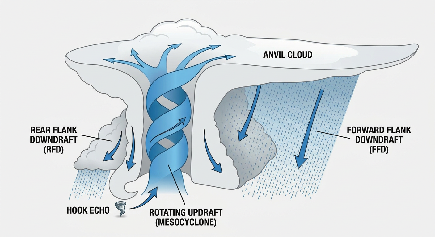
The Storm Prediction Center has outlined an Enhanced Risk for severe thunderstorms from eastern Colorado into western and central Kansas, stretching up into southern Nebraska. Cities like Burlington, Colorado, and Colby, Kansas, are right in the middle of this.
Here is the thing. We have a low-amplitude shortwave trough moving out of the Intermountain West. When that crashes into the moisture sitting over the Plains, things are going to get volatile.
The main threats today are large hail and damaging winds. The SPC has a 30 percent hatched area for both. That means if a severe storm forms, we could see wind gusts over 75 mph and hailstones reaching 2 inches or larger. That is hen-egg size, folks. That will dent your car and ruin a crop in a hurry.
We also have a 5 percent hatched risk for tornadoes in this area. That hatched designation is important. It means any tornadoes that do form have the potential to reach EF2 strength or higher. If you live in this zone, today is a 'have your safe room ready' kind of day.
The Gulf Coast is Still Soaking
Down south, the water just keeps coming. The Weather Prediction Center has kept a Moderate Risk for excessive rainfall in place for portions of the central Gulf Coast region today.
We saw historic rainfall totals earlier this week, with some spots in Louisiana picking up over 26 inches. The ground is completely saturated. It cannot act like a sponge anymore. It is acting like concrete. Any new rain is just going to run off and cause immediate flash flooding.
If you are traveling along the I-10 corridor today, be extremely careful. Do not drive through flooded roadways. It is never worth the risk.
Looking Ahead to Sunday
This system is not going to just disappear overnight. On Sunday, the severe threat shifts eastward. The SPC has a Slight Risk posted from the central High Plains into parts of the Mid-Mississippi Valley. This includes places like Oklahoma City, Tulsa, Wichita, and Springfield, Missouri.
The tornado threat remains, and we are still looking at the potential for 2-inch hail and scattered damaging winds.
On top of the severe threat, the heavy rain threat moves east too. The WPC has outlined a Moderate Risk for excessive rainfall across the Central Plains and Missouri Valley for Sunday. We could see a complex of storms drop a whole lot of water in a short amount of time.
Fire Weather Out West
While the middle and eastern parts of the country deal with water and storms, the West is dealing with the exact opposite.
We have a Critical Fire Weather area posted for portions of the Great Basin and the Four Corners region today. We are looking at sustained westerly winds over 15 mph and relative humidity dropping between 5 and 10 percent. To make matters worse, we have a threat of dry thunderstorms in the northeastern Great Basin. Lightning strikes on dry vegetation with gusty winds is a recipe for rapid wildfire spread.
A Quick Bright Spot
I do want to give a quick shoutout to the Upper Midwest. If you are running Grandma's Marathon up in Duluth today, you are in luck. A dry, stable airmass has settled over the region. It is going to be a beautiful day up there, with comfortable temperatures and clear skies.
The Bottom Line
If you are in the Central Plains today, you need a reliable way to get weather warnings that will wake you up or interrupt whatever you are doing. Have your safe space cleaned out and ready to go. If you are on the Gulf Coast, stay off flooded roads. And if you are out West, avoid any activities that could spark a flame.
Take care of yourselves and check in on your neighbors.
https://ryanhallyall.com/blog/high-plains-supercells-and-gulf-coast-flooding-a-busy-saturday