Blog Article
Omega Block and Miami Floods: Real Weather vs Hollywood
The movie 'Pressure' highlights forecasting drama, but the real challenge is a stubborn omega block over the Plains and Miami's flash flood threat.
Hollywood Drama vs. Real-Life Weather: The Omega Block Sticking Around
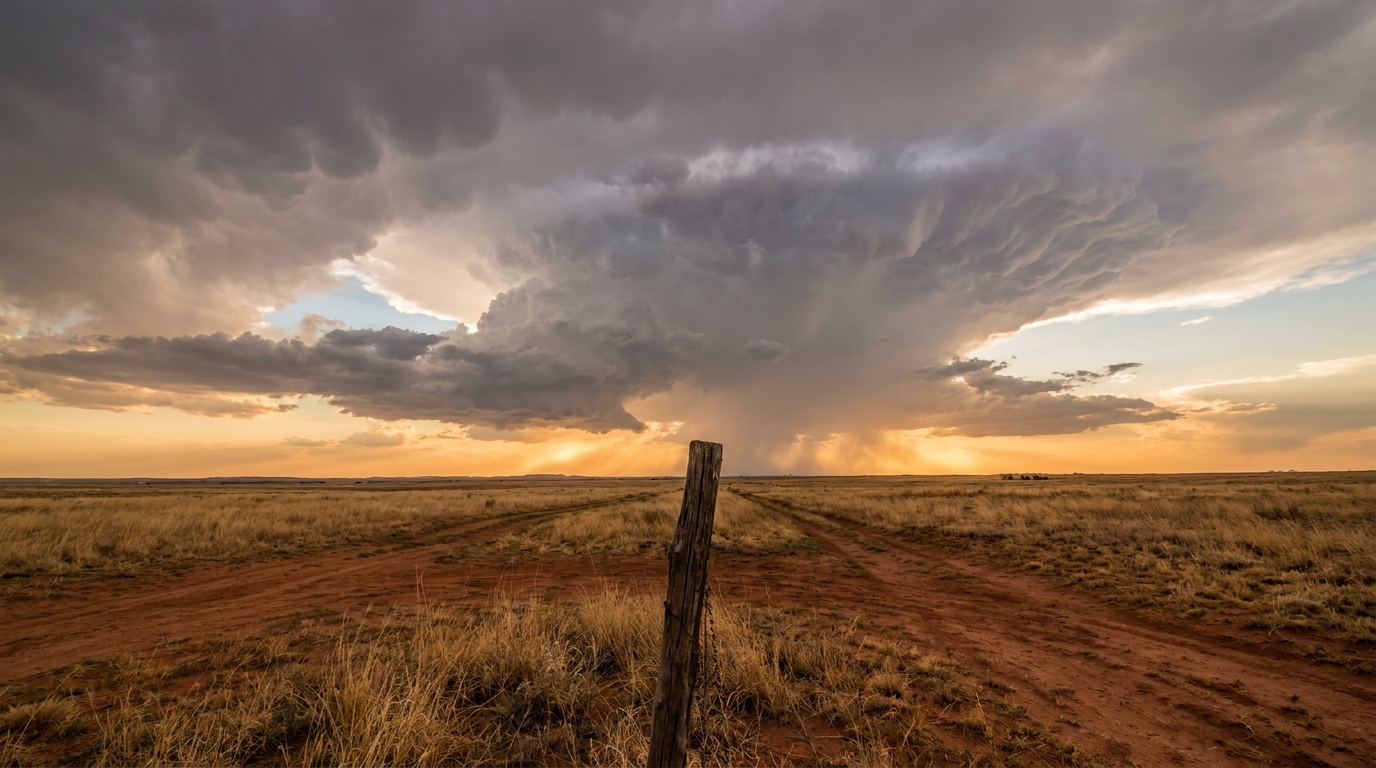
I see a lot of folks talking about that new movie Pressure this week. It is all about the high stakes of weather forecasting. Hollywood loves a dramatic, swirling supercell. They want the big visual. But here is the thing, y'all. Ask any meteorologist what actually keeps them up at night. It is rarely the movie-poster storms. It is the slow, stubborn setups. The ones that just sit there and refuse to leave.
Right now, we have a textbook example of that exact headache playing out across the country.
The Traffic Jam Over the Plains
We have something called an omega block parked over the Central and Southern Plains. Imagine a giant traffic jam in the sky. The jet stream gets kinked into the shape of the Greek letter omega. Everything underneath it just stalls out.
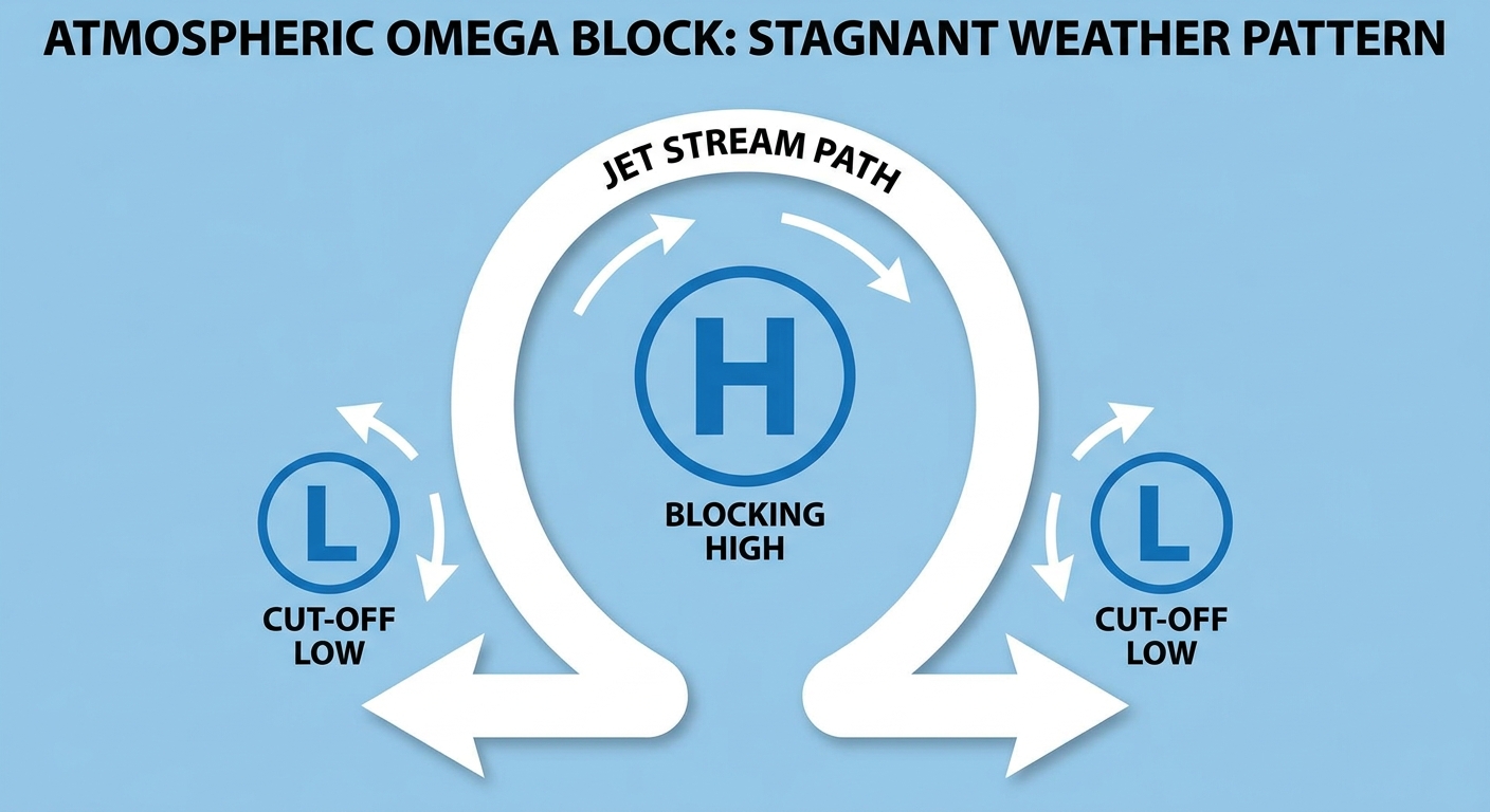
Because of this block, we are seeing stagnant, heavy rainfall across Kansas, Oklahoma, and Texas. The ground is already bone-soaked from yesterday's storms. When the water has nowhere to go, you get flooding. Normally, a place like Dallas is sitting around a comfortable 84 degrees this time of year. Right now, that stagnant air just feels heavy, and the rain keeps coming in waves.
The Sneaky Sea Breeze in Miami
Down in Florida, the setup is entirely different but just as tricky. You will not find a massive low-pressure system on the map. Instead, we have deep tropical moisture pooling over the peninsula.
Combine that heavy moisture with a classic afternoon sea breeze, and you get a recipe for significant urban flash flooding. The Miami and West Palm Beach corridors could see localized bullseyes of 4 to 6 inches of rain. When that much water falls on concrete in a short amount of time, the streets fill up fast. It is not a named storm, but it will absolutely ruin your commute or flood your neighborhood.
Pacific Northwest Energy
Get this. The most intense severe weather threat for Thursday is actually up in the Pacific Northwest. A piece of energy is breaking off a stalled low over California and swinging into the Columbia Basin.
Washington, Oregon, and Idaho are under a Level 2 Slight Risk for severe thunderstorms. The atmosphere up there has record-high energy for late May. We are looking at the potential for damaging wind gusts and bow echoes sweeping across the basin. If you live near Spokane or the Tri-Cities, keep a close eye on the sky Thursday afternoon.
The real drama in weather is not always what you see on a movie screen. It is the blocked-up patterns and the localized downpours that catch people off guard. The data tells the story, and right now, the story is all about water that just will not quit.
https://ryanhallyall.com/blog/hollywood-drama-vs-real-life-weather-the-omega-block-sticking-around