Blog Article
California Cutoff Low and Texas Rain Impact Travel
A Pacific cutoff low brings heavy Sierra snow and California rain, while Gulf moisture soaks Texas. See how this impacts travel from weekend festivals.
Y'all, it is prime outdoor festival season.
Right now, folks are packing up from the Main St Fort Worth Arts Festival in Texas. Out west, Coachella Weekend 2 is winding down, and the LA Times Festival of Books just took over Los Angeles. You buy the tickets, you book the hotel, and you hope for a beautiful spring weekend.
But the atmosphere does not care about your itinerary.
We have two separate weather setups right now that are turning the trip home into a headache. Both coasts are dealing with major travel disruptions, and the science behind it is fascinating.
The California Cutoff Low
Let us start out west. A large, upper-level cutoff low is drifting toward Northern California. It will move inland on Monday. This system lacks a tropical connection, but it still has plenty of moisture to work with.
The Weather Prediction Center has placed portions of Northern California, including the Bay Area and Sacramento, under a Marginal Risk for excessive rainfall on Monday and Tuesday. That means there is at least a 5 percent chance that rain rates will exceed flash flood guidance. If you are driving north on I-5 after a weekend in the desert, expect slick roads, reduced visibility, and ponding on the highways.
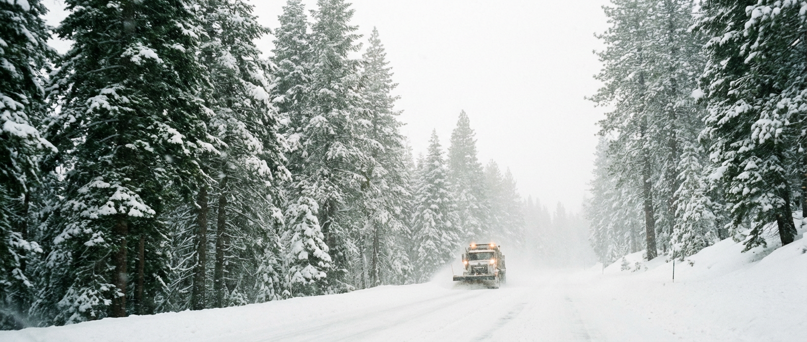
Then there is the snow. As this upper low moves inland, snow levels will drop to around 4,500 feet. The WPC gives a greater than 70 percent chance of at least 12 inches of snow across the highest terrain of the central Sierra Nevada by Wednesday morning. Winter Storm Watches are already active. Travel through the passes will be difficult to impossible by Tuesday night.
The Texas Overrunning Setup
Back in Texas, the mechanism is different, but the result is just as wet. A frontal boundary is stalled out off the Gulf Coast. That is allowing a persistent influx of Gulf moisture to stream northward, riding up and over the cooler air at the surface. Meteorologists call this overrunning.
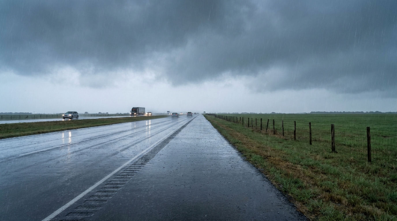
This setup is going to drop 1 to 2 inches of rain along the I-35 corridor and the Hill Country through Tuesday. The WPC is keeping an eye on this for potential flooding. Right now, the lack of intense instability should keep the rain rates manageable. Still, it is going to be a soggy couple of days for anyone driving between San Antonio, Austin, and Dallas.
Normally, Dallas hits 77 degrees and San Antonio reaches 81 degrees in late April. With this thick cloud cover and steady rain, you can expect temperatures to feel much cooler than those seasonal averages.
Aviation Impacts
If you are flying home on Monday, you need to check your flight status. Aviation forecasts show that low ceilings and morning fog will severely disrupt operations at San Francisco Bay Area terminals.
By Tuesday, the travel headaches move east. Heavy morning rainfall will create hazardous flying conditions across Texas. This will likely trigger ground stops and widespread delays at major South Central hubs.
Weather is the ultimate uninvited guest. It does not look at your calendar. If you are on the road tomorrow, give yourself some extra time and keep your headlights on.
https://ryanhallyall.com/blog/how-a-cutoff-low-and-gulf-moisture-are-crashing-festival-season