Blog Article
Hurricane Isaias Landfall Near Pensacola: Flood, Tornado Risk
Hurricane Isaias is strengthening as it makes landfall near Pensacola today, bringing a Moderate flood risk and tornado threat to the Gulf Coast.
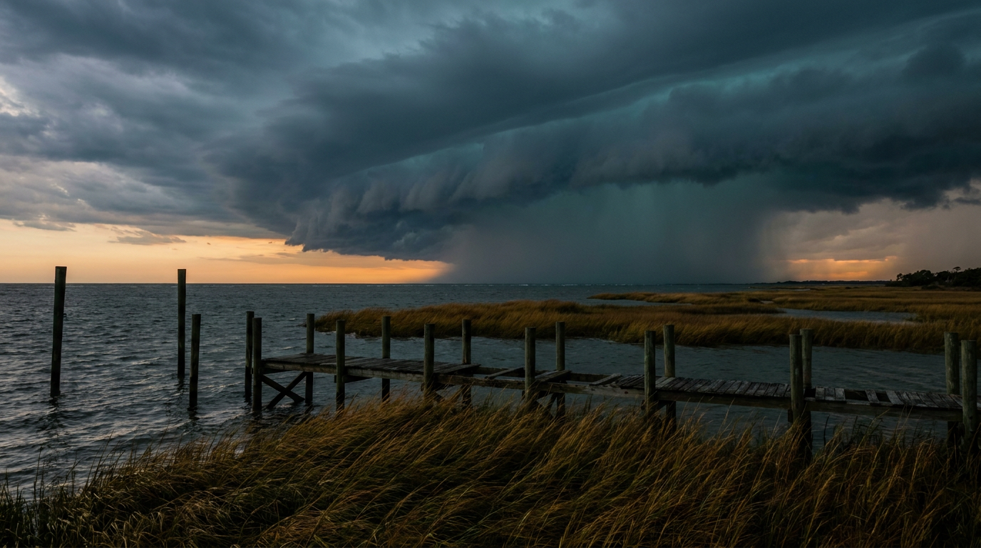
Hurricane Isaias Comes Ashore Near Pensacola Today, With Flooding and a Tornado Threat Trailing Behind
Alright y'all, this is the day we've been tracking since Isaias was just a disorganized blob down in the Bay of Campeche. It's a hurricane now, it's strengthening, and it's about to come ashore near Pensacola. If you're anywhere from New Orleans to Tallahassee, today is not a background-noise kind of day. Here's what you need to know.
The Big Story: Isaias Is Strengthening, Not Weakening, Right Before Landfall
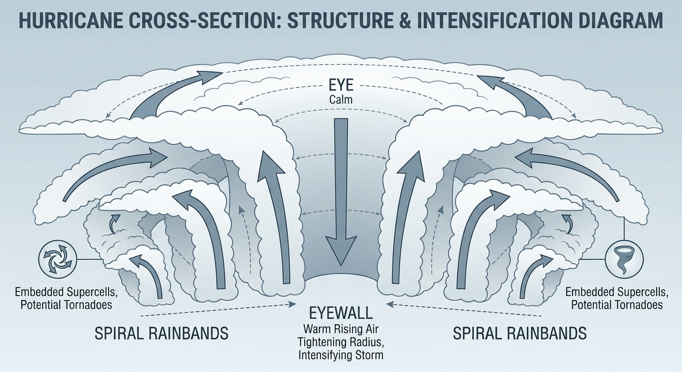
As of this morning's advisory, Isaias has 110 mph winds and a central pressure down to 963 mb. The Hurricane Hunters flying through it overnight found the eye tightening up and the eyewall shrinking, which is exactly the kind of structure that lets a storm keep intensifying right up to the coast. NHC's own peak intensity guidance has Isaias reaching Category 3 strength, around 120 mph, as it closes in on landfall near Pensacola later today.
That's worth sitting with for a second. This storm has gone from a 75 mph tropical storm to a potential major hurricane in about 36 hours. Hurricane Warnings are up from the Mississippi coast to Mexico Beach, Florida, with Tropical Storm Warnings extending into New Orleans and east to the Apalachicola/Tallahassee area.
Timeline: Landfall This Evening, Impacts Through Saturday
Pensacola and Navarre are looking at the closest approach, with arrival of tropical storm force winds starting as early as this afternoon and landfall itself expected tonight. Mobile and Dauphin Island, Alabama, are in the warning zone too, though the eyewall track favors the Florida side. By Saturday, what's left of Isaias will be grinding inland through Alabama, then lifting northeast into the Tennessee Valley and eventually the Carolinas as it transitions to a post-tropical system. The wind and rain don't stop just because the eye falls apart. In fact, Saturday brings the broadest reach of impacts as the moisture plume spreads into Georgia and the Carolinas.
If you've got plans at the Mempho Music Festival in Memphis or you're road-tripping through the Southeast this weekend, keep an eye on this. The remnant moisture and gusty winds will be working their way into the Tennessee Valley by Saturday into Saturday night.
Rain Threat: This Is a Flash Flood Setup, Not Just a Wind Event
WPC has a Moderate risk of excessive rainfall posted today for southern Alabama, the Florida Panhandle, and southwest Georgia. That's their second-highest category, and it means numerous instances of flash flooding are likely, some of them significant. This tracks with what we saw just last week, when training storms dumped over 9 inches on Gadsden County, Florida, and over 7 inches on Charleston. The ground in parts of the Southeast is already saturated going into this, which makes the flood risk worse, not better.
That Moderate risk area shifts into the broader Southeast as a Slight risk on Saturday, meaning the flooding threat doesn't end when the center weakens. It just moves.
Tornado Watch: Outer Rainbands Can Spin Up Quick Twisters
SPC has a Slight risk of severe weather up through the Florida Panhandle, southeast Alabama, and southwest Georgia today, with a Level 2 (5%) chance of a few tornadoes. This is classic landfalling-hurricane behavior. The outer rainbands, way out ahead of the core, can spin up quick, low-topped tornadoes with little warning time. If you're in Tallahassee, Dothan, or Crestview, keep a way to get warnings today even if the sky looks calm where you're standing. That threat continues into Saturday across Georgia and into the Carolinas as the system's warm sector advances.
Meanwhile in the Pacific: Simon Is Blowing Up, and Rachel's Still Out There
Isaias isn't the only story in the tropics right now. Hurricane Simon, off the Pacific coast of Mexico, has rapidly intensified overnight and NHC expects it to reach Category 4 strength by Saturday. Puerto Vallarta and Manzanillo are under Hurricane Warnings, with San Blas looking at the highest wind probabilities. If you know anyone along that stretch of Jalisco, Colima, or Nayarit, now's the time to check in.
Farther out, Tropical Storm Rachel is a weaker system, 50 mph winds, drifting northeast well off the Baja coast. It's forecast to approach northern Baja California by Sunday night, and its moisture is expected to feed into a Slight risk of excessive rainfall across the Southwest early next week. San Diego and the border region are in an Aware tier for gusty winds and rough surf, nothing close to the Gulf Coast threat, but worth watching if you've got weekend plans near the water out there.
Other Things We're Watching
- Early mountain snow in Montana. A Slight risk of significant winter weather is posted for the northern Rockies Sunday into Monday, with over a foot of heavy wet snow possible in the high country around Great Falls and Bozeman. Early-season, but not unprecedented.
- Critical fire weather in Wyoming. Gusty southwest winds and single-digit to teens relative humidity will put Casper and Gillette in a Critical fire weather zone today and tomorrow. Cured fuels plus wind plus low humidity is the recipe, and it's all present.
- Minor geomagnetic storming. NOAA SWPC says G1 to G2 levels are likely today as a CME arrives, following an M6.7 flare from the sun earlier this week. Aurora watchers at far northern latitudes might get a show tonight, but this isn't a story with ground-level impacts for most of us.
Bottom Line
If you live anywhere from New Orleans to the Florida Big Bend, today is a weather-aware day. Isaias is strengthening right up to landfall near Pensacola, and the combination of storm surge, flash flooding, and a few tornadoes in the rainbands means this isn't a one-threat storm. Finish your preparations by this afternoon if you're in the warning zone. For the rest of the Southeast, the story shifts to flooding rain and gusty winds as Isaias's remnants track northeast into Saturday and Sunday. Keep tabs on your local National Weather Service office today. This storm is moving fast and strengthening while it does it, which doesn't give you a lot of room to wait and see.