Blog Article
Hurricane Lowell Nears Kauai as Plains Storms Loom
Category 3 Hurricane Lowell threatens Kauai with flooding and mudslides while the Plains face severe storms and Iowa braces for more flood-prone rain.
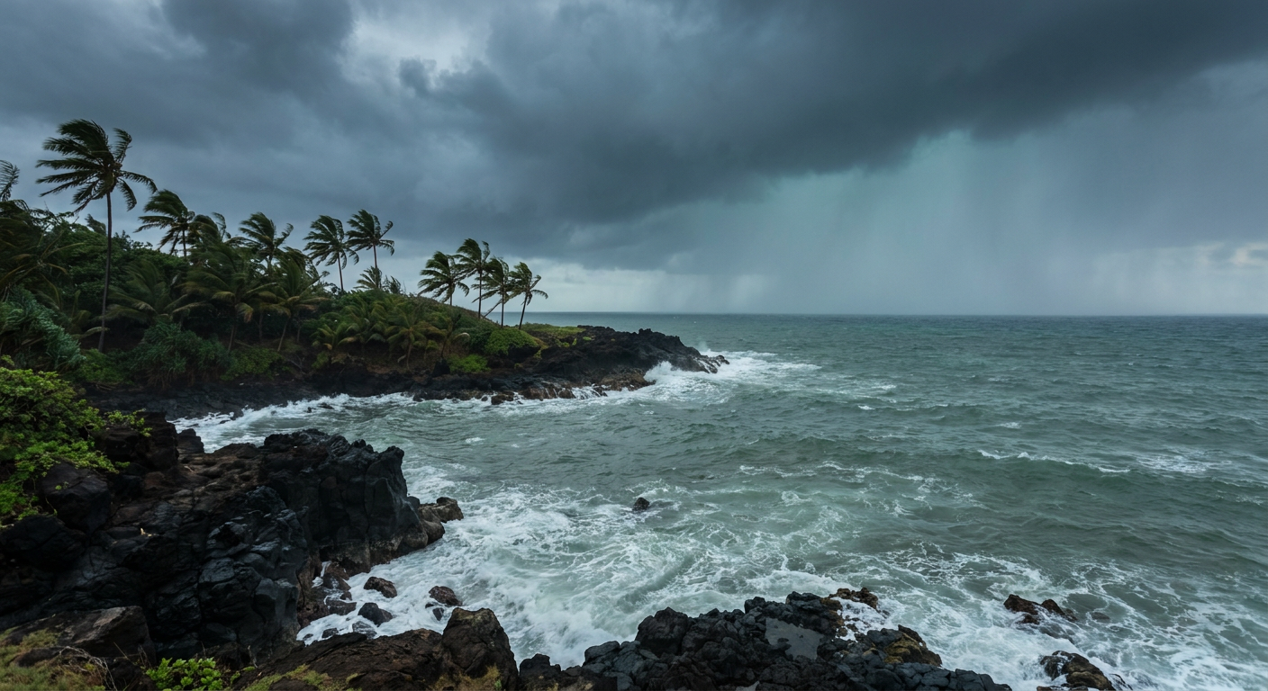
Hurricane Lowell Closes In On Kauai While the Mainland Watches Plains Storms and Iowa Flood Risk
Alright y'all, let's start where the stakes are highest this morning: Hawaii.
The Big Story: Hurricane Lowell Bears Down on Kauai
Hurricane Lowell is a Category 3 hurricane right now, packing 115 mph winds and a central pressure of 950 millibars, sitting about 455 miles southwest of Lihue. It's moving north-northeast at 10 mph, and a Hurricane Warning is up for Kauai County. If you were following along earlier this week, you know Lowell has been a beast. It spun up to Category 5 strength with 160 mph winds back on September 2nd, and it's been fluctuating in strength ever since as it tracks toward the islands.
The good news, if you can call it that, is Lowell is expected to keep weakening. The forecast track has it near 21.0 degrees north, 161.6 degrees west in about a day, with winds down to near 105 mph, then dropping further to around 85 mph by 36 hours out. Closest approach to Kauai's south shore looks to come early Tuesday, with the storm passing at a distance while still packing hurricane-force gusts capable of reaching exposed ridgelines and mountain slopes.
Here's the thing about a weakening hurricane near mountainous islands: the wind gets most of the attention, but the water is the real threat. Forecasters are calling for 6 to 14 inches of rain across Kauai, and that kind of rain falling on steep terrain means flash flooding and mudslides are a serious concern, maybe the biggest concern, through Wednesday. Hurricane Hunter aircraft are in the air right now sampling the storm, and recon has clocked flight-level winds as strong as 107 knots on the eastern side of the center. Expect dangerous surf, rip currents, and coastal flooding to spread across the rest of the main Hawaiian Islands too, even outside the warning zone.
Two other systems are worth a mention but don't carry the same urgency. Tropical Storm Marie, way out in the eastern Pacific with 63 mph winds, is pulling away from the Mexican coast and mainly just churning up dangerous surf along Baja and Southern California beaches, no landfall expected. And Post-Tropical Cyclone Karina, once a hurricane threat itself, has lost its punch and is now just a weakening area of gale-force wind well east of the islands, generating an "aware" level alert at most for far northern Hawaiian shores. There's also a broader disturbance area the National Hurricane Center is watching in the eastern Pacific, currently a 10% shot at development in two days but climbing to 50% by day seven, so keep half an eye on that one down the road.
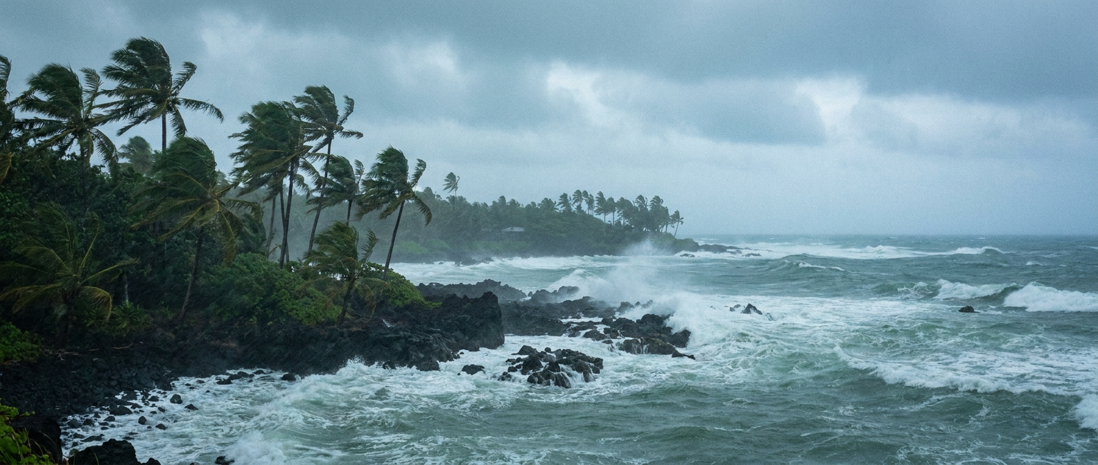
Mainland Severe Weather: Plains Get Another Round
Meanwhile back on the continent, we're still working through the tail end of a stretch that gave us a confirmed brief tornado touchdown near Arnegard, North Dakota, and 83 mph wind gusts near Kingsley Dam, Nebraska, just yesterday. Today's setup carries some of that same energy forward.
SPC has a Slight Risk posted for northwest into central North Dakota, stretching down into southeast South Dakota and northeast Nebraska. Minot, Kenmare, Crosby, Beulah, and McClusky are all inside that zone. The main threat is large hail, but a tornado or two isn't out of the question in southeast South Dakota this afternoon into evening. A much broader Marginal Risk wraps around that, covering a huge swath of population from Sioux Falls down through Jackson, Mobile, and New Orleans, mainly for isolated large hail and gusty winds if storms manage to organize.
Looking ahead, the risk doesn't just disappear. Tuesday's Marginal Risk shifts into the central Plains and Upper Midwest, with Omaha, Minneapolis, Des Moines, and Duluth in the target area as an upper shortwave trough digs across the northern Plains. By Wednesday, that energy pushes into the Ohio Valley and Midwest, with a Marginal Risk covering Columbus, Indianapolis, Cleveland, and Cincinnati as a cold front works east.
None of this is a high-end setup. But after a week that's already produced 98 mph gusts, three-inch hail, and a confirmed tornado, it's worth having a way to get warnings if you're anywhere in these zones.
Flooding Watch: Iowa's Turn Again
Iowa can't seem to catch a break from the rain. Graettinger measured 5.37 inches of rain just this weekend, and Denison wasn't far behind at over 4 inches. Ground across the state is saturated, and WPC has a Slight Risk of excessive rainfall posted for Tuesday specifically because of that setup. A surface front sliding into the Upper Mississippi Valley will slow down enough over the southwestern portion of that boundary to let storms train over the same areas again, meaning localized flash flooding is a real possibility even without another major system involved.
Northwest Montana carries its own Slight Risk today as a shortwave rotates through the Northern Rockies, with a comma-head precipitation band expected to set up and linger over the same terrain-locked areas. By Wednesday, the flood risk broadens out to a Marginal category covering an unusually wide stretch, the Sierra and southeast California, the Southwest, the mid-Mississippi Valley into the Ohio Valley, and even up into northern New York and Vermont, all tied to anomalously high atmospheric moisture running 2 to 3 standard deviations above normal in spots.
A Quick Space Weather Note
SWPC is tracking a G1 (Minor) geomagnetic storm watch for September 8th, driven by solar wind enhancements from a solar sector boundary crossing and a filament eruption that left the sun back on September 2nd. Kp is expected to reach 5. That's a minor storm level, nothing disruptive, but if you're at higher latitudes and the skies clear out, it's worth a glance north after dark.
What We're Watching
- Hurricane Lowell's exact track and intensity as it passes Kauai, and whether the rainfall totals verify near that 6 to 14 inch range
- Flash flood and mudslide reports across the Hawaiian Islands into Wednesday
- Whether Tuesday's severe storms in the central Plains and Upper Midwest can organize into anything beyond isolated hail and wind
- Iowa's flood-saturated soils and whether training storms repeat Tuesday's pattern
- The broadening Wednesday excessive rainfall zone stretching from the Southwest to the Ohio Valley
Bottom Line
If you're in Hawaii, especially Kauai and Niihau, today is not a day to be caught flat-footed. Finish your preparations, know your flood-prone routes, and stay off the roads if water starts rising, this is a flash-flood-and-mudslide event as much as a wind event. If you're on the mainland in North Dakota, South Dakota, or Nebraska, keep an eye on the sky this afternoon for hail and gusty storms. And if you're in Iowa, don't get complacent just because the ground's already wet, that's exactly the setup that turns a normal rain into a flash flood. Outdoor events like the Ohio and Michigan Renaissance Festivals or the upcoming Kansas State Fair look to be in good shape weather-wise for now, but it's always smart to have a plan if storms fire nearby.