Blog Article
Hurricane Polo's Remnants Threaten Flash Flooding in Southwest
Hurricane Polo is fading over Mexico, but its moisture brings a Moderate flood risk to the Southwest just before Albuquerque's Balloon Fiesta week.
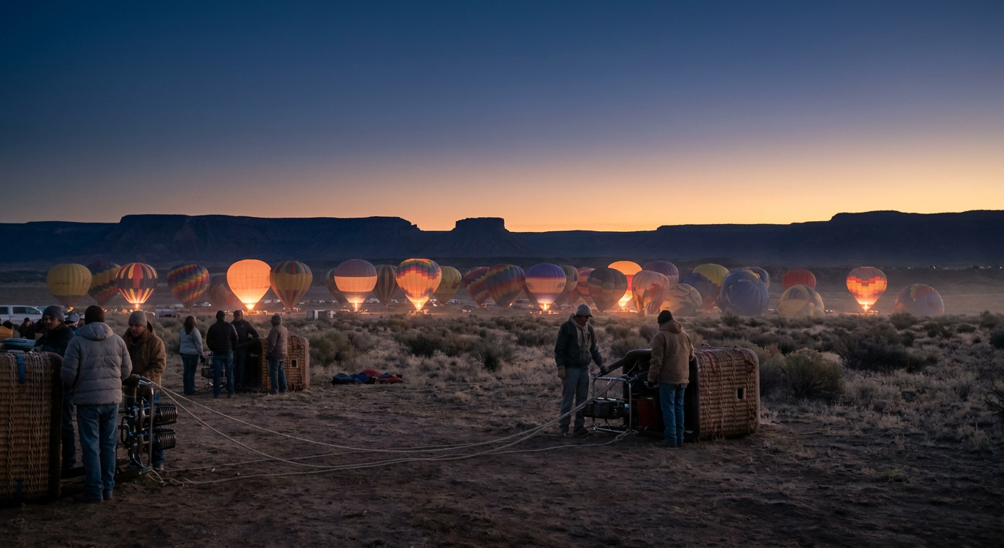
Hurricane Polo Is Fading Out in Mexico Tonight, But Its Leftovers Have Albuquerque's Attention
Get this, y'all. Right now there are two hurricanes spinning in the Pacific at the same time, and neither one of them is headed for a US coastline. But one of them is about to matter a whole lot to a group of people who watch the sky closer than almost anybody in America: the balloon pilots gearing up for the Albuquerque International Balloon Fiesta.
Let's start with the storms themselves, then get to why New Mexico's biggest outdoor spectacle is quietly keeping an eye on all this.
Two Hurricanes, Two Very Different Stories
Hurricane Nolo is the strongest thing on the map today. It's a Category 4 with 144 mph winds sitting a few hundred miles southwest of the main Hawaiian Islands, and the Central Pacific Hurricane Center has Kauai and Oahu in a "prepare" posture as it tracks northwest. Shear and dry air are starting to chew on Nolo's structure, so it's not expected to hold Cat 4 status much longer, but folks in Hawaii still have a close call to watch through Tuesday.
Meanwhile, Hurricane Polo is a Category 3 sitting about 45 miles off Baja California Sur tonight, and it's the one that actually touches US weather this week. Polo is forecast to make landfall near Loreto within hours, bringing life-threatening wind and flash flooding to Baja Sur and Sonora. After that, Polo does what a lot of Eastern Pacific storms do this time of year: it falls apart over Mexico's mountains and rides north as a plume of tropical moisture, no longer a hurricane, but still carrying a lot of water.
Where Polo's Moisture Is Headed
This is where it gets relevant to daily life north of the border. The Weather Prediction Center has a Moderate Risk of excessive rainfall in place for Tuesday and Wednesday across a huge stretch of the Southwest, from southeastern Arizona and southern Utah through New Mexico, southwestern Colorado, far west Texas, the Texas Panhandle, and western Oklahoma. Cities like El Paso, Lubbock, Amarillo, Midland, and Odessa are inside that zone Tuesday. By Wednesday, the risk area shifts into Abilene, Wichita Falls, San Angelo, Oklahoma City, and Wichita, Kansas.
Here's the setup in plain terms: Polo's remnant moisture gets picked up by a strong low-level jet out of the Gulf, while a midlevel low crosses the Southwest and helps thunderstorms train, meaning storm after storm rolls over the same spots instead of moving on through. That's the recipe for flash flooding, not just a wet afternoon. SPC has a Marginal to Slight severe risk riding along with it too, with a couple of tornadoes possible from southeastern New Mexico into west Texas Tuesday into Wednesday.
If you're flying in or out of Albuquerque or El Paso this week, budget extra time. The airport travel outlook already flags likely delays, ground stops, and possible diversions at ABQ and ELP as this moisture moves through.
Why Balloon Pilots Care About Every Bit of This
The Albuquerque International Balloon Fiesta kicks off October 3rd, just days after this system clears out, and it might be the single most weather-dependent event in the country. Mass ascensions need light, calm wind and a stable temperature inversion at sunrise, the kind of setup meteorologists call "box winds," where the breeze actually shifts direction at different altitudes so pilots can steer a little just by changing altitude. One gust in the wrong direction and organizers ground the whole field.
That means fiesta pilots and organizers are already tracking exactly what we're tracking: does this active, moisture-rich pattern clear out and let a drier ridge rebuild over New Mexico before opening morning, or does it linger? The extended outlook does show a broad ridge trying to build back over the Intermountain West and High Plains days 4 through 7, which is the kind of pattern balloon pilots want to see. Nothing is locked in yet with fiesta week still several days out, but the ingredients for that transition are at least on the table.
If you're headed to the State Fair of Texas in Dallas or making plans for ACL Weekend 1 in Austin next weekend, you're outside this particular flood threat for now. Dallas and Austin sit east of where WPC has drawn the Moderate Risk. But if your trip runs through El Paso, Amarillo, Lubbock, or Albuquerque this week, this is the story to watch, not because of the hurricane itself, but because of what a dying hurricane leaves behind.
The Takeaway
Hurricane Polo won't survive the night as a hurricane, but its water will outlive it by days, soaking the Southwest and southern High Plains with the kind of repeat-round rainfall that turns dry arroyos into real hazards fast. And a thousand miles away, a bunch of balloon pilots in Albuquerque are hoping the sky clears out and settles down just in time for launch morning. That's the thing about a big storm system. It doesn't need a name on the news ticker to still be the reason somebody's weekend plans work out, or don't.