Blog Article
Hurricane Rachel, Nolo & Texas Flood Risk: Oct 2 Forecast
Hurricane Rachel churns off Baja, Tropical Storm Nolo nears Hawaii, and a Slight Risk of flooding sets up over Texas into the Gulf Coast this weekend.

Hurricane Rachel Churns Off Baja, Nolo Keeps an Eye on Hawaii, and a Soggy Weekend Looms for Texas Festival-Goers
Alright y'all, let's get into it. There's a lot going on in the tropics this morning, and there's a flood risk setup back home that's gonna matter if you've got plans in Texas this weekend. Here's the rundown.
Hurricane Rachel: A Cat 3 That's Staying Offshore
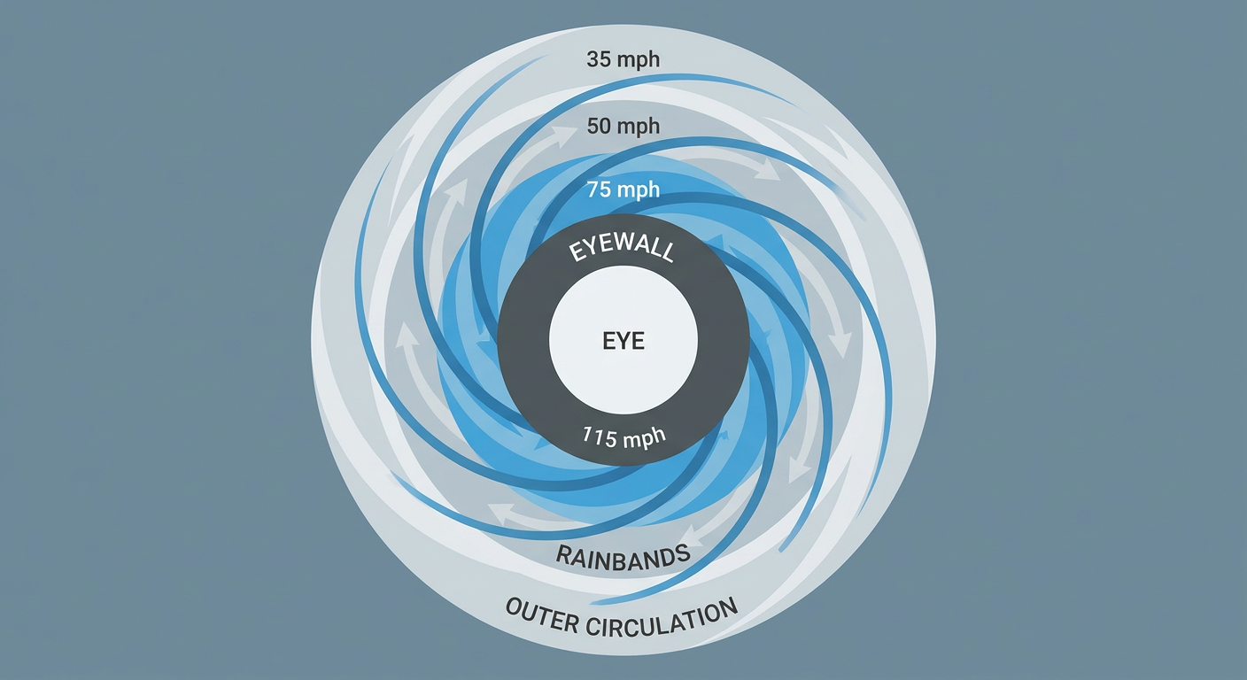
Hurricane Rachel is sitting about 245 miles south of the southern tip of Baja California this morning, packing 115 mph winds and a 955 mb pressure. That's a strong Category 3, though the National Hurricane Center's overnight discussion notes the satellite presentation has degraded a bit, with the eye getting obscured and some dry air working into the northeast side of the circulation. Microwave imagery still shows the inner core holding together, so this isn't a storm falling apart overnight. It's just leveling off some after presumably being stronger.
Rachel is crawling west at only 5 mph, and the official track has no landfall forecast. The closest approach to land comes later today, around 10:30 AM Eastern, when the center passes within about 68 kilometers of the Baja peninsula with intensity near 100 mph. The RHY impact model, which is still experimental, flags a "prepare" level for Cabo San Lucas, San José del Cabo, La Paz, and Puerto Vallarta, mainly for rough surf, rip currents, and gusty onshore winds rather than a direct hit. If you know anyone with beach plans on that stretch of the Mexican Pacific coast this weekend, now's the time to check in.
Tropical Storm Nolo: Hawaii's Turn to Watch the Sky
Far out in the Central Pacific, Tropical Storm Nolo is strengthening and pushing tropical storm conditions farther west along the Papahānaumokuākea Marine National Monument. Nolo's packing 65 mph winds and sits a few hundred miles northwest of Lihue. The forecast track brings its closest approach to Kauai's south shore today, with tropical storm force winds still possible there. This isn't the Category 2 punch Kauai took from Hurricane Lowell back in early September, but if you're on the islands, especially the northwestern Hawaiian chain, keep an eye on Central Pacific Hurricane Center updates through the day.
There's also an area of low pressure forecast to form late this weekend or early next week south of southern Mexico, which NHC gives an 80% chance of development by day 7. Low priority for now, but we'll keep tracking it since that's prime real estate for East Pacific tropical development this time of year.
Back Home: Rain Chances Build Over Texas, Then Slide to the Gulf Coast
Here's the thing you actually need to plan around today. The Weather Prediction Center has posted a Slight Risk of excessive rainfall from central Texas up into southeastern Oklahoma. There's a slow-moving front draped across the state, and the southern end of it is turning into a warm front that'll drift northwest through the day. Southeast of that front, southeasterly flow is hauling in very moist Gulf air, which sets the stage for repeated rounds of heavy rain, especially along the I-35 corridor from Austin down through San Antonio.
That timing is rough for Austin City Limits Weekend One, which kicks off today in Zilker Park. Local Austin/San Antonio forecasters already flagged 2 to 4 inches of rain that fell yesterday, with another 1 to 3 inches possible on top of that. Soils in that corridor are already saturated, so any training storms (thunderstorms repeatedly moving over the same area) could bring urban and low-water-crossing flooding fast. October's climatological normal high for San Antonio is around 82°F, so this isn't an unusually hot setup, it's a moisture problem. If you've got ACL tickets, bring the rain boots and have a flood-safe route home in mind, not just a poncho.
The Dallas/Fort Worth metro is in the same Slight Risk zone today, with training storms possible over an already-saturated Metroplex.
By Saturday, the rain threat slides east. WPC has a Day 2 Slight Risk running from the Houston metro across coastal Louisiana, Mississippi, Alabama, and into the Florida Panhandle. Deep tropical moisture pushes precipitable water values above 2.5 inches, meaning the atmosphere is loaded with available rainfall. Houston, New Orleans, Baton Rouge, Biloxi, Mobile, and Pensacola are all in the crosshairs for prolonged heavy rain and localized flash flooding. Houston's normal high this time of year is 82°F and New Orleans runs about 81°F, so again, this is a humidity and rainfall-duration story more than a heat story.
By Sunday, the Day 3 Slight Risk shifts into much of the Southeast as a progressive cold front runs into that same moisture-rich air mass.
Elsewhere on the Map
- Best weather in the country: A tight corridor from eastern Nebraska through Iowa is looking genuinely perfect today, crisp 61 to 64°F highs, dewpoints in the upper 40s, calm skies, and some of the cleanest air you'll find anywhere. If you're road-tripping through the Plains this weekend, that's your window.
- Fire weather: Southern California picks up at least elevated fire weather risk Saturday as dry offshore flow drops humidity into the 15-20% range with gusty easterly winds near the San Diego foothills.
- Space weather: A CME that left the sun September 28th is expected to nudge geomagnetic conditions up to G1 (Minor) storm levels around midday today, with a slight chance of aurora visibility at high latitudes. Nothing disruptive expected for power grids or GPS, just a minor bump worth a glance north if you're far enough up the latitude ladder tonight.
- Airport delays: DFW, Sarasota, and coastal Carolina airports are the ones most likely to see rain-driven delays today, while Midwest hubs like ORD, MDW, and MSP should run close to on-time.
Bottom Line
Nothing in the tropics is threatening the US mainland directly right now. Rachel stays offshore of Baja, and Nolo's impacts are limited to rough surf and tropical-storm-force wind right around Kauai's south shore today. The story that actually affects your weekend plans is the rainfall risk working across Texas today and sliding into the central Gulf Coast and Southeast by Saturday and Sunday. If you're headed to Austin City Limits, DFW, Houston, New Orleans, or anywhere along that path, build flood-aware plans into your day: know your alternate routes, don't drive through flooded roads, and keep half an eye on your phone for flash flood warnings. Everybody else from the central Plains into the Midwest is sitting under some of the nicest fall weather the calendar's handed out all year. Enjoy it while it's there.