Blog Article
Hurricane Trudy Hits Cat 3, Texas Flood Risk Returns
Hurricane Trudy rapidly intensifies to Category 3 off Mexico, while West Texas faces a Moderate flood risk again and the Mid-Atlantic braces for severe storms.
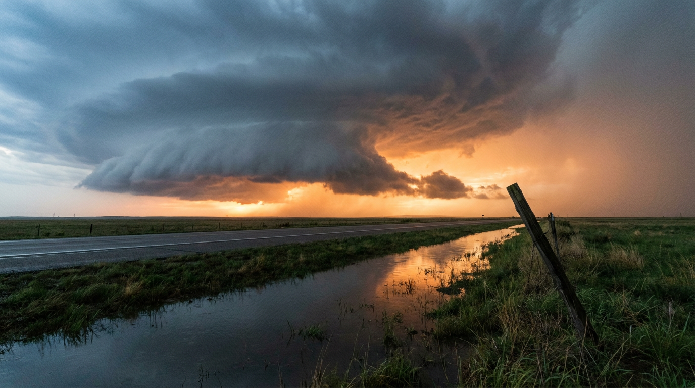
Hurricane Trudy Roars to Category 3, While West Texas Braces for Round Two of Flooding
Alright y'all, there's a lot on the board this morning, so let's get right into it. The headline story is offshore, but it's a big one. Hurricane Trudy went from a Category 1 yesterday to a major Category 3 hurricane overnight, and the folks along Mexico's southwestern coast are squarely in the bullseye this weekend. Back here at home, that stubborn West Texas flood threat we've been tracking all week isn't finished, and a fresh severe weather risk sets up today from the Mid-Atlantic into southern New England.
Hurricane Trudy: Rapid Intensification Overnight
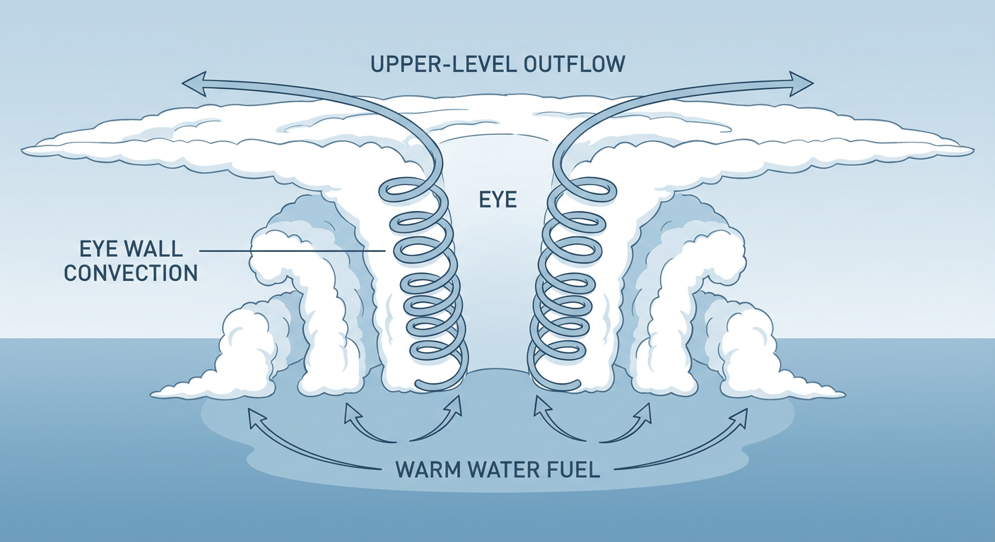
Here's the thing about Trudy. Yesterday morning she was a Category 1 with 90 mph winds. By 3 AM CST today, the National Hurricane Center had her at 120 mph with a 956 mb central pressure, a major Category 3 hurricane. That's rapid intensification in the textbook sense, and the satellite presentation backs it up. NHC describes a 15-mile-wide eye wrapped in a solid ring of deep convection with cloud tops colder than -70°C. That's about as healthy as a hurricane's structure gets.
Trudy is centered a few hundred miles southwest of Acapulco and creeping northwest at just 6 mph, which means she's got time and warm water to keep working with. NHC's forecast actually shows her peaking near Category 4 strength, around 145 mph, within the next day or so as she approaches the stretch of coast from Manzanillo to Zihuatanejo.
A Tropical Storm Warning and Hurricane Watch are already up for that stretch, with up to a 6 in 10 chance of tropical storm force winds, highest right around Manzanillo. Puerto Vallarta sits in a "Prepare" tier with a 4 to 5 in 10 chance of tropical storm winds starting as early as Saturday night. Mazatlan down through San Blas carries a lower but non-zero risk into Sunday morning.
There's also a second system worth a quick mention. Tropical Storm Simon, the one that was briefly a hurricane threat earlier this week, is winding down south of Cabo San Lucas with 40 mph winds and is expected to become a remnant low within a day or so. And NHC is watching a new area of low pressure forecast to form off southern Mexico, carrying a 60% chance of development over the next week. Busy stretch of ocean out there.
None of this is a direct US land threat right now, but if you've got friends or family along Mexico's Pacific coast from Manzanillo to Puerto Vallarta, this is the kind of system where you check in and make sure they've got a plan.
West Texas Flooding: The Moderate Risk Is Back
We've spent most of this week talking about the Southern Plains flood disaster that just won't let up, and today it's not done with us. WPC has posted a Moderate risk of excessive rainfall across portions of West Texas, including the Big Bend and Lower Trans-Pecos, where 3 to 5 inches of rain is possible and there's a 70 to 100% chance of exceeding 3 inches in the hardest-hit spots.
This is the same general corridor, Midland, the Concho Valley, the San Angelo area, that's already seen flooded vehicles, stranded cars, and road closures this week. West State Highway 158 in Midland got hit hard Wednesday into Thursday. Ground is saturated, flash flood guidance is already dropping in spots, and that means it won't take much new rain to cause problems again. If you're in that corridor, you already know the drill by now: don't drive into water on the road, even if you've crossed that same dip a hundred times before.
Florida picks up a secondary rainfall watch too. A Marginal risk covers central and southern Florida today into Saturday as southerly flow ahead of an amplifying trough pushes precipitable water values to around 2 inches, well above normal for mid-October. That's not a Moderate-level threat, but it's enough to watch for slow-moving downpours, especially along the Atlantic coastal plain into Saturday.
Severe Weather Slight Risk: DC to Boston This Afternoon
A deep, positive-tilt upper trough is digging into the eastern US today, and SPC has a Slight risk posted for the Mid-Atlantic into southern New England, covering New York, Philadelphia, DC, Baltimore, and Newark. The setup favors a line of storms capable of damaging winds, with SPC putting a 30% probability (Level 3) on numerous damaging gusts in the higher-confidence zone and a 2% isolated tornado threat riding along with it, mainly from a QLCS, a quasi-linear convective system, or squall line in plain English.
If that setup sounds familiar, it should. Our analog data flagged Halloween 2019 as a solid comparison, a strongly forced, high-shear squall line that produced widespread damaging wind and an EF2 tornado in southeastern Pennsylvania. That event is a confirmed, documented comparison, not a guarantee of what happens today, but it tells you the kind of damage potential this setup can carry when it's organized well. Expect this mainly this afternoon and evening, with better chances for travel headaches at airports like BWI, LGA, and BOS than for anything widespread or long-tracked.
Behind this system, Saturday should calm down considerably across the East as cooler, more stable air takes over. Residual showers and a possible rain-to-snow mix at higher elevations of the Northeast and lower Great Lakes are about the extent of it by Saturday morning, with frost and freeze concerns building in Saturday night.
Fire Weather Still Critical in Southern California
The Santa Ana-style setup over Southern California hasn't budged. SPC has a Critical fire weather risk again today for western LA County, Ventura County, and southeastern Santa Barbara County, where sustained winds of 20 to 30 mph with gusts to 50 mph are expected on top of already dry fuels. That's the same zone that saw PSPS outages climb past 74,000 customer accounts yesterday. If you're in Oxnard, Thousand Oaks, Simi Valley, or Camarillo, keep an eye on your utility's outage map and have a go-bag ready if you're in a fire-prone area.
Weekend Travel and Event Notes
- San Antonio and Austin are buzzing about a sharp cool-down and gusty winds arriving behind today's front, a big swing from this week's warmth heading into a much cooler weekend.
- REDWEST Music Festival in Salt Lake City and the Breakaway Festival in Sacramento both kick off today. Neither sits in a flagged severe or flood risk zone, so outdoor conditions should hold up fine for festival-goers.
- Travelers through Northeast hubs like BOS, LGA, and BWI should expect afternoon delays tied to today's squall line, while the central US, Mountain West, and most of the West Coast should see smooth flying.
What We're Watching
- Hurricane Trudy's exact track and whether she reaches Category 4 strength before paralleling the Mexican coast through the weekend
- Flash flood potential renewing across the Big Bend and Lower Trans-Pecos, where soils are already saturated from this week's rain
- Whether today's Mid-Atlantic squall line produces the kind of damaging wind swath SPC is forecasting, and any brief tornado spin-ups
- Continued Critical fire weather in Southern California and further PSPS activity
Bottom Line
If you're along Mexico's Pacific coast from Manzanillo to Puerto Vallarta, Trudy is a legitimate major hurricane threat this weekend and you should be finishing preparations now, ideally by Friday night. If you're in West Texas or the Big Bend, treat today like a repeat of this week: avoid flooded roads and know your evacuation routes if you're near a low-water crossing. Folks from DC to Boston should plan afternoon and evening activities with one eye on the sky, since a squall line capable of damaging wind gusts and a brief tornado or two is on track to move through. And if you're in western LA or Ventura County, charge your devices and keep cash on hand in case the power goes out from fire-weather wind.