Blog Article
Iowa Flood Risk Returns as Norbert Tracks Toward Hawaii
WPC posts a Moderate excessive rainfall risk over flood-weary Iowa as severe storms threaten today. Plus, Tropical Storm Norbert nears Hawaii this week.
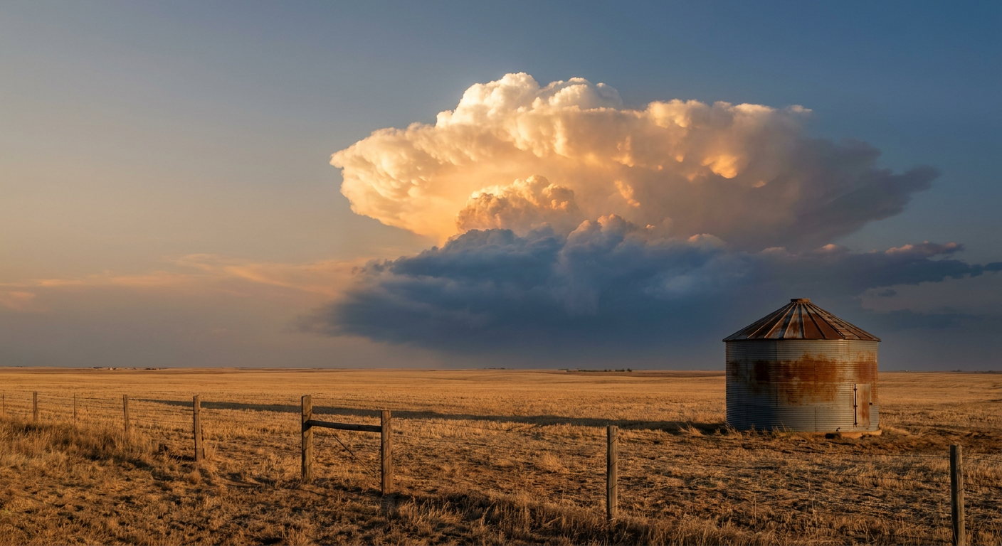
Iowa's Flood-Weary Ground Braces for Another Round While Norbert Eyes Hawaii From Afar
Alright y'all, let's start where the real concern is today: Iowa. If the name Walnut Creek rings a bell, it's because we were just talking about it last week when Des Moines picked up 7.80 inches of rain and pushed that creek to moderate flood stage. Well, the ground out there never really dried out, and now WPC has posted a Moderate Risk for excessive rainfall over portions of central and southwestern Iowa today. That's their highest category short of high risk, and it's not a coincidence that it's sitting almost right on top of last week's soaked ground.
Today's Setup: Severe Storms Meet Saturated Soil
Here's the ingredient list. A strong mid and upper-level trough is diving out of the northern Plains into the Upper Great Lakes today, and a secondary surface low is expected to develop along the boundary it drags behind. SPC has a Slight Risk up for severe thunderstorms across eastern Nebraska into western Iowa this afternoon and evening, covering Omaha, Des Moines, Ames, Atlantic, and Carroll.
The numbers inside that Slight Risk are worth knowing:
- Tornado threat: 5% (Level 2), with a hatched area meaning any tornado that does form could reach EF2 strength or stronger
- Wind threat: 15% (Level 2), with gusts potentially reaching 75 mph in the strongest cells
- Hail threat: 15% (Level 2), with stones up to 2 inches possible in the hatched zone
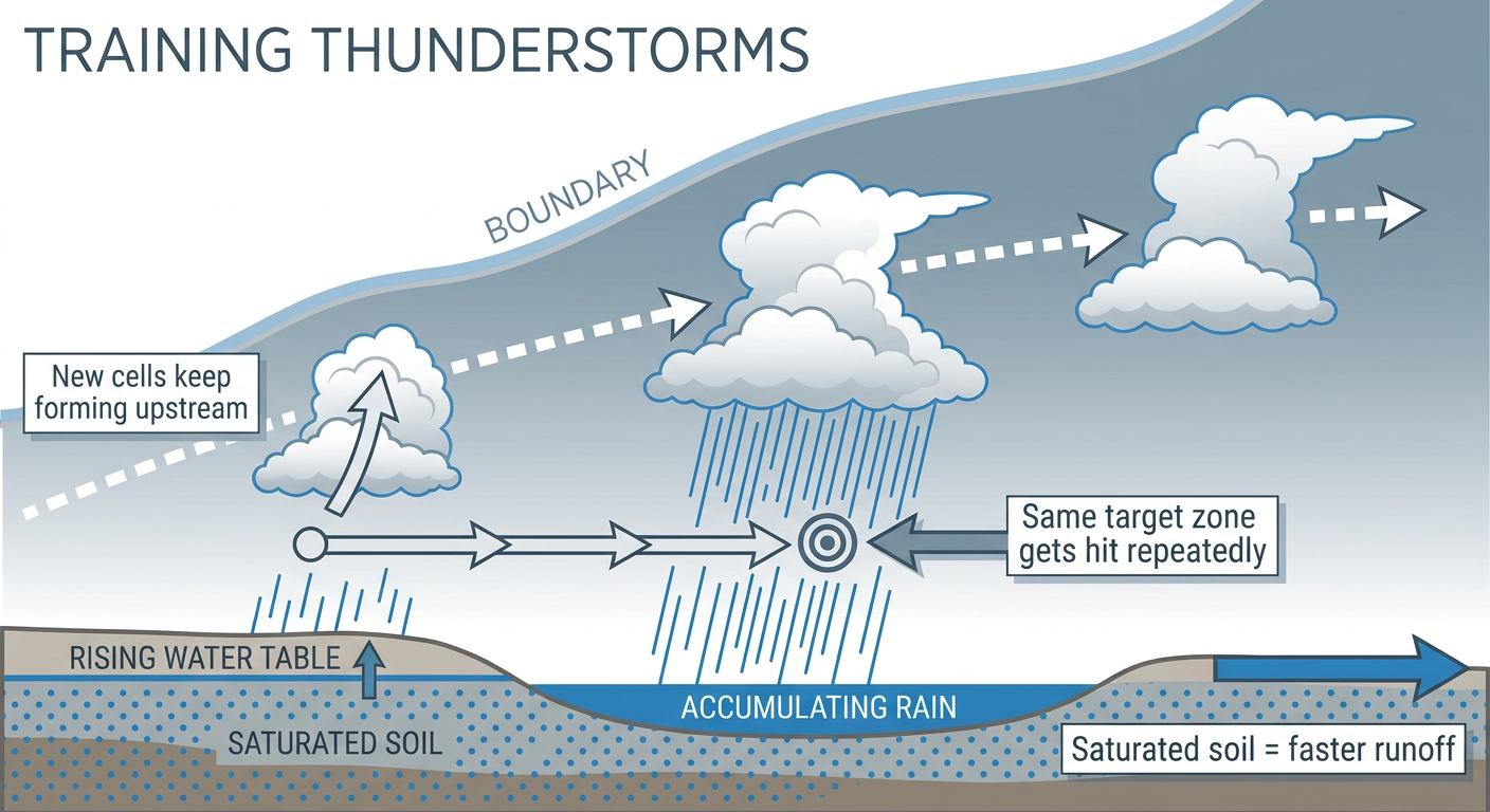
That's not an outbreak-level setup, but it is a legitimate severe weather day, and it's happening in the same corridor that's already dealing with a flash flood hangover. When storms train (that means repeated cells moving over the same spot one after another), the rain adds up fast on ground that can't absorb much more. WPC's discussion specifically flags training thunderstorms with 2 to 3 inch totals likely from northeastern Kansas through southeastern Nebraska and northwestern Missouri, and isolated totals above 4 inches aren't out of the question in Iowa and the Missouri Valley.
Tuesday: The Risk Shifts, But Doesn't Disappear
Day 2 brings a Marginal severe risk stretching from the southern Great Lakes through the lower Missouri Valley, catching Chicago, Indianapolis, Kansas City, Wichita, and Toledo. Dewpoints near 70 degrees and a slow-moving frontal boundary will keep the rain and storm threat going, with damaging wind gusts and downbursts the main concern. WPC also keeps a Slight excessive rainfall risk going Tuesday and Wednesday across the central Plains, Missouri Valley, and into the Southwest, where monsoon moisture is running well above normal for this time of year.
Tropical Storm Norbert Takes Aim, From a Distance, at Hawaii
Out in the East Pacific, Tropical Storm Norbert has weakened slightly to 40 mph winds as increasing wind shear takes a toll on its structure. It's still more than 1,700 miles from Baja California and about 1,200 miles east of Hilo, moving west at 13 mph. The current forecast track has Norbert making its closest approach to Hawaii Island in roughly three and a half days, passing within about 28 miles of the island's east side while weakening to near 30 mph winds.
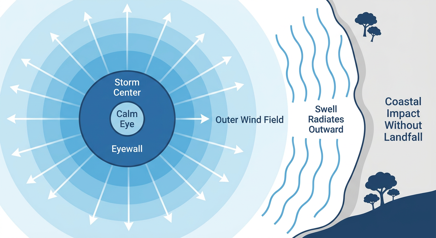
That's not a landfall forecast, and there are no watches or warnings up right now. But our impact model has multiple Hawaiian locations, including Hilo, Lanai, and both coasts of Maui, sitting at a "prepare" threat level. Even a storm that stays offshore can throw rough surf, gusty wind, and heavy rain bands at the islands, especially with soils that are still recovering from Hurricane Lowell's pass just last week. If you're in Hawaii, this is worth watching closely over the next few days, not panicking about.
Meanwhile, Tropical Depression Fifteen-E sits farther out to the southwest and could become a tropical storm later today, but it poses no threat to land. There's also a new Invest, 97EP, that forecasters are watching in the same general area, and a low-risk disturbance in the central Atlantic that NHC gives just a 30% chance of development over the next week. None of these are pressing concerns for the U.S. mainland right now.
Other Things on the Radar
- Fire weather: Critical fire conditions are possible today across central Wyoming with strong southwest winds and a well-mixed dry boundary layer. Tuesday shifts that concern to southwestern Oklahoma into northwestern Texas, where south-southwest winds around 15 to 20 mph and highs in the lower 100s will keep fire danger elevated.
- Space weather: NOAA's SWPC outlook shows a G1 (Minor) geomagnetic storm possible Wednesday, September 16, with Kp reaching 5. That's minor enough that most people won't notice anything beyond a slightly better shot at aurora for far northern latitudes.
- The good news day: If you're not in the flood zone or the severe risk area, today's actually pretty nice out there. The best outdoor weather runs from the central High Plains into the western Great Lakes and Pacific Northwest, think Toledo, Fort Wayne, and the Tri-Cities, where a dry Canadian high has scoured out the humidity.
What It Means for Your Plans
Tonight's Broncos at Chiefs Monday Night Football game in Kansas City sits outside today's severe risk area, so no weather concerns there for kickoff. If you're headed to the ballpark tonight in Cincinnati, Chicago, Minneapolis, or St. Louis, those cities are also outside the Day 1 risk zone. Kansas City residents should keep an eye on Tuesday, though, since that Marginal risk corridor includes the metro for tomorrow afternoon and evening. Folks heading to the Women's Softball World Cup in Oklahoma City this week should watch for the building fire weather concern with gusty winds and dry air moving in behind the front.
Bottom Line
If you're in eastern Nebraska or western Iowa, today's the day to have a way to get warnings, whether that's a weather app, NOAA weather radio, or local TV. The combination of a legitimate severe threat and a Moderate excessive rainfall risk over already-saturated ground means both wind/hail damage and flash flooding are real possibilities in the same footprint. Avoid driving through flooded roadways no matter how shallow they look. For Hawaii, Norbert doesn't demand action yet, but it's the kind of system you want to keep tabs on through midweek as the track and intensity get refined.