Blog Article
Isaias Nears Hurricane Strength, Targets Gulf Coast Friday
Tropical Storm Isaias is forecast to rapidly intensify into a hurricane before reaching the Alabama/Florida Panhandle coast Friday night. Full timeline and impacts.
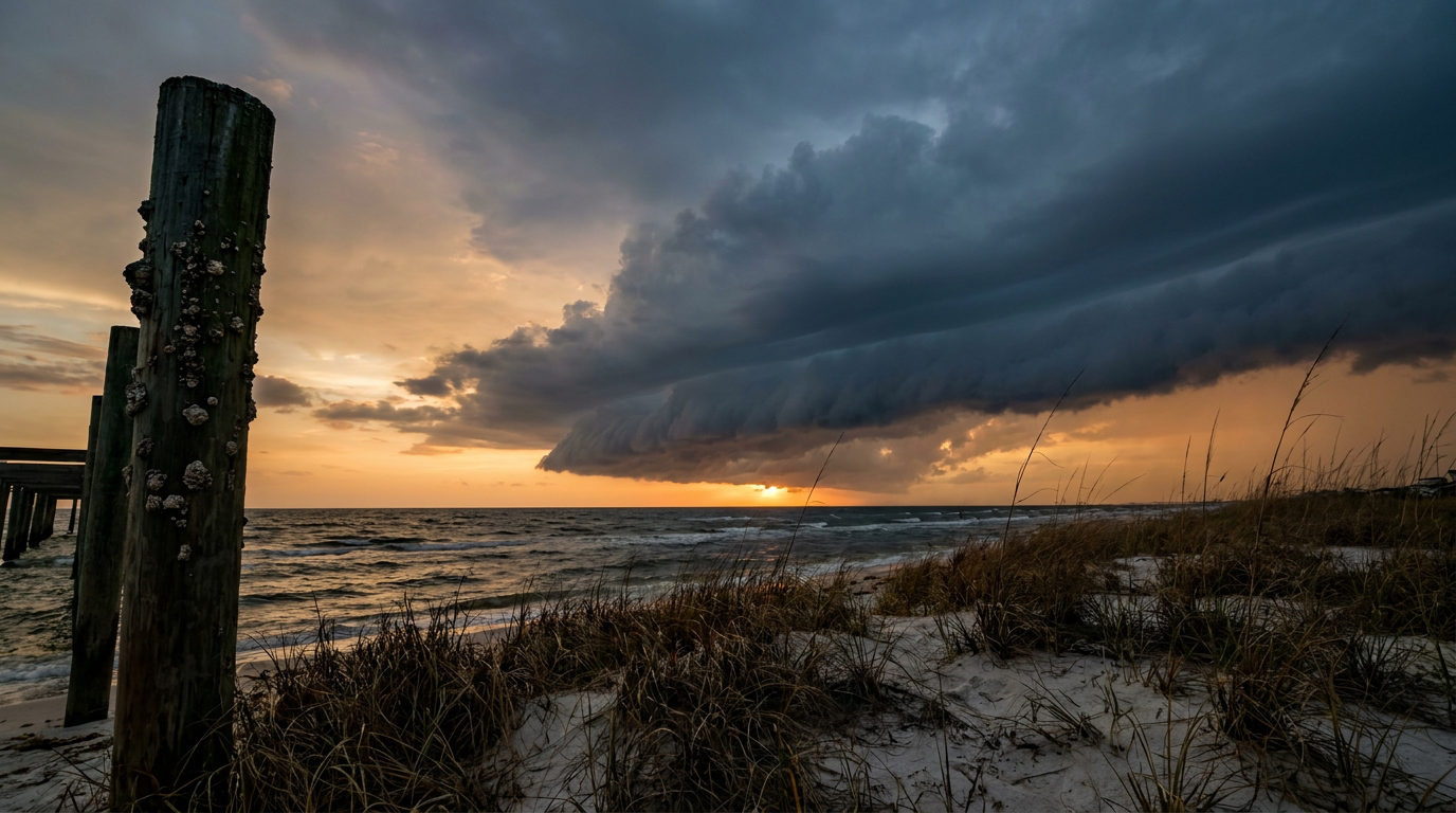
Isaias Spins Up Fast: Northern Gulf Coast Bracing for a Friday Night Hurricane Threat
Alright y'all, remember that disorganized blob we were watching in the Bay of Campeche yesterday? The one that became Tropical Depression Nine? It's got a name now. Tropical Storm Isaias formed overnight and it is not messing around. The National Hurricane Center has it forecast to rapidly intensify over the next 48 hours, and that puts a big chunk of the northern Gulf Coast, from southeast Louisiana to the western Florida Panhandle, in a real "get your plan together" window.
The Setup
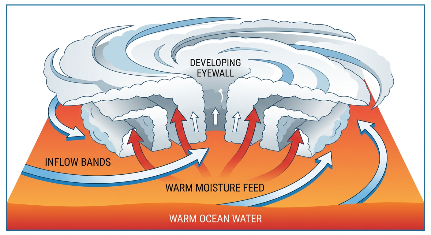
As of this morning, Isaias is a 40 mph tropical storm sitting about 285 miles west of Progreso, Mexico, and roughly 580 miles southwest of the mouth of the Mississippi River. It's drifting east-northeast at 8 mph, which is slow, and that slow movement over warm Gulf water is exactly why forecasters are concerned about rapid strengthening. The water in the central Gulf right now is basically rocket fuel, think Gulf Coast October warmth, the kind of moisture and heat you'd expect with highs near New Orleans' normal of 81 degrees this time of year. Add low wind shear into the mix and you've got a recipe for a storm that gets stronger, fast.
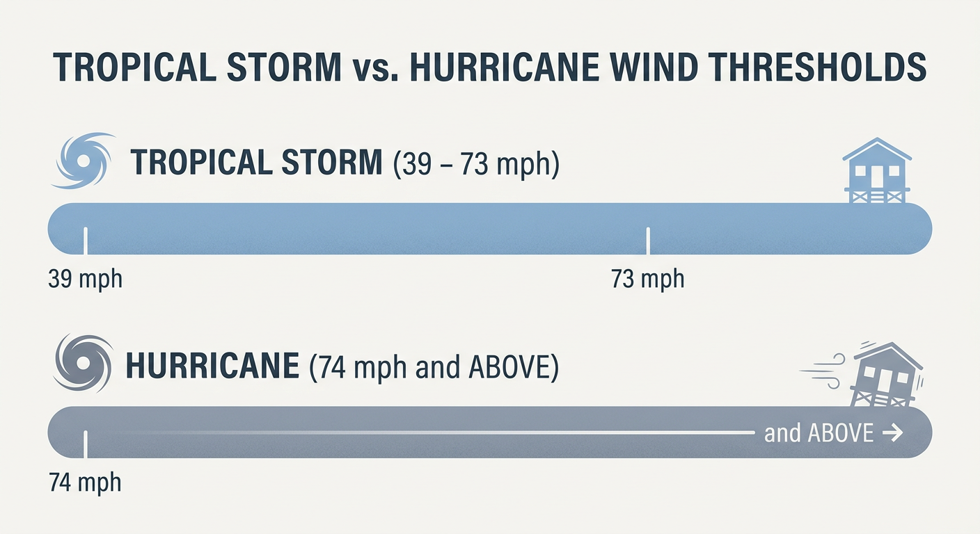
The NHC's latest guidance has Isaias reaching Category 2 strength, around 100 mph, by Friday evening as it nears the coast. That's a jump of 60 mph in roughly two and a half days. This storm has room to surprise us on the upside, and forecasters are leaning into that possibility rather than away from it.
Who's In the Crosshairs, and When
Here's the timeline as it stands right now:
- Today through Thursday: Isaias stays offshore in the central Gulf, strengthening. Outer rain bands start reaching the Florida Panhandle Thursday night.
- Friday: This is the day it gets real. Impact modeling puts the Mississippi coast through Panama City, Florida, in a "Prepare" tier, with the highest odds of tropical storm force winds centered near Mobile, Alabama (a 3 to 6 in 10 chance of 39+ mph winds, and up to a 2 in 10 chance of hurricane-force gusts). Winds could start arriving as early as Friday morning, but Friday evening is the more likely onset.
- Friday night into Saturday morning: Current data points toward landfall near Dauphin Island, Alabama, with the storm likely at or near hurricane strength. Southeast Louisiana (Central Louisiana through Slidell) and the Florida Big Bend are in an "Aware" tier, meaning lower but non-zero odds of tropical storm winds.
Mobile and Dauphin Island carry the highest numbers right now, but Pensacola, Navarre, and Pascagoula aren't far behind. If you're anywhere along that stretch, Friday is the day to have your plan locked in, not the day you start making one.
Severe Weather Risk Climbs Too
The Storm Prediction Center has posted a Marginal Risk for severe thunderstorms along the north-central Gulf Coast, including Gulf Shores, Pensacola, and Biloxi, for the Saturday morning timeframe. The SPC discussion specifically calls out an increasing tornado risk developing late Friday night into early Saturday as Isaias's circulation moves onshore. That's typical for landfalling tropical systems. The right-front quadrant tends to spin up quick, short-lived tornadoes, and SPC's longer-range Day 4-8 outlook has already shifted that slight risk window east and inland to account for a potentially stronger, faster-moving storm.
Florida's Rain Problem Isn't Over
Before Isaias even gets here, Florida is still digging out from the rain that hammered the Panhandle and Northeast Florida this week. Gadsden County picked up over 9 inches, Apalachicola saw 7.48 inches, and Jacksonville Beach measured 5.9 inches, all in the last 48 hours. That same stalled front is still draped across the peninsula today, and the Weather Prediction Center has a Marginal Risk of excessive rainfall posted for much of Florida through Friday. Orlando and the I-4 corridor are seeing a lot of search interest on this right now, and it's warranted. By Saturday, as Isaias's circulation approaches, that risk escalates to a Moderate Risk for far southern Alabama and the western Florida Panhandle specifically, meaning widespread flash flooding becomes a real possibility right on top of the wind threat.
What Else We're Watching
- Hurricane Rachel is spinning in the open Eastern Pacific as a Category 1 storm with 81 mph winds, several hundred miles off Baja California. It poses no threat to the US mainland and its closest approach to land stays well offshore of San Quintín, Mexico.
- Space weather is quiet today, but NOAA's SWPC says a CME arrival could spark G1 to G2 (Minor to Moderate) geomagnetic storm conditions by Friday, October 9. Aurora chasers in the northern US might want to keep an eye on that.
- If you've got outdoor plans this weekend anywhere near the Gulf Coast, from Montgomery's Taste of the Fair today to any coastal events along the Panhandle, keep Isaias on your radar. Inland Alabama and Georgia will likely stay dry through Thursday, but that changes fast once the storm's outer bands arrive Friday.
Bottom Line
If you live anywhere from southeast Louisiana to the western Florida Panhandle, especially around Mobile, Dauphin Island, Pensacola, or Pascagoula, today is the day to finish your hurricane prep. Isaias is forecast to intensify quickly, and the window between "tropical storm" and "hurricane at your door" could close faster than you'd like. Charge your devices, check your supplies, and know your evacuation zone if you're on the coast. Florida, you're stuck in the rain pattern a little longer regardless of what Isaias does, so keep an eye on those flood watches through the week. We'll have an updated track and timeline tomorrow as NHC advisories continue to come in.