Blog Article
Tallahassee Football Weather: Gulf Moisture Risk Tonight
Tonight's SMU-Florida State game sits under a marginal rainfall risk from lingering Gulf moisture, while Hurricane Lowell nears Hawaii. Here's the breakdown.

Kickoff Under a Muggy Sky: What Tonight's SMU-Florida State Game Has to Do With the Gulf
Alright folks, college football season is rolling now, and tonight SMU heads into Tallahassee to take on Florida State. Kickoff's right around 7:30 Eastern. Get this, y'all: the same moisture that's been soaking the Gulf Coast all week is sitting right over that stadium tonight.
The Air Is Doing What Tropical Air Does
We're not talking about a tropical system bearing down on the Panhandle. We're talking about leftover moisture, the kind that lingers in the atmosphere for days after a system like Edouard moves through and dumps its rain elsewhere. The Weather Prediction Center has a Marginal risk of excessive rainfall painted across the central Gulf Coast tonight, running from far southeastern Texas into southwestern Alabama and the western Florida Panhandle. Morning soundings and satellite moisture data showed 2.0 to 2.3 inches of precipitable water sitting over that corridor. That's not a record for September, but it's enough to make the air feel thick and load the dice for a pop-up storm or two.
Here's the thing about a Marginal risk. It means at least a 5% chance that rainfall gets heavy enough, in a short enough window, to cause localized flooding. It's the lowest rung on WPC's ladder. Most folks going about their evening won't notice a thing. But if you're tailgating outside Doak Campbell tonight, don't be shocked if a stray shower rolls through, dumps hard for twenty minutes, and clears out just as fast. That's exactly the kind of setup this airmass supports: not a washout, just a nuisance shower or a weather delay if lightning gets close enough to the stadium.
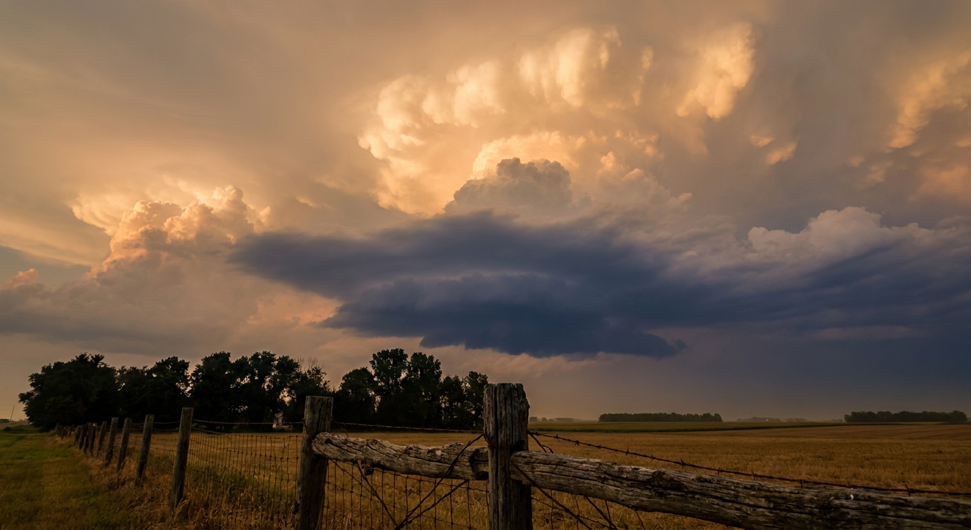
Same Soup, Different Week
This isn't a new story for 2026. Go back to the start of the month and Tropical Storm Edouard parked itself over southeast Texas and dropped 10 to 21 inches of rain on Hardin and Tyler counties. That water had to go somewhere, and the atmosphere over the Gulf Coast has been running rich with moisture ever since, feeding round after round of storms from the Northern Plains all the way down to the Carolinas this past week. Last night alone, Severe Thunderstorm Watches lit up parts of Iowa, Kansas, Missouri, South Carolina, and Georgia, with wind gusts over 80 mph reported in Nebraska and trees down across Gaffney, South Carolina. Tonight's Tallahassee setup is a much quieter cousin of that same pattern, just enough juice in the air to matter, not nearly enough to be a headline.
Meanwhile, Lowell Is Bearing Down on Hawaii
While the Southeast worries about a stray shower at a football game, Hawaii's dealing with the real thing. Hurricane Lowell is a Category 2 storm packing 109 mph winds and is forecast to pass just west of Kauai overnight into Tuesday morning. Kauai County is under an action-level threat in our impact model, with the island possibly seeing another 6 to 10 inches of rain on top of what's already fallen, plus damaging surf and the kind of wind that snaps power poles. If you've got family on Kauai or Niihau, tonight's the night to make sure they're set, not tomorrow morning.
A Bonus for the Sky Watchers
One more thing worth a glance tonight. NOAA's Space Weather Prediction Center has a minor G1 geomagnetic storm forecast to peak Tuesday, tied to a solar wind boundary crossing and a filament eruption from a few days back. It's a modest event, Kp 5 at most, so don't expect aurora over Tallahassee or Dallas. But if you're up in the northern tier tonight, it's worth stepping outside and looking north.
The Takeaway
A Marginal risk doesn't mean nothing's happening. It means the atmosphere's primed just enough for a quick, hard shower to sneak into an otherwise normal night, whether that's a football stadium in Tallahassee or a tailgate lot in Mobile. Keep an eye on the sky, not just the scoreboard.