Blog Article
College Football Meets Storm Season in the Plains
Week 3 college football brings tailgates to Kansas and Nebraska right as SPC flags a Slight Risk of severe storms. Here's what fans need to know before kickoff.
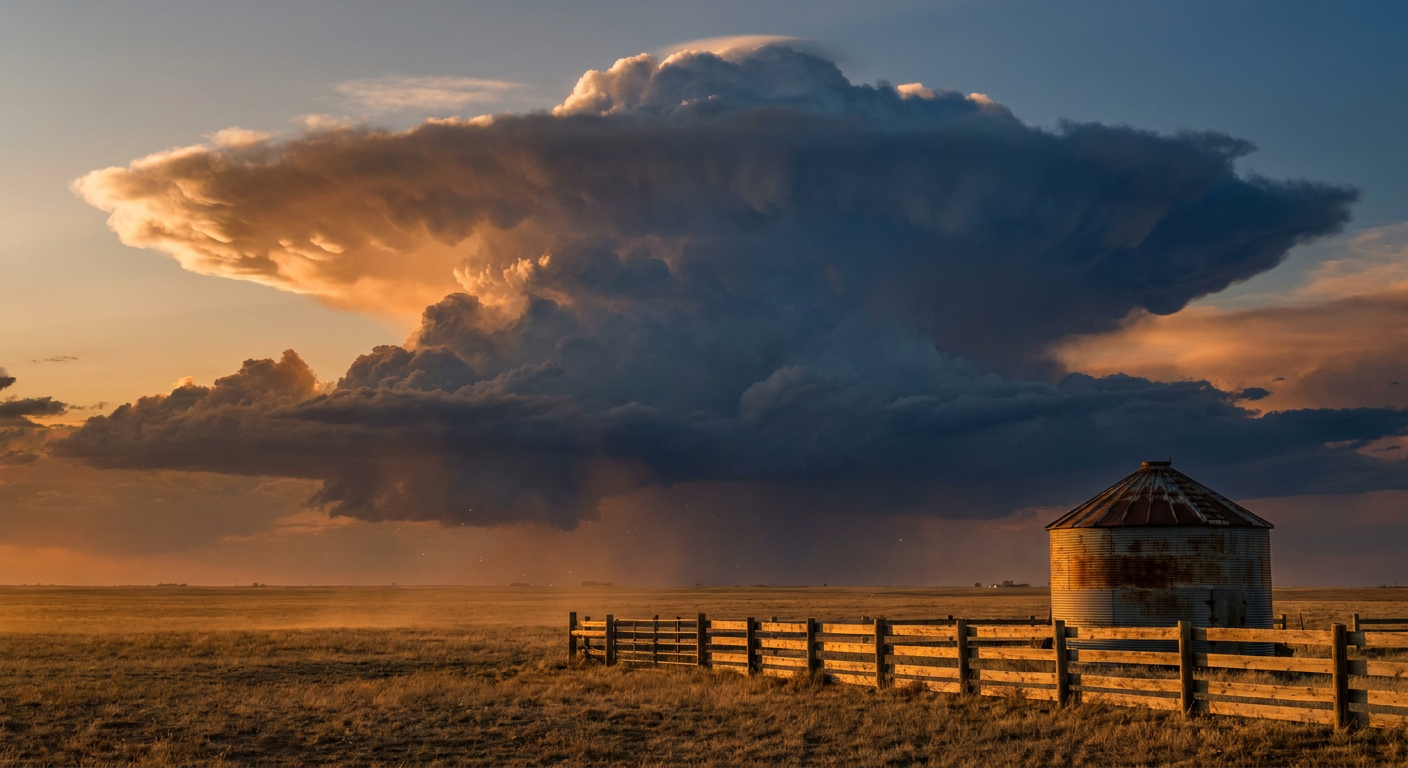
Kickoff Weather: College Football Walks Right Into Storm Season
Alright folks, it's Week 3 of college football, and if you've looked at a schedule lately, you know Saturday's basically a national holiday. Dozens of games kicking off from College Station to Ann Arbor. The Kansas State Fair opens in Hutchinson tomorrow. Tailgates are already loading coolers. And right in the middle of all that fun, the atmosphere over the central Plains is fixing to throw a wrench into things.
Here's the thing. This isn't a washout weekend for most of the country. But if your team's playing in Kansas this weekend, you need to keep half an eye on the sky.
Friday Night in Lawrence: Storms on the Clock
Missouri heads to Lawrence to play Kansas Friday night, kickoff around 7 pm central. That game falls right inside the window the Storm Prediction Center is watching for Friday. SPC has a Slight Risk of severe weather stretched from central Nebraska through eastern South Dakota, Iowa, Minnesota, and Wisconsin, with a Marginal Risk wrapping into the eastern Dakotas and northern Kansas.
Get this: a surface low is set to develop and track east across South Dakota Friday, dragging a cold front southeast while a dryline stretches down through central Nebraska. That's the classic recipe. Thunderstorms are favored late afternoon into the evening near that surface low, the warm front, the triple point, and the dryline itself. SPC's forecast carries a 5 percent chance of tornadoes and up to a 30 percent chance of damaging wind gusts over 60 mph in the most active zones, with hail over 2 inches possible in the strongest cells.
Lawrence sits close enough to that northern Kansas Marginal Risk that it's worth a second look before you head into the stadium. Nothing about this says the game gets called. It says: know where the shelter is, and don't shrug off a siren if you hear one.
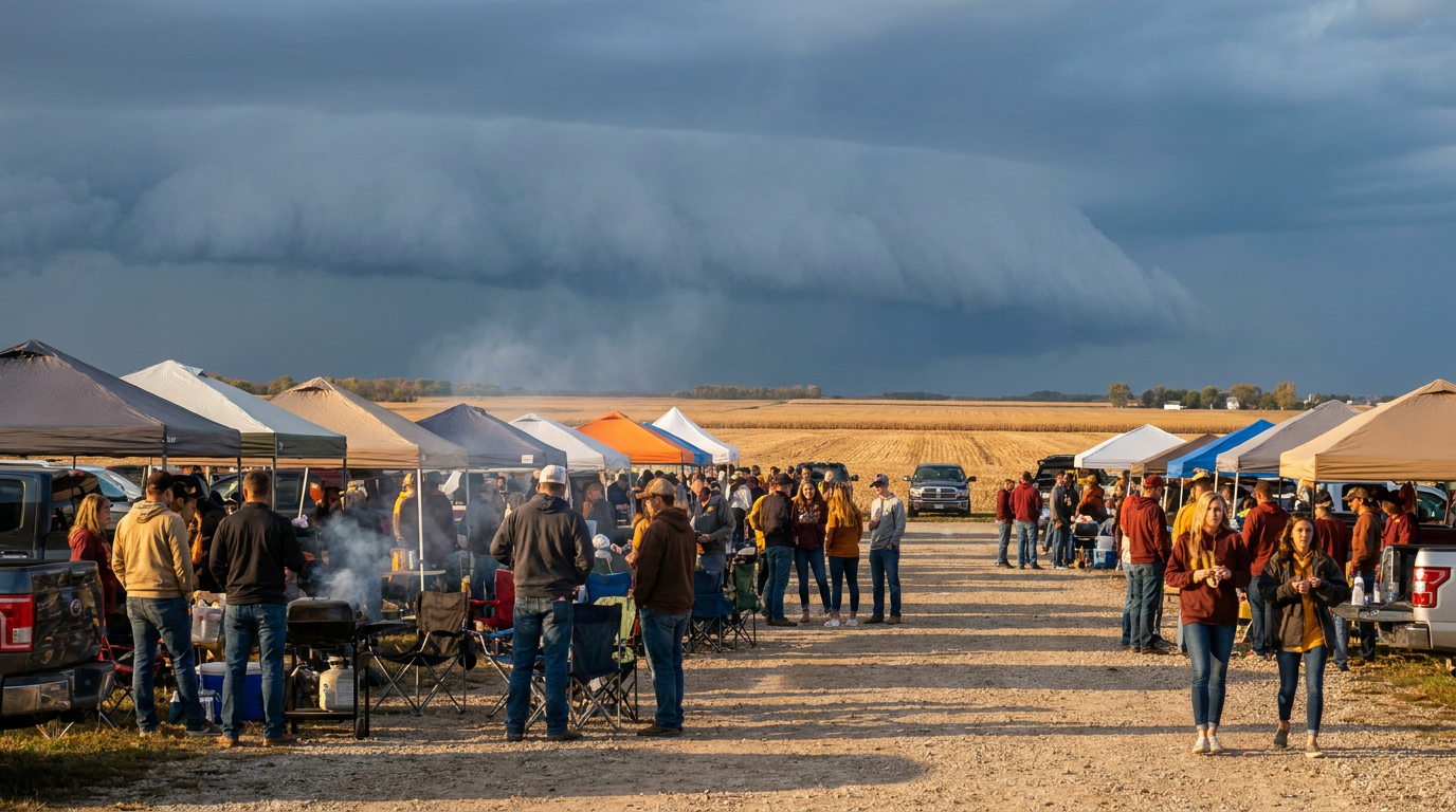
Saturday: A Wider, Milder Risk Follows the Front
Once that front clears the Dakotas and Minnesota Friday night, it settles into Kansas and Missouri for Saturday. SPC's Day 3 outlook has a Marginal Risk of severe storms from Kansas into northern Missouri, covering Kansas City, Wichita, and Topeka. That puts Washington State at Kansas State in Manhattan in the neighborhood, though kickoff there is late morning, well ahead of when storms typically fire in the afternoon and evening.
Zoom out to the national Nice Weather Outlook and you see the same story from a different angle. Saturday's best combination of sunshine and comfort sets up along the New England coast and coastal Southern California. The broad Central Plains and Midwest corridor, meanwhile, gets stuck at Fair to Decent, held back by wind gusts near 25 mph and 50 to 60 percent cloud cover as that same front works through. Translation: it's not a bust of a day, it's just not the postcard tailgate weather the rest of the country's getting.
Everybody Else Gets a Break
For most of the marquee matchups, the sky cooperates:
- Arizona State at Texas A&M in College Station sits south of Thursday's Marginal severe risk, which was centered more on Dallas and Fort Worth, and that risk clears out well before Saturday's kickoff anyway.
- Oregon at Oklahoma State in Stillwater is outside the highlighted severe zones on both Day 1 and Day 2 outlooks.
- Florida A&M at Miami in Miami Gardens looks quiet. The tropics are churning out two systems, Tropical Storm Lowell and Tropical Storm Norbert, but both are way out in the East Pacific, nowhere near Florida.
- Villanova at Louisville on Friday night should be past the rain. The Weather Prediction Center has a Slight Risk of excessive rainfall over the Ohio Valley and Central Appalachians, including Kentucky, but that risk window closes Friday morning, hours before kickoff. The ground may still be soft from it.
Why This Matters Beyond One Weekend
We're one week removed from watching 5 to nearly 8 inches of rain fall on Des Moines overnight, enough to push Walnut Creek into moderate flood stage and shut down roads across the metro. That same broad pattern, an active jet stream still delivering rounds of organized severe weather to the Plains and Midwest in mid-September, is what's setting up Friday's storms in South Dakota and Nebraska. September doesn't turn the severe weather machine off just because football season turns on. The two seasons overlap for a few weeks every year, and this is one of the weekends you can feel it.
If you're headed to a game or the fairgrounds in Kansas, Nebraska, or the Dakotas, check the forecast one more time before first pitch, kickoff, or funnel cake. A Marginal or Slight Risk isn't a guarantee anything happens at your exact tailgate spot. It's the atmosphere telling you the ingredients are there. Have a plan for where you'll go if the sky turns on you, and you'll still get to enjoy the game.
The Takeaway
Football season and severe weather season share the calendar for a few weeks every fall, and this is one of the weekends they're sharing a zip code. Most of the country's tailgate weather looks just fine. If your team's playing in the Plains, keep the weather app open right alongside the depth chart.
https://ryanhallyall.com/blog/kickoff-weather-college-football-walks-right-into-storm-season