Blog Article
NFL Preseason Weather: Ohio Wind Risk Tonight, Moke Nears Hawaii
Cleveland and Cincinnati NFL preseason games sit in an SPC Slight Risk zone with 75 mph gust potential tonight, while Tropical Storm Moke closes in on Hawaii's Big Island.
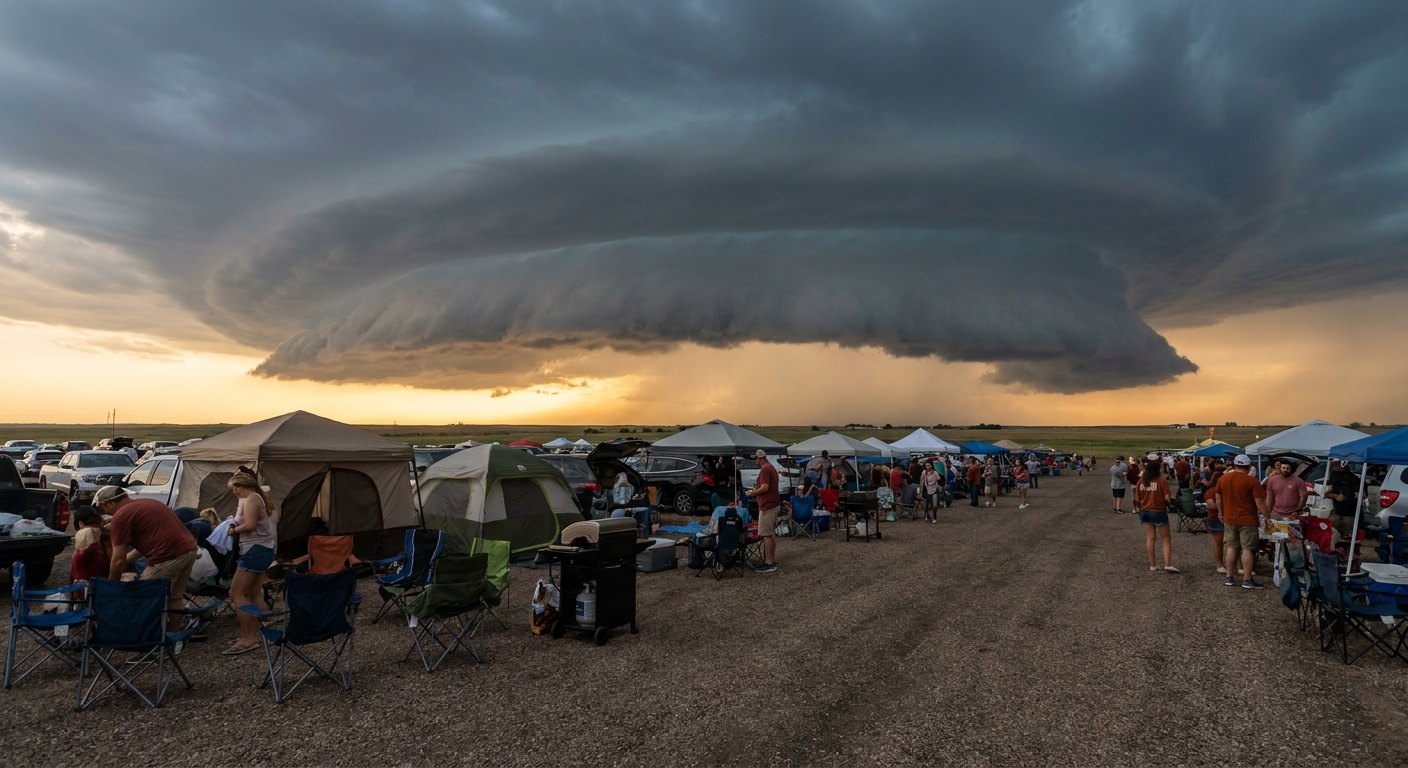
Kickoff Weather: Why Cleveland and Cincinnati Tailgates Need One Eye on the Sky Tonight
Alright folks, big slate of NFL preseason football today. Bills at Browns kicked off this afternoon in Cleveland. Bears and Bengals go tonight in Cincinnati, a game that's already trending because three Bears players have real roster stakes on the line. Down in Miami, Devin Singletary just ripped off a 13-yard touchdown run to put the Giants up 16-0 on the Dolphins, and that's blowing up search right now too.
Here's the thing. Two of those stadiums sit inside the same weather headline today, and it's not the good kind.
The Ohio Valley Is Under a Slight Risk, and That Includes Cleveland and Cincinnati
The Storm Prediction Center has a Slight Risk of severe thunderstorms up today across the Ohio Valley into the central Appalachians, the Mid South, and the southern Plains. Cleveland, Cincinnati, Columbus, Detroit, and Pittsburgh are named specifically in that outlook. Over 20 million people sit under this risk area.
The headline hazard is wind, not tornadoes. SPC has a 15 percent probability of damaging gusts (that's a Level 2 on their scale) across this corridor, with a smaller hatched zone inside it where gusts could reach 75 mph or better if the strongest cells fire. That's derecho territory in terms of wind speed, even though nobody's forecasting an actual derecho today. For context, the SPC's own discussion pointed back to the June 2012 Ohio Valley derecho as a regional wind-benchmark event, not because today looks like a repeat of it, but because it shows what that corridor is capable of when storms organize the right way.
We've had a rough stretch of exactly this kind of wind lately. Just yesterday, Oakley, Kansas measured an 83 mph gust, and gusts topped 90 mph twice already this month in South Dakota and Nebraska. This week alone brought tornado warnings to north-central Illinois and southeastern North Carolina. So a 60 to 75 mph gust threat over Cleveland and Cincinnati fits right into the pattern August 2026 has been running all month.
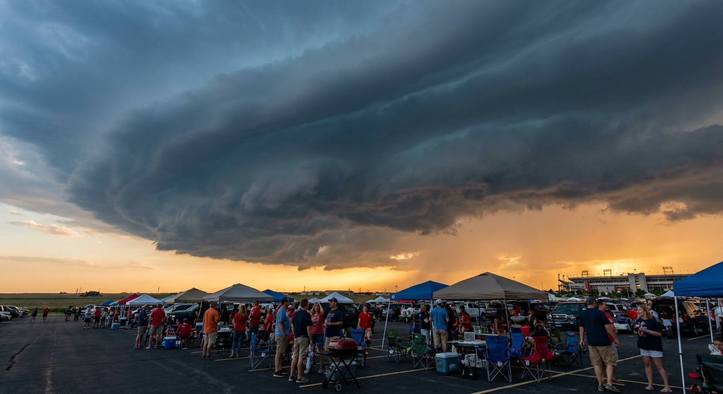
If you're at the game or tailgating tonight in Cincinnati, this isn't a stay-home forecast. It's a know-where-the-shelter-is forecast. Storms will be scattered, not everywhere at once, but if a cell tracks over the stadium, that wind can snap tent poles and turn loose coolers into projectiles fast.
Meanwhile, Miami and Tampa Are Having a Great Weather Day
Flip the map south and it's a completely different story. The Giants-Dolphins game in Miami Gardens and the Chiefs-Bucs game in Tampa are both playing under what today's airport travel outlook flatly calls IDEAL, delay-free conditions. No SPC risk category touches either city today. So while Singletary's touchdown run is trending for football reasons, the weather angle in Miami is refreshingly boring, and boring is good when you're trying to watch a game.
Tropical Storm Moke Is Closing In on Hawaii's Big Island
Out in the Central Pacific, Tropical Storm Moke has 52 mph sustained winds and is tracking WNW at 12 mph, expected to pass south of Hawaii Island within the next day or so. Recon aircraft are actively flying missions into it right now. The storm won't make landfall, but it doesn't need to. Forecasters expect 5 to 10 inches of rain on the Big Island, with isolated totals near 15 inches, and that's stacking on top of ground already saturated from Hurricane Lala's pass through the islands two weeks ago.
The Best of Hawaii Music Festival is happening today in Honolulu, which sits on Oahu, outside Moke's most direct impact zone. But if you're on the Big Island, especially the Kona Coast or South Hawaii, this is the kind of setup that produces flash flooding and mudslides on steep terrain, plus dangerous surf and rip currents along south-facing beaches. Lala already showed what this pattern can do. It brought 140 mph gusts to the Mauna Kea summit and helped trigger a Flash Flood Emergency in the Kau District that swept away two homes.
The Takeaway
Football fans in Ohio have real weather to watch tonight, not because a storm is guaranteed to hit the stadium, but because the ingredients for a 60 to 75 mph gust are sitting right over Cleveland and Cincinnati. Fans in Florida can relax and enjoy the game. And if you've got people on the Big Island, check in on them. Moke is one more soggy chapter in what's already been one of the most active tropical and severe weather Augusts we've tracked this year.