Blog Article
College Football Openers Meet Severe Weather Tonight
Week 1 college football runs into an Enhanced Risk severe weather night across Ohio and the Great Lakes, while Texas flooding and Hurricane Lowell continue.
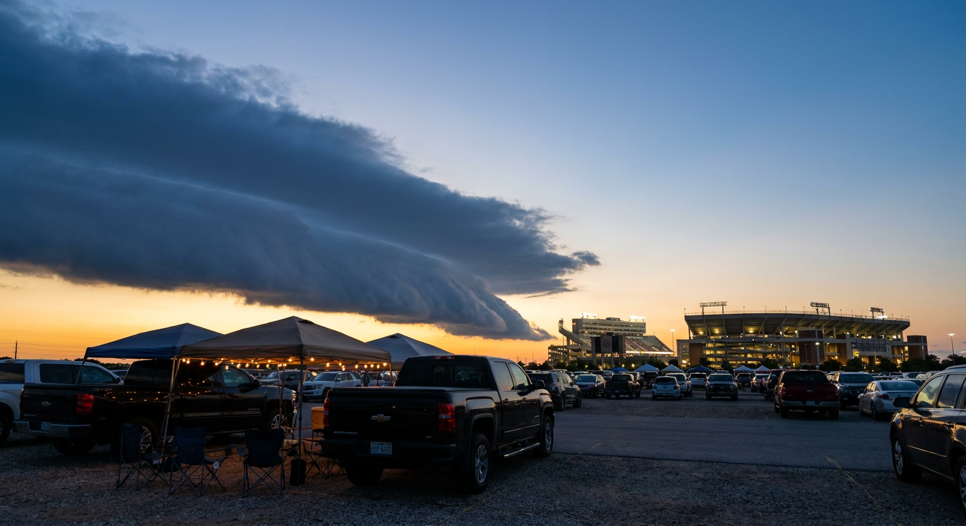
Kickoff Weekend Runs Right Into an Enhanced Risk Night in the Heartland
Alright folks, it's the first real Saturday-eve of college football season, and half the country's got their tailgate chairs out. Problem is, the atmosphere didn't get the memo about kickoff times. Tonight's slate runs straight through a legitimate severe weather setup, and a few fan bases are going to be checking radar between snap counts.
The Enhanced Risk Zone Is Also a Football Zone
SPC has an Enhanced Risk of severe thunderstorms up tonight for eastern Ohio and western Pennsylvania, covering Cleveland, Akron, Pittsburgh, Youngstown, and Ashtabula. That's a 30% chance of numerous damaging wind reports, with a hatched area inside it where gusts could hit 75 mph or more if the worst storms fire. There's also a Level 2 tornado threat (5%) layered in, so a few tornadoes aren't off the table.
Here's the kicker. The Akron Zips are playing tonight, just not at home. They're down in Winston-Salem taking on Wake Forest, which means Akron's players and traveling fans get a clean night in North Carolina while the home crowd back in Ohio deals with the actual Enhanced Risk. Rough trade for the folks who stayed behind.
Zoom out and the Slight Risk umbrella covers a lot more of tonight's football map. Chicago, Philadelphia, Columbus, Washington DC, and Detroit all sit under that tier, with a 15% scattered damaging wind threat. The Marginal Risk stretches even wider, catching Minneapolis, where the Golden Gophers open their season against Eastern Illinois. P.J. Fleck's crew has been building hype all week, and locals are trending searches on season expectations, but Minneapolis is one of the cities SPC flagged for at least an isolated severe threat tonight. Same story for Champaign, Illinois, where UAB visits the Illini under a broader Midwest severe watch area.
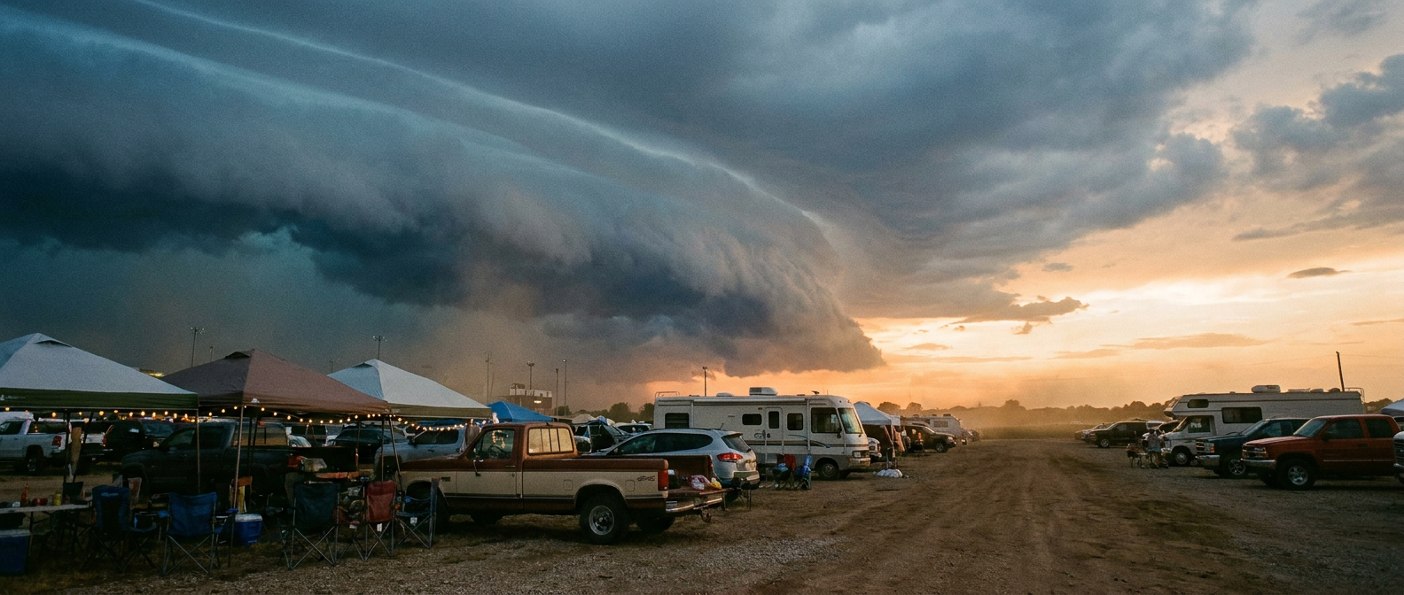
Why Tonight's Setup Isn't a Repeat of Monday
This isn't the same derecho-style event we saw back in late June 2012, when a mature progressive system dropped 675 wind reports from Ohio to DC. Tonight's storms are more scattered clusters riding a cold front, not one continuous bowing line. The hazard is real, damaging gusts and a few tornadoes, but the structure is different. Worth knowing if you're comparing notes with anybody who lived through that 2012 event, because the geography overlaps even though the setup doesn't.
Meanwhile, Texas Is Still Wringing Out
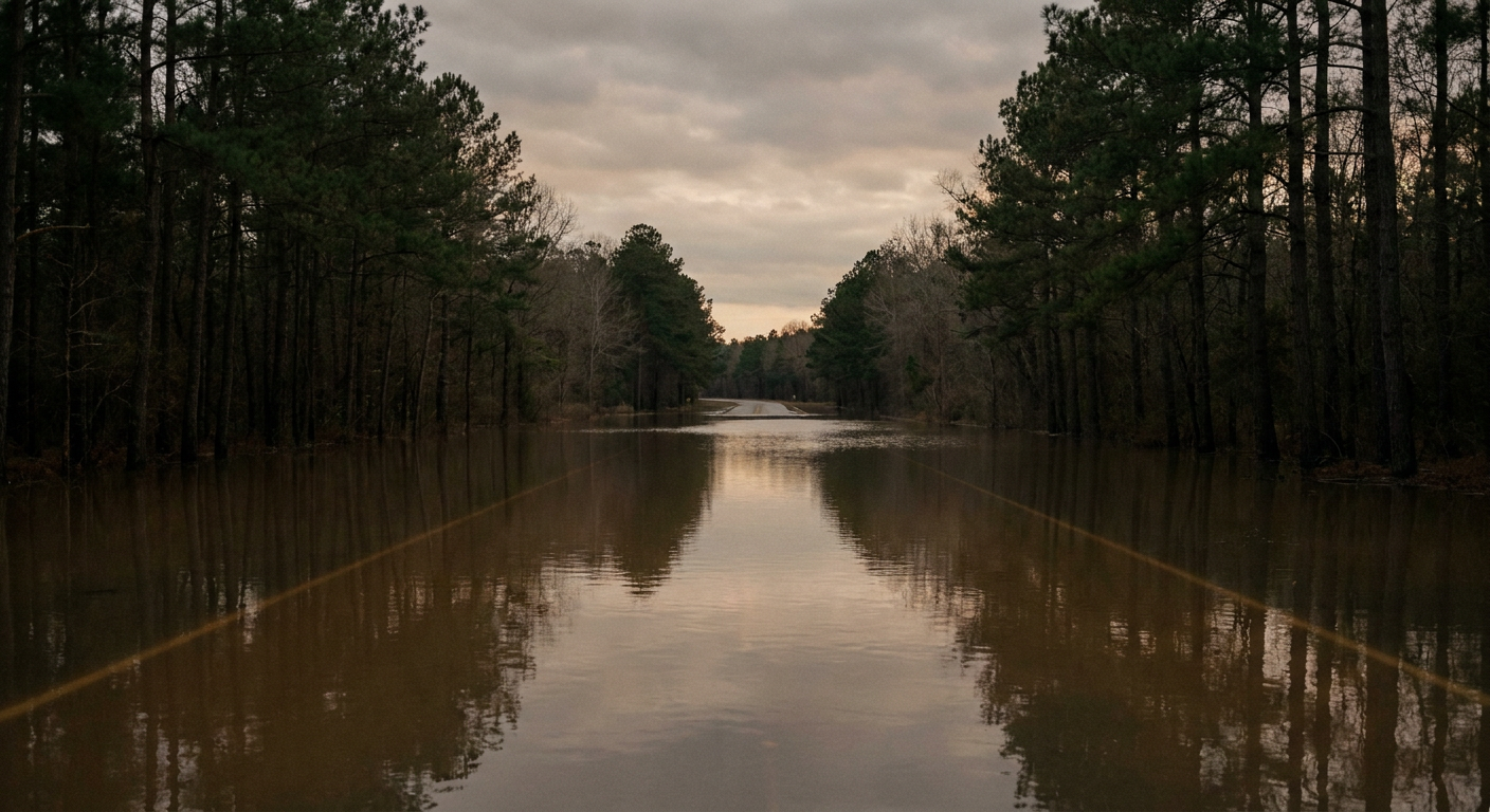
While the Great Lakes deal with tonight's storms, East Texas hasn't finished cleaning up from Tropical Storm Edouard. Hardin and Tyler counties took 10 to 21 inches of rain earlier this week, with Flash Flood Emergencies and water rescues. WPC still has a Moderate Risk of excessive rainfall up for eastern Texas today, with hourly rates of 1 to 3 inches an hour in spots. If you know anybody down there, this is still an active recovery, not old news.
And Way Out in the Pacific, Lowell Keeps Rolling
One more thing worth watching this weekend even though it's nowhere near tonight's football map. Hurricane Lowell is a Category 4 storm south of Hawaii, and the RHY impact model has Kauai's shores at a "prepare" threat level with closest approach still several days out. It's not a mainland story tonight, but if you've got people in the islands, now's the time to have them start paying attention.
The Takeaway
Week 1 excitement doesn't pause for a Slight or Enhanced Risk outlook, and it shouldn't have to. Just know that if you're tailgating in Akron, Cleveland, Pittsburgh, or even Minneapolis tonight, the same atmosphere fueling your team's opener could also fuel a warned storm. Check the sky, know where the concrete concourse is, and keep one eye on your phone between drives. The scoreboard matters, but so does knowing when to duck inside.