Blog Article
Kickoff Weekend Forecast: Storms, Rain Risk, and Aurora Chances
College football and NFL kickoff weekend meets active weather: severe storms in Ohio, rain risk in the Appalachians, tropical moisture in Miami, and aurora chances up north.
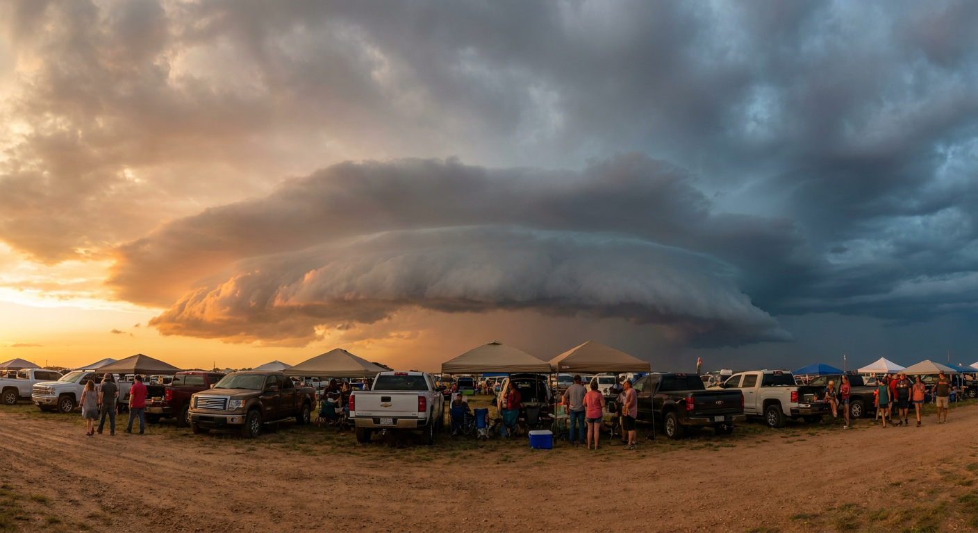
Kickoff Weekend Weather: What the Sky's Doing While America Tailgates
Alright folks, let's talk about what everybody's actually talking about this week. Football's back. Full slate of college ball Saturday, NFL games rolling out across the country Sunday, and if you've been anywhere near a search engine you've seen "NFL kickoff 2026" trending right alongside new rules about red flags and kickoff formations. Get this though. While America's setting up canopy tents and checking fantasy lineups, the atmosphere's got its own game plan, and it touches a bunch of these matchups directly.
Tonight's Storms Are the Undercard
Before we even get to the weekend, there's a Slight Risk of severe thunderstorms tonight into this evening running from central Ohio into northwest Pennsylvania and western New York. Columbus, Cleveland, Akron, Erie, Youngstown, that whole corridor. SPC's got damaging wind at a 15% chance, Level 2 on their scale, meaning scattered 60 mph-plus gusts are on the table if storms fire up like expected. There's even a small 2% isolated tornado chance mixed in.
This is the same general pattern that dropped 75 mph gusts near Ankeny, Iowa, and produced 2.25-inch hail there on Tuesday night. The front's been productive all week, and tonight's just its latest stop as it slides east.
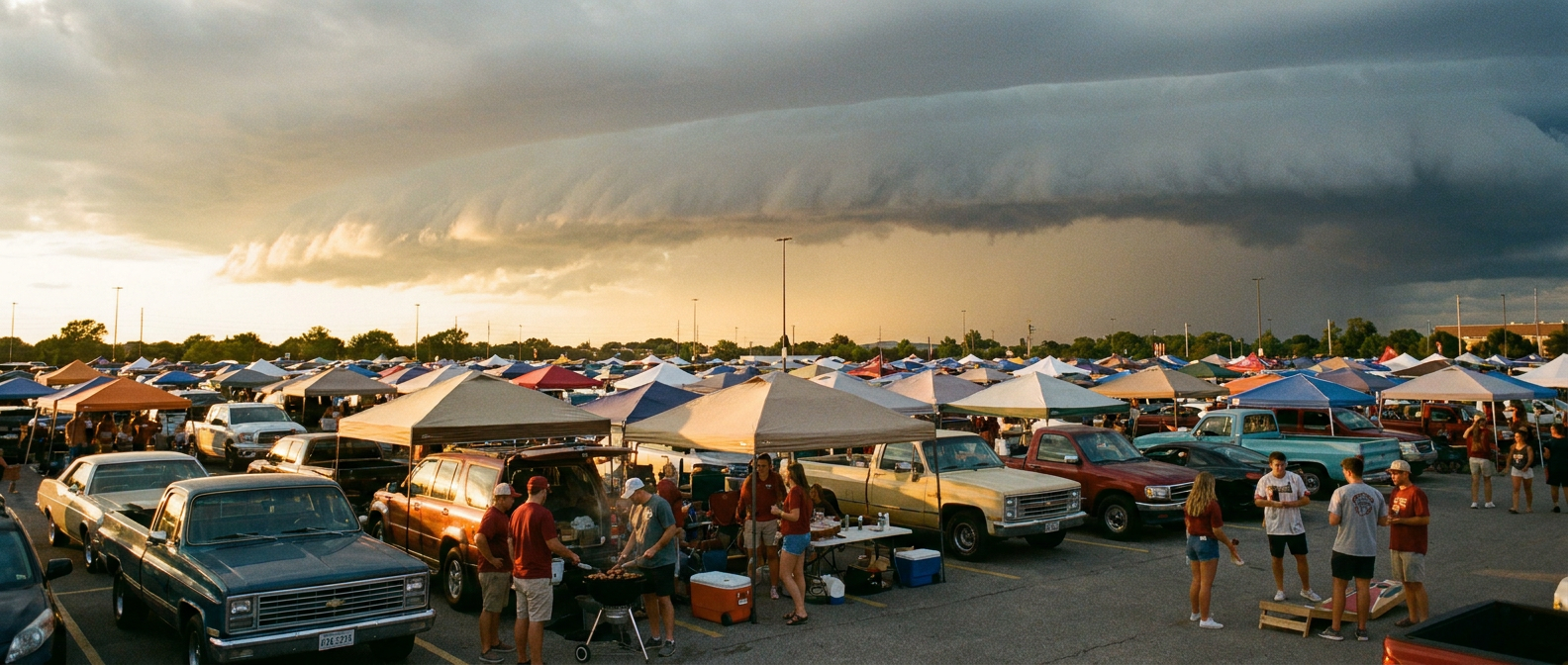
Saturday's Games and the Rain Question
Here's where it gets relevant for your Saturday plans. Penn State at Temple in Philadelphia, Howard at Indiana in Bloomington, Missouri at Kansas in Lawrence, all outdoor, all daytime or evening kickoffs. The good news first: our nice-weather outlook actually has Friday looking BEAUTIFUL across the central Northeast and Mid-Atlantic, with Cleveland, Buffalo, Grand Rapids, and Scranton landing in that top tier behind a dry, building high. That's the same air mass setting up ahead of the weekend.
But WPC has introduced a Slight Risk of excessive rainfall for Thursday into Friday over the Upper Ohio Valley and central Appalachians, and that risk zone sits close enough to Philadelphia's corridor that it's worth watching if you're road-tripping in early. Precipitable water values are running high, and training thunderstorms, meaning storms repeatedly moving over the same spot, are the main flash flood concern. By Saturday afternoon the boundary should be lifting out, but pack a poncho just in case tailgate setup gets damp.
Further west, Thursday's Marginal Risk for severe weather stretches from the southern High Plains through the Ozarks and Mid-South, right in the neighborhood of Missouri and Kansas' matchup lead-up. Isolated hail and gusty outflow winds are the main threats there, nothing widespread, but enough that if you're driving I-70 or I-35 into Lawrence, keep an eye on the radar Thursday evening.
Florida's Tropical Moisture and Thursday Night Football
Florida A&M plays Miami on Thursday night in Miami Gardens, and this one's got a genuine weather wrinkle. Deep tropical moisture is going to sit over South Florida, and our airport travel outlook flags Low Instrument Flight Rules conditions and possible ground stops at South Florida airports Wednesday into Thursday. If you're flying in for the game, build in extra time. September in Miami runs a normal high near 89 with lows around 76, so the heat and humidity will be doing their usual thing on top of whatever showers roll through. It won't be a washout, but expect the kind of pop-up tropical downpours South Florida is famous for this time of year.
Sunday's NFL Slate: Mostly Clear, With a Watch List
By Sunday, when the Falcons visit the Steelers in Pittsburgh, the Commanders host the Eagles in Philadelphia, and the Bucs travel to Cincinnati, the front responsible for tonight's storms should be well east and weakening. The Marginal Risk area for severe weather Day 2 (Thursday) does brush the Ohio Valley, but current guidance doesn't show organized severe weather hanging around into Sunday for those matchups. Worth a re-check Saturday night, since these setups can shift, but right now it looks like a normal early-September Sunday for tailgating in the Steel City and the City of Brotherly Love.
The Bonus Story: Aurora Chances Up North
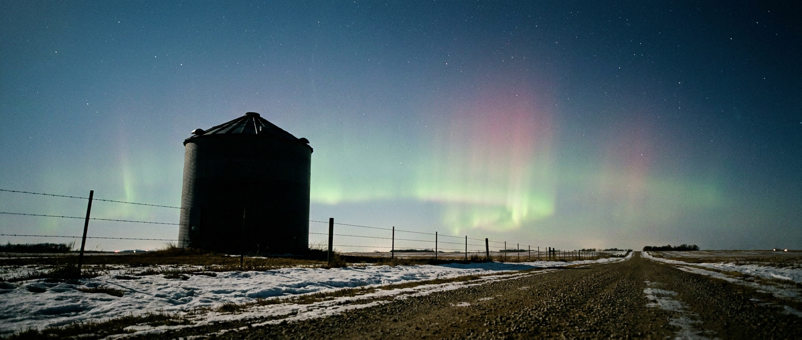
While everybody's focused on football, NOAA's Space Weather Prediction Center has been tracking a G1 to G2 geomagnetic storm today, driven by a coronal hole high-speed stream and a couple of CMEs that left the sun earlier this week. Kp hit 5 today, which is minor-to-moderate storming. Here's the fun part: our nice-weather data shows a genuinely clear pocket tonight over the northern Plains and Upper Midwest, specifically Brookings and Huron in South Dakota, and Willmar, New Ulm, and Fergus Falls in Minnesota. Clear skies plus an active geomagnetic storm is exactly the recipe aurora chasers look for. No promises, since G1-G2 storms don't always paint the sky as far south as Minnesota, but if you're in that footprint and you've got a clear view north tonight, it's worth stepping outside for a look.
The Takeaway
Football season's back, and so is the atmosphere's habit of showing up uninvited. Tonight's storms in Ohio and Pennsylvania are real but localized. The bigger watch item is Thursday and Friday's heavy rain threat over the Appalachians, right as fans start heading to Saturday's games. Miami-area travelers should build in extra buffer for Thursday's tropical moisture. And if you're anywhere near the South Dakota-Minnesota border tonight, the sky might just put on a better show than the game highlights.
https://ryanhallyall.com/blog/kickoff-weekend-weather-what-the-skys-doing-while-america-tailgates