Blog Article
Lala Fades, TD Two-C Threatens Hawaii Flash Flooding
Hurricane Lala moves away from Hawaii as Tropical Depression Two-C brings a flash flood and mudslide threat this weekend. Plus mainland severe storms and East Coast flood risk.
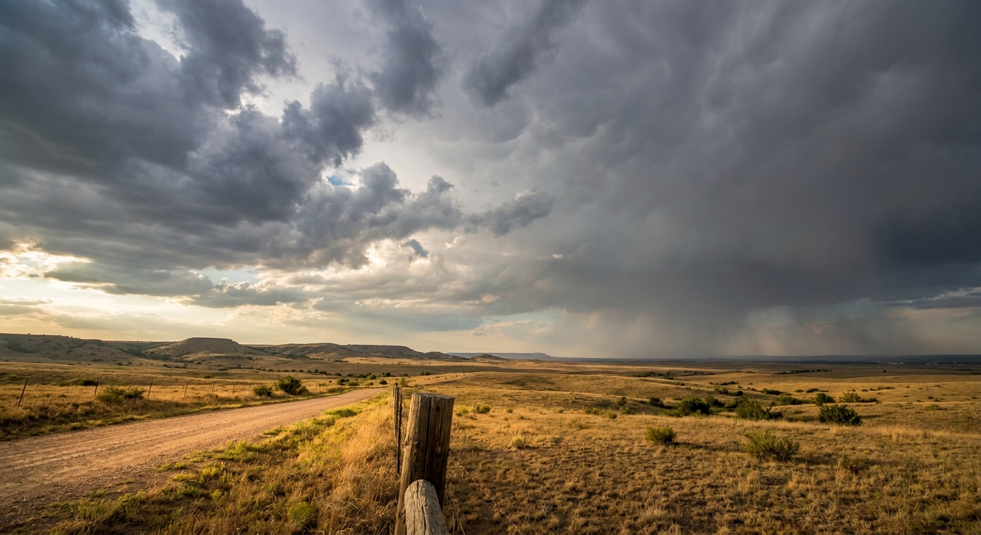
Lala Pulls Away, But Tropical Depression Two-C Has Hawaii's Attention This Weekend
Alright y'all, let's start where the real story is this morning: the Central Pacific.
Hawaii's Weekend Watch: Lala Leaves, Two-C Arrives
Hurricane Lala actually ticked back UP to Category 2 strength overnight with 98 mph winds, even as it moves away from the Papahanaumokuakea Marine National Monument. That's a temporary bump, not a resurgence to worry about. The Central Pacific Hurricane Center says conditions should keep improving near the islands through Friday as Lala tracks off to the north-northeast. If you're in the northwestern Hawaiian chain, the worst is finally behind you after a rough stretch that saw 140 mph gusts at the Mauna Kea Summit earlier this month.
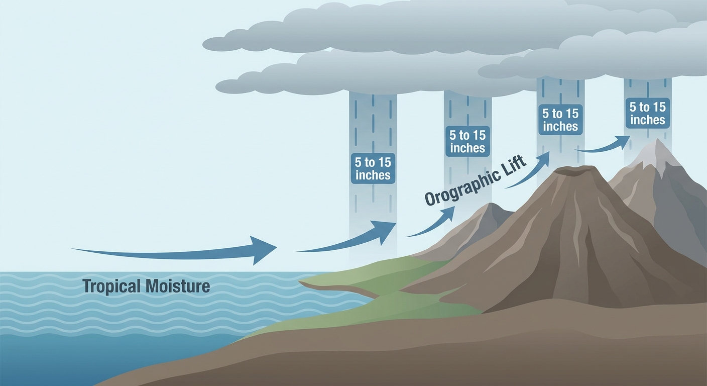
Here's the thing though. Right behind Lala is Tropical Depression Two-C, sitting about 780 miles southeast of Hilo and drifting west-northwest at 10 mph. It's a modest system right now, 35 mph winds, but the setup ahead of it is what matters. Forecasters expect it to strengthen some as it approaches south of the Big Island this weekend, with the latest guidance pointing toward 5 to 10 inches of rain, with isolated amounts near 15 inches possible. That is a genuine, life-threatening flash flood and mudslide risk for parts of Hawaii Island, especially the windward and southern slopes where terrain wrings every drop out of tropical moisture.
If you've got the Best of Hawaii Music Festival on your calendar in Honolulu this weekend, Oahu itself is well north of the projected track and should be fine. But if you're on the Big Island, especially the south side, this is a weekend to have a plan for standing water and slick roads, not a normal beach weekend.
Back on the Mainland: A Calmer Day After a Rough One
Compare today to yesterday and it's night and day. Thursday into Friday brought an EF-1 tornado and an 18.5-mile macroburst swath with winds up to 105 mph in western Kentucky, a rain-wrapped tornado in Dover, Delaware, an onshore waterspout in Cape May County, and a fatal lightning strike in Cape Charles, Virginia. Four Severe Thunderstorm Watches were up across the Mid-Atlantic, Minnesota, and the Mid-South.
Today's SPC outlook is a Slight Risk, not the multi-watch chaos of yesterday. The zone covers Chicago, Charlotte, Milwaukee, Raleigh, and Madison, with a broader Marginal Risk stretching from Kansas City and Omaha down through Wichita, New Orleans, and Baton Rouge. The main threats are scattered damaging hail, some stones over 2 inches, and severe wind gusts, with an isolated tornado not out of the question (SPC has that pegged at just 2 percent, Level 1). There's a small hatched zone where gusts could reach 75 mph or hail could get up to hen-egg size, but that's a fairly limited area population-wise.
For context, our analog data flagged the August 2020 derecho as a loose geographic comparison for parts of this corridor, but today's setup doesn't have the ingredients for anything close to that kind of long-lived, destructive wind event. It's scattered storms, not a training MCS.
- Central Plains and Midwest: Damaging hail and wind gusts possible this afternoon and evening
- Carolinas: Scattered to numerous storms possible, same threats
- Isolated tornado risk: Low, 2 percent, mainly if storms can organize briefly
Saturday looks more fragmented on the severe side, with a Marginal Risk shifting toward northern Idaho, western Montana, the central High Plains, the Arkansas vicinity, and the Ohio Valley, including Cleveland and Denver, both of which have NFL preseason games Saturday night. Nothing that should force a rain delay, but bring an umbrella just in case.
The Flood Threat Riding Along the East Coast
This is the part of today's forecast I'd actually pay closer attention to if you live in Virginia or the Carolinas. WPC has a Slight Risk of excessive rainfall posted, with 2 to 4 inches expected across central North Carolina into adjacent north-central South Carolina, and localized totals could top 6 inches, especially in the Sandhills. HREF model guidance is showing 30 to 60 percent probabilities for 5-plus inch totals in that corridor. That's the kind of rain that turns a normal afternoon storm into standing water on the roads fast.
The rain threat then slides north. Saturday's Slight Risk stretches along much of the East Coast as an upper-level jet entrance region sets up over an unusually moist airmass (precipitable water values running 2 to 2.25 inches). That puts the I-95 corridor, including Philadelphia, Trenton, and New York City, in the crosshairs for another round of urban flash flooding, the same corridor that saw water rescues in Hudson and Passaic counties, NJ, and near LaGuardia just yesterday. If you're headed to the U.S. Open grounds in Queens once it opens Sunday, or catching a game at the Little League World Series in Williamsport, keep half an eye on the sky.
Out West: Critical Fire Weather Returns
SPC has flagged a Critical Fire Weather Area for Saturday across northeastern California, northwestern Nevada, and south-central into southeastern Oregon. A robust midlevel trough and a strong south-southwesterly jet will bring low humidity and gusty winds to already dry fuels. It's a small area population-wise, but if you're out that way, this is exactly the kind of setup that turns a spark into a fast-moving fire.
Where the Nice Weather Actually Is
Not everything today is storms and soakers. Far northern Maine has the best air in the country this morning, clean, dry, and calm, with a wide arc of BEAUTIFUL-to-NICE conditions running from the central Appalachians through the Great Lakes. If your outdoor plans, like the Breakaway Music Festival crowd in Worcester, Massachusetts, sit in that northern tier, you're in good shape. Saturday's sweet spot shifts west to the northern and central High Plains and interior West, from Fargo down to Grants Pass.
What We're Watching
- Tropical Depression Two-C: Track and intensity as it nears the Big Island this weekend, with a 5 to 10 inch, isolated 15 inch, rainfall threat
- Carolinas/Mid-Atlantic flooding: Slight Risk today, expanding up the East Coast Saturday
- Scattered severe storms: Central Plains, Midwest, and Carolinas this afternoon, mainly hail and wind
- Critical fire weather: Northeastern California, northwestern Nevada, and southeastern Oregon Saturday
- Two more disturbances: A high-risk area (80% chance of development within 7 days) sitting south-southwest of Mexico, and a medium-risk area behind it, both worth tracking into next week
Bottom Line
If you're in Hawaii, especially the Big Island's south side, plan your weekend around the possibility of heavy rain and dangerous flash flooding from TD Two-C, even though it's a modest system on paper. On the mainland, today is a garden-variety Slight Risk day for the Carolinas, Midwest, and Central Plains, hail and wind are the main concerns, not a repeat of Thursday's tornado outbreak. The bigger mainland story might actually be water, not wind: the Carolinas and Mid-Atlantic have a real flash flood threat today that spreads up the East Coast into Saturday. Keep it simple: watch the sky in the storm zones, watch the radar apps for flash flood warnings along I-95, and if you're on Hawaii Island this weekend, know where the high ground is.