Blog Article
Lollapalooza Weekend Rain Risk: Chicago's Friday Forecast
A WPC slight risk of excessive rainfall has expanded into the Chicago Metro for Lollapalooza's second day. Here's what's driving it and what festival-goers should know.

Lollapalooza Weekend Meets a Slight Risk: What Chicago Needs to Know
Alright folks, Grant Park is full tonight. Lollapalooza kicked off, the crowd's packed in shoulder to shoulder, and about ninety miles south the Cubs and Cardinals are playing ball in St. Louis with a good chunk of the Ohio Valley sitting in some of the nicest air of the whole week. Feels like peak summer, doesn't it? Get this, though. The forecast has a plot twist lined up for day two of the festival, and it's worth knowing about before you pack your bag for Friday.
Tonight's the Calm Before
Thursday itself is actually pretty quiet where all these outdoor crowds are gathered. Our own nice weather outlook has a BEAUTIFUL tier running from the Ohio Valley into the Mid-Atlantic today, and that's good news for anybody at Wrigley, at the Reds game in Cincinnati, or just out on the patio. The real action on the Storm Prediction Center's radar is out in the Plains. There's a Slight Risk of severe storms tonight across Nebraska and South Dakota, with damaging wind gusts the main worry, plus a broader Marginal Risk stretching from Kansas City over toward Sioux Falls and down into Jacksonville and Tallahassee. None of that's knocking on Chicago's door yet.
Friday's the Day to Watch
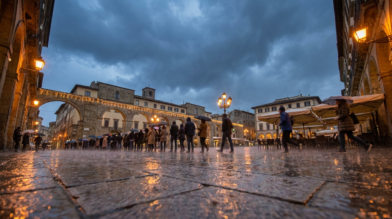
Here's the thing. The Weather Prediction Center's Day 2 excessive rainfall outlook, issued this afternoon, upgraded part of the upper Midwest and mid Mississippi Valley to a SLIGHT Risk, and the discussion specifically calls out an expansion "into central Iowa/Missouri and the Chicago Metro area based on the latest hi-res trends." Translation: if you're heading back to Grant Park Friday for round two, there's a real chance of heavy rain moving through.
What's driving it is moisture. Precipitable water values, basically a measure of how much rain the atmosphere has loaded up and ready to wring out, are running over 2 inches and sitting in the 99th percentile for this time of year. When storms form in air that saturated, they don't need to be severe to dump a lot of rain fast. They just need to sit and repeat over the same spot, something meteorologists call training, like rail cars running the same track one after another. The WPC discussion notes instability may stay a touch farther south, which is the one thing keeping this at Slight instead of higher. But slight risk for excessive rainfall is not nothing. It's the same category that's been behind several of the flash flood headlines we've covered already this month.
Not Chicago's First Rodeo This Month
If this pattern sounds familiar, it should. We've been tracking training thunderstorms and flash flooding basically all July, from the 12-inch rainfall totals in Iowa back on the 3rd and 4th, to the catastrophic flooding in the Texas Hill Country, to this week's mess in eastern New York where Coxsackie declared a state of emergency and a 100-year-old mill collapsed into Schodack Creek. That same soggy, overloaded atmosphere that's been parked over the eastern half of the country for weeks is exactly what's now nudging its way into the Chicago Metro for Friday.
Meanwhile, the severe weather threat keeps sliding east too. Day 2 brings a Marginal Risk from Iowa down into the Ozark Plateau and out across the central and southern High Plains, with Denver, Colorado Springs, Springfield, and Columbia in play for large hail and a conditional tornado threat, mainly Missouri, sitting at 2 percent. By Day 3, that marginal risk shifts into the Ohio and Tennessee Valleys, meaning Nashville, Louisville, Lexington, and Cincinnati get their turn watching the sky this weekend.
What This Means for Your Weekend
If you've got a Lollapalooza ticket for Friday, bring a poncho instead of an umbrella, Grant Park gets crowded fast when everyone pops one open at the same time. If you're flying into O'Hare, know that Day 2 airport guidance already flags thunderstorms bringing MVFR and IFR conditions there, so build in some buffer before your connection. And if you're just going about your week in the Midwest, this isn't a washout weekend by any means, but it's the kind of Slight Risk that's produced flooded streets and stranded cars more than once already this month.
The bass drops Friday night either way. Just don't be surprised if the sky joins in.
https://ryanhallyall.com/blog/lollapalooza-weekend-meets-a-slight-risk-what-chicago-needs-to-know