Blog Article
Lowell Weakens, New Pacific Watch, Ohio Valley Storm Risk
Tropical Storm Lowell pulls away from Hawaii as a new East Pacific disturbance forms. Plus today's severe storm and flash flood risks across the U.S.
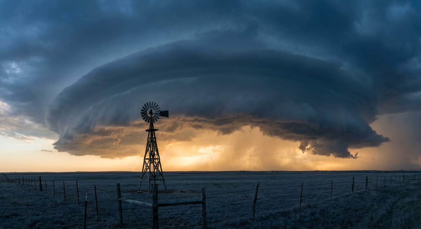
Lowell Fades North, a New Pacific Watch Area Pops Up, and Ohio Valley Storms Take the Spotlight Today
Alright y'all, let's start where the biggest story of the week has been playing out, then work our way back to the mainland where today's action is actually happening.
Tropical Pacific: Lowell Fades, But Don't Look Away Just Yet
Tropical Storm Lowell is done with Hawaii. As of this morning, Lowell sits about 390 miles north-northwest of Kauai, winds down to 63 mph, and it's moving north away from the islands at a healthy 14 mph clip. That's a relief after what we walked through yesterday: gusts up to 85 mph measured near Waimea, storm surge that destroyed homes at Poipu's Baby Beach, boats wrecked at Port Allen Harbor, and more than 33,000 customers without power on Kauai at the peak. Land warnings came down by 6 PM UTC yesterday, and Lowell is just going to keep weakening as it heads into cooler, less favorable water. Marine warnings may linger a bit longer, but the direct threat to Hawaii has passed.
Here's the thing though. The East Pacific isn't done for the season. There's a new Invest, 96EP, sitting a few hundred miles south-southwest of the tip of Baja California with 25 kt winds and a 1007 mb pressure. NHC's Tropical Weather Outlook gives that area of low pressure a 70% chance of development in the next two days and a 90% chance over seven days. That's a HIGH confidence signal for eventual formation, though right now it poses no threat to the U.S. mainland. There's also a second, weaker area (EP-AREA-2) with a 40% chance over seven days. Neither is an immediate concern, but with Lowell winding down, this is the next system worth keeping an eye on.
Severe Storms Today: Eastern Ohio Into Western New York
Back on the mainland, SPC has posted a Slight Risk of severe thunderstorms today covering Cleveland, Akron, Youngstown, Erie, and Mansfield, with a much broader Marginal Risk stretching from Columbus and Cincinnati west to Indianapolis, Louisville, and Wichita.
The setup: a belt of enhanced mid-level flow is riding through a broad upper trough over Ontario, sliding across the Great Lakes and into Upstate New York and Quebec today. That's enough to organize a more legitimate severe threat over eastern Ohio into western New York, where SPC has scattered damaging wind gusts (60+ mph) pegged at a 15% probability, Level 2 on their scale. An isolated tornado or two isn't out of the question either, though that risk sits at just 2%, Level 1.
If you're anywhere in Columbus, Cincinnati, or Louisville today, normal highs this time of year run in the low 80s, so the atmosphere isn't lacking for warmth. The story today isn't the thermometer, it's the wind field aloft doing the organizing.
This follows a pattern we've seen all week. Iowa took a beating Monday night into Tuesday with 75 mph gusts near Ankeny and 2.25 inch hail in the Des Moines metro. Today's threat is more modest by comparison, but scattered damaging wind is still the headline concern.
Thursday Watch: Southern Plains Into the Mid-South
Looking ahead to Thursday, the front sags south and east. SPC has a Marginal Risk up for the southern High Plains and the Ozarks into the Mid-South, covering northern and central Texas, Oklahoma, southeastern Kansas, Missouri, Arkansas, and western Tennessee. Morning clouds and lingering precipitation may cap instability some, but where storms do fire during the afternoon and evening, isolated damaging wind and marginally severe hail are the main hazards. If you've got outdoor plans in Fayetteville, Fort Smith, or Jonesboro Thursday afternoon, keep half an eye on the sky. That's also the corridor ahead of Friday's opening of the Kansas State Fair in Hutchinson, so folks heading that way should track how this front evolves.
Flash Flood Watch: Plains to the Desert Southwest
WPC has a Slight Risk of excessive rainfall today stretching from southeast Kansas into south central Missouri, and separately over southeast Colorado, southeast Arizona, and far southwest New Mexico. Precipitable water values are running two or more standard deviations above normal along the front, which means any storm that trains over the same spot could produce quick flash flooding. This isn't new for the Southwest. We just watched Frontier Road near Bisbee, Arizona close overnight from flooding, part of the ongoing monsoon pattern that's been soaking that region for weeks.
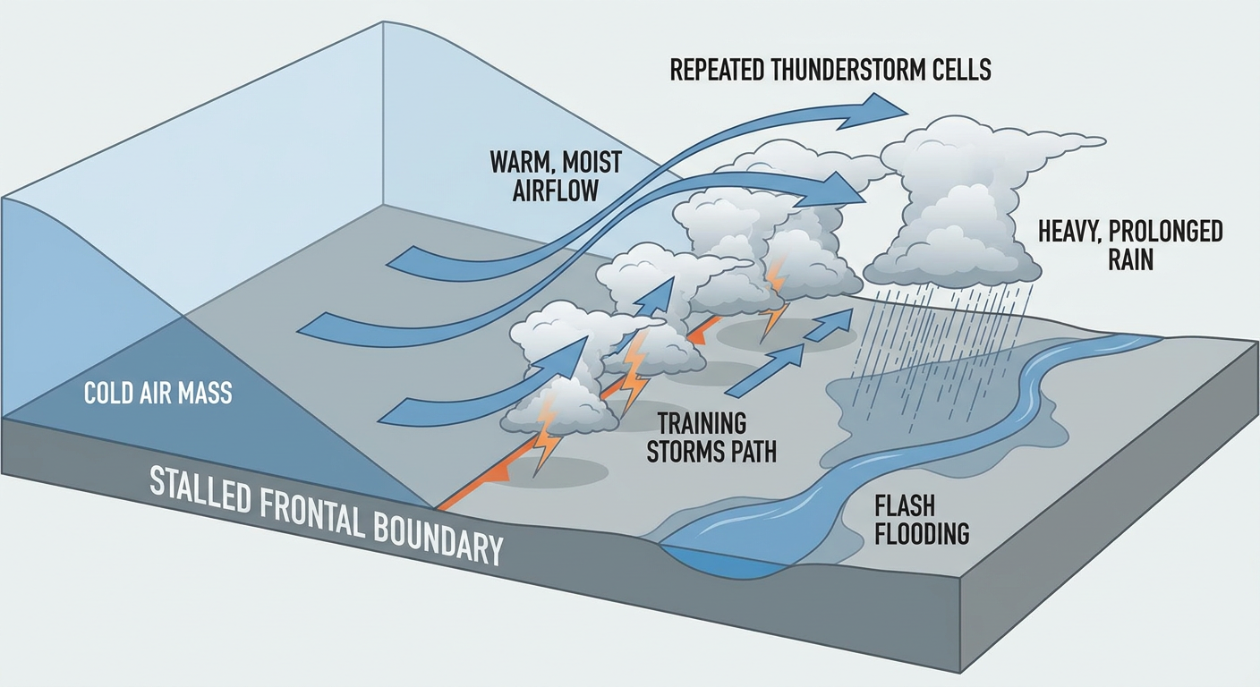
By Thursday, that excessive rainfall risk shifts into the Upper Ohio Valley and Central Appalachians as the same frontal boundary sinks south. Philadelphia sits close enough to that zone that anyone catching the Astros-Phillies game Thursday evening should keep an umbrella handy. By Friday, WPC drops it to a Marginal Risk but widens the footprint considerably, from the Lower Mississippi Valley and Tennessee Valley into the Southern Appalachians, and separately across the Upper Mississippi Valley, Central Plains, and parts of the Southwest.
Fire Weather Ticking Up in the Northern Rockies
On the drier side of the country, SPC's fire weather outlook flags a targeted, terrain-driven risk across Wyoming today as an exiting trough leaves things dry and breezy behind it. That risk expands Thursday into eastern Idaho, southern Montana, and more of Wyoming as a fresh cold front approaches, with west to northwest flow ahead of it keeping fuels receptive. Nothing extreme, but worth watching if you're in ranch or backcountry country out there.
Aurora Watch: G1-G2 Geomagnetic Storming Continues Tonight
We mentioned the G2 Watch briefly yesterday during Lowell's approach to Hawaii, and it's still very much active. NOAA SWPC says G1 to G2 (Minor to Moderate) geomagnetic storming is likely today, driven by an ongoing coronal hole high speed stream combined with CMEs that left the sun on September 5th and 6th. Kp values reached 5 yesterday and could again tonight.

If you're under clear skies in the northern tier tonight, especially the Upper Midwest or Intermountain West where our nice weather outlook has the clearest, driest air parked, it might be worth a look toward the northern horizon after dark.
What to Watch
- Invest 96EP off Baja California: 70% chance of development in 48 hours, 90% over seven days
- Slight Risk of severe storms today from eastern Ohio into western New York, mainly damaging wind
- Marginal severe risk Thursday from the southern Plains into the Ozarks and Mid-South
- Slight Risk of excessive rainfall today over southeast Kansas/south central Missouri and separately over southeast Arizona/southwest New Mexico
- Continued fire weather concern building across the northern Rockies into Thursday
- G1-G2 geomagnetic storming possible tonight, aurora chances for the northern tier under clear skies
Bottom Line
Hawaii is in the clear from Lowell, but keep an eye on the East Pacific because Invest 96EP has real odds of becoming our next named storm. On the mainland, today's main weather story is the Ohio Valley into western New York, where scattered damaging wind is the top concern under that Slight Risk. If you're in the Southwest monsoon zone, don't let your guard down on flash flooding, and if you're headed toward the southern Plains or Mid-South for Thursday, watch the trends on that front as it slides south. Clear-sky folks up north might get a bonus aurora show tonight courtesy of an active sun.