Blog Article
Hurricane Lowell Nears Hawaii; Iowa Faces More Storms, Flooding
Hurricane Lowell skirts Kauai as a Cat 2 storm while Iowa and eastern Nebraska face another Slight Risk of severe storms and flash flooding today.
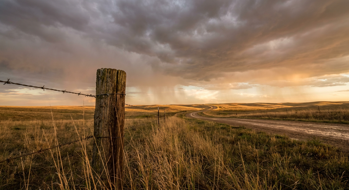
Lowell Grazes the Western Hawaiian Islands While Iowa Braces for Round Two
Alright y'all, we've got a lot to cover this morning, so let's get right into it. Hawaii is dealing with a real hurricane, and the Plains are dealing with round two of a severe weather stretch that's been running hot since the weekend.
Hurricane Lowell Is Passing Kauai Right Now
Hurricane Lowell is a Category 2 storm this morning, sustained winds of 110 mph, sitting about 90 miles west of Lihue and passing just west of Niihau as we speak. This storm was a Category 5 monster with 160 mph winds back on September 2nd out over open water, so it's come down quite a bit in intensity, but don't let that fool you. Barking Sands and Lihue Airport already clocked wind gusts to hurricane force overnight, and Oahu picked up tropical-storm-force gusts at several spots too.
Here's the thing about Lowell: wind shear from an upper trough has been messing with its structure, which is part of why it's weakened from that Cat 5 peak. But a weaker hurricane can still put down a lot of water, and that's exactly what happened overnight. Kauai saw flash flooding along the Hanalei and South Fork Wailua rivers, water over Kuhio Highway near the Hanalei River Bridge, and flooding on Keaka Road in Kapaa. Oahu got surf overwash that closed Farrington Highway near Waianae.
Hurricane Warnings remain up for Kauai County, and Tropical Storm Warnings continue for Oahu and the surrounding waters. Recon aircraft are actively flying missions into Lowell right now, which tells you the Hurricane Center still wants eyes on this thing as it pulls away. The good news: NHC has no landfall forecast for this storm on any of the main islands. Lowell's closest approach to Kauai's south shore was already logged a few hours ago, and it should continue pulling north-northeast and away from the island chain through the day.
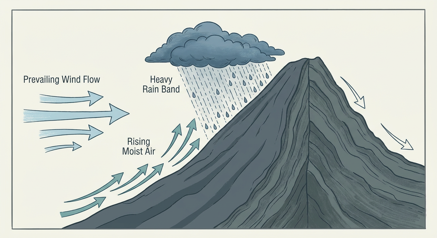
If you're on Kauai or Oahu, keep an eye on those stream gauges through midday. The wind threat is winding down, but runoff from what already fell can keep rivers up for a while yet.
Tropical Storm Marie: Mostly a Surf Story Now
Far out in the East Pacific, Tropical Storm Marie is weakening, down to 45 mph winds and losing its convective punch according to the latest NHC discussion. Marie is about 760 miles southwest of San Diego and moving away from the mainland, so this isn't a landfall threat. The lingering effect is dangerous beach conditions and rip currents along the Baja California coast and into Southern California for the next couple of days. If you've got beach plans in San Diego this week, that's the one thing worth knowing.
Iowa and Eastern Nebraska: Storms Again Today
Now to the mainland, where we're still working through the same stretch that gave us tornadoes in Boyd County, Nebraska, and McLean County, North Dakota, plus 3-inch hail in Montana over the last 24 hours. Today's SPC Day 1 outlook has a Slight Risk of severe thunderstorms centered on Omaha, Des Moines, Ames, and Council Bluffs, with a broader Marginal Risk stretching across the rest of Iowa into places like Cedar Rapids.
The setup: an intense upper low is digging into southern Saskatchewan and will keep pushing energy south into the central Plains and upper Midwest through the afternoon and evening. SPC's numbers put damaging wind at a 15% probability in the highest-risk zone, which is their Level 2 category, meaning scattered severe wind gusts are the headline threat. Hail chances sit lower at 5%, and the tornado threat is isolated at 2%, so this isn't shaping up like yesterday's tornadic supercells in the Dakotas. Think more wind-and-hail-producer storms than a rotating supercell outbreak, though an isolated tornado can't be ruled out entirely if a cell finds the right ingredients.
If you're catching the Twins-Tigers game in Detroit tonight or any of the ballgames further east, that's outside this risk zone. But if you're in the Omaha or Des Moines metro this evening, have a way to get warnings and don't be shocked if the sky gets ugly around dinnertime.
The Flooding Threat Hasn't Gone Anywhere
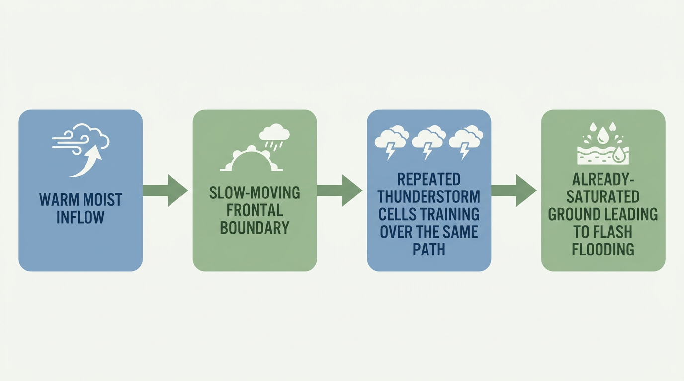
Here's what makes today trickier: this same stretch of Iowa is also sitting under a WPC Slight Risk for excessive rainfall, layered right on top of the severe threat. WPC's discussion is blunt about it: the front pushing through will be progressive enough to limit the worst runoff scenarios, but the southwestern part of that front is slowing down, which means training storms could repeat over the same ground in central and east-central Iowa. That's the same general pattern that dumped 3 to 4.5 inches on Plymouth and Woodbury counties yesterday and triggered Flash Flood Warnings there. If your soil's already saturated from that, it won't take much more to cause problems again.
Wednesday: A Wider But Weaker Risk
Day 2 spreads the Marginal Risk out considerably, from Kansas City and Wichita eastward through Indianapolis, Columbus, and Cleveland. Kansas City normally sits around 80°F for a high this time of year, and Wednesday's setup features an upper trough sliding from the Upper Midwest into the Great Lakes and Northeast, with isolated strong to severe storms possible along the way. SPC's probabilities for Wednesday are lower across the board, 5% for both wind and hail, so this is a lower-end, more scattered threat than today's Iowa setup. WPC also has a Slight Risk of excessive rainfall over Iowa again for Day 2, so that state just isn't getting a break this week.
A Few Other Things on the Radar
- Space weather: A G1 (Minor) geomagnetic storm is likely today into tonight, driven by a coronal hole high-speed stream plus a couple of CMEs that left the sun over the weekend. Kp is forecast to peak around 5. If you're up in the northern tier tonight and skies are clear, it might be worth a glance north after dark.
- Fire weather: SPC has an elevated fire weather concern out toward the Black Hills and southwestern South Dakota today, with gusty west winds and low relative humidity. Nothing extreme, but a Red Flag Warning wouldn't be a shock there.
- Nice weather note: If you want the calmest sky in the country today, the Pacific Northwest and the Great Basin are your best bet, scoring in the mid-80s on our internal nice-weather scale. That stretch holds up reasonably well into midweek too, so if you've got outdoor plans out that way, you're in good shape.
Bottom Line
Kauai and Oahu are on the back side of Hurricane Lowell now. The wind threat is easing, but stream and river flooding from overnight rain can linger into the afternoon, so don't let your guard down on any low-lying roads out there. Southern California beachgoers should watch for rip currents and rough surf from distant Tropical Storm Marie through the next couple of days.
On the mainland, Iowa and eastern Nebraska need to treat today like a real severe weather day, mainly for damaging wind gusts, with a side risk of localized flash flooding if storms repeat over the same ground. Wednesday spreads that risk wider but knocks it down a notch. Have your weather alerts on if you're anywhere from Omaha to Cleveland the next 48 hours, and keep watching those Iowa river gauges.