Blog Article
Weekend Weather: Severe Storms Threaten March Madness Watch Parties
Severe storms are targeting the Ohio Valley and Southeast this weekend. See how the weather could impact your March Madness watch parties and weekend plans.
March Madness Brackets & Busted Forecasts: Your Weekend Watch Party Weather
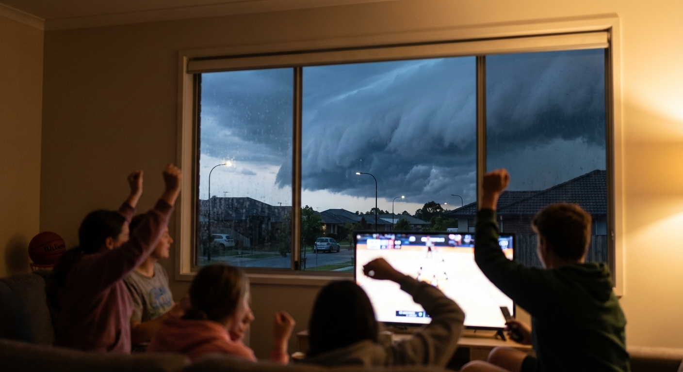
Alright folks, it is Friday evening and I know exactly what y'all are doing. You are staring at a busted March Madness bracket. With teams like Miami of Ohio making waves and the whole country glued to the TV, I know there are a ton of watch parties planned for this weekend.
But here is the thing. While the madness on the court is fun, the madness in the atmosphere is something we actually need to prepare for.
Before we get into the weekend forecast, I want to take a quick second to talk about what is happening out in Hawaii right now. You might have seen the headlines today. Over 4,000 people have been told to evacuate because a 120-year-old dam is at risk of failing. They have had catastrophic flash flooding out there over the last week. Please keep those folks in your thoughts tonight. Real world weather impacts are always heavier than anything else we talk about.
Now, let us look at what is coming for the lower 48 this weekend.
Saturday: Carolina and Tennessee Storms
If you are in Knoxville, Charlotte, or Columbia, you might want to keep an eye on the sky tomorrow afternoon and evening. The Storm Prediction Center has outlined a Marginal Risk for severe thunderstorms from eastern Tennessee through the Carolinas.
We have a modest mid-level shortwave moving through the Southeast. What does that mean for you? It means isolated strong to severe storms could pop up right in the middle of your weekend plans. The main threat here is going to be hail up to about an inch in diameter. So if you are heading out to a sports bar or hosting a backyard BBQ, just be ready to move things indoors if the sky gets dark.
Sunday: Ohio Valley Watch Parties Be Ready
Get this. Sunday is when things look a bit more organized, specifically for the Ohio Valley. We are talking about Indianapolis, Columbus, Cincinnati, and Louisville. The SPC has already issued a Slight Risk for severe thunderstorms for Sunday afternoon and evening.
Here is what is happening up in the atmosphere. A shortwave trough is going to deepen across the Great Lakes, and a really strong 60 to 80 knot southwesterly jet max is going to overspread the Ohio Valley. A cold front will sweep eastward. If we get enough daytime heating and the clouds break up early, the atmosphere is going to destabilize quickly.
If you live in these areas, your Sunday evening basketball viewing might get interrupted by some loud thunder and potentially severe weather. Have a plan to bring the patio furniture inside, and make sure you have a way to get warnings that will grab your attention over the crowd noise.
The Northern Tier Mix
Just to top it all off, we are also tracking some winter weather up north. By Sunday into Monday, a system moving from the Great Lakes into New England is going to bring a messy mix of rain that will eventually transition into accumulating snow for northern New England, including places like Portland, Maine.

Alright y'all, the takeaway here is simple. Enjoy the games, eat some good food, and spend time with your friends. But please, keep your weather apps right next to your bracket apps this weekend. When the warnings are issued, take them seriously.
Stay safe, have a great weekend, and I will see y'all later!