Blog Article
Mid-Atlantic Wind Threat & Texas Flooding: May 26 Forecast
Severe storms threaten Wednesday night baseball in the Mid-Atlantic, while Texas faces another round of heavy rain and flash flooding. Read the full forecast.
Mid-Atlantic Wind Threat Targets Wednesday Baseball, While Texas Braces For More Rain
Get this, y'all. We have a pretty packed slate of baseball games across the eastern half of the country tomorrow night. The Tampa Bay Rays are in Baltimore to take on the Orioles, and the Nationals are up in Cleveland. If you're heading out to the ballpark, or even just firing up the grill in the backyard, you need to keep one eye on the sky. We have a severe weather threat brewing for Wednesday that could bring some serious wind to the Mid-Atlantic.
Here is what the data is showing us for the next 24 to 48 hours.
Wind Gusts and Rain Delays
The Storm Prediction Center has outlined a Level 2 out of 5 risk for severe storms on Wednesday. This covers places like Washington DC, Richmond, and Arlington. Baltimore is sitting right on the edge in a Level 1 risk.
A strong upper-level disturbance, what meteorologists call a shortwave trough, is swinging down from Canada across Ontario. As it interacts with the warm May air over the Northeast and Mid-Atlantic, we're going to see scattered thunderstorms fire up. The main hazard here is wind. We are looking at a 15 percent chance of seeing gusts over 60 mph in that Level 2 zone.
That kind of wind is enough to snap tree branches and send your patio furniture into the neighbor's yard. It's definitely enough to cause a rain delay at Camden Yards. If you have outdoor plans anywhere from Virginia up through Maryland tomorrow evening, make sure you have the radar handy on your phone.
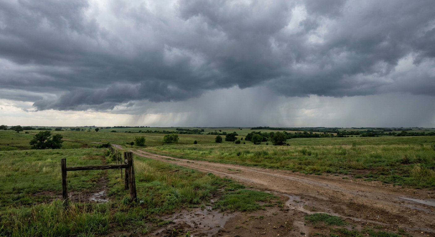
Texas Cannot Catch a Break
Now, let's talk about Texas. The ground down south is already completely waterlogged from the storms we saw earlier this week. You probably saw the footage of the catastrophic flooding over in Mississippi yesterday. Well, the heavy rain axis is setting up right over the Lone Star State tonight and tomorrow.
The Weather Prediction Center has a Level 2 out of 4 risk for excessive rainfall today and tomorrow. This stretches from central Texas right over to the Upper Texas Coast. Cities like San Antonio, Austin, and Houston are all in the mix. The forecast data shows the potential for 3 to 5 inches of rain along the I-35 corridor.
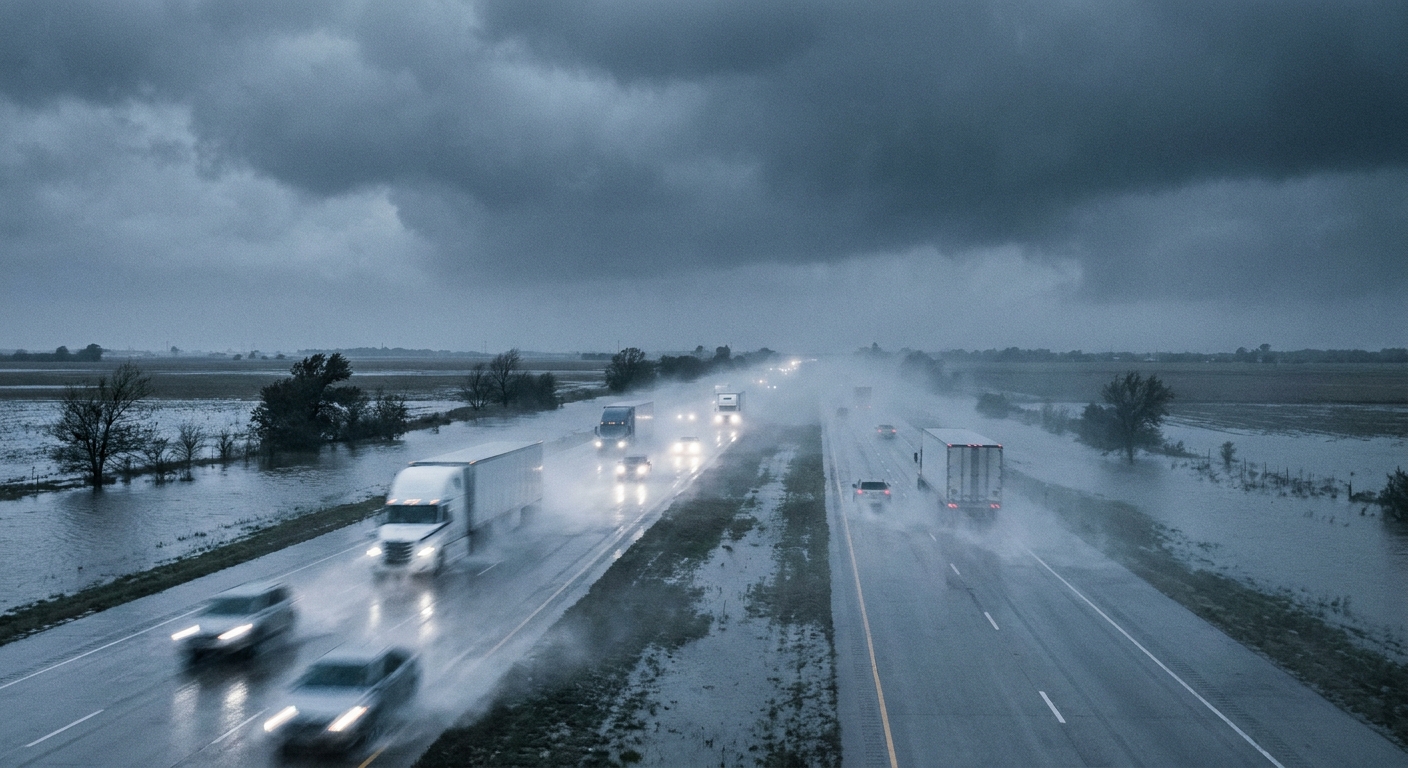
When you put that much water on top of ground that simply cannot soak up any more, flash flooding happens fast. Normally, Houston is sitting around 86 degrees this time of year, and Dallas is close to 84. The thick cloud cover and constant rain will keep the actual temperatures a bit cooler than those averages, but the humidity is going to be through the roof.
So, what does this mean for your Wednesday? If you live in the Mid-Atlantic, secure the loose items outside and have a way to get warnings if a severe thunderstorm rolls through. If you are down in Texas, respect the barricades. Never drive your car through flooded roads. The water is almost always deeper and moving faster than it looks. Have a good evening, and take care of each other.