Blog Article
Why Milwaukee's Roof Was Closed for Tonight's Storm Risk
Tonight's MLB slate sits under an Enhanced Risk in the Upper Midwest. Here's why Milwaukee's roof mattered and what Monday's storms mean for Great Lakes ballparks.
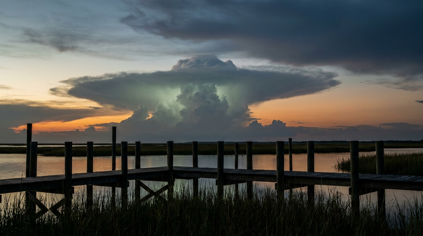
Milwaukee's Roof Earned Its Paycheck Tonight, and Monday's Ballparks Might Need One Too
Alright folks, here's a fun bit of trivia for your group chat tonight. The Colorado Rockies are in Milwaukee to play the Brewers, and American Family Field's retractable roof is doing exactly what it was built to do. Because tonight, Milwaukee sits inside the only Enhanced Risk zone on the entire SPC Day 1 outlook. That's not a coincidence you want to test with an open roof.
Why Milwaukee closed the roof
The Storm Prediction Center has an Enhanced Risk up for a chunk of the Upper Midwest and western Great Lakes today, and Milwaukee, Madison, and Green Bay are all inside it. Get this: the hatched wind zone in that outlook covers a population of almost 23 million people who could see gusts of 75 mph or higher if the strongest cells fire. There's also a hail threat with stones up to 2 inches, hen-egg size, possible.
That's not a random number pulled from thin air either. Yesterday, a mesoscale convective system rolled through South Dakota and clocked a 92 mph gust in Tea, SD, with multiple other readings in the 70s and 80s across the region. That system is part of the same pattern feeding tonight's threat. The atmosphere out there has been loaded and firing for days now, and tonight is the latest round.
- Enhanced Risk: Milwaukee, Madison, Green Bay, Duluth, Iron Mountain (about 5.5 million people)
- Slight Risk: Chicago, Indianapolis, Nashville, Louisville, Minneapolis (about 36 million people)
- Marginal Risk: Jacksonville, Charlotte, Washington DC, Detroit, Baltimore (about 55 million people)
So while the Brewers game stays dry under that roof, plenty of tonight's other games are playing out in open air under Slight or Marginal risk. The White Sox host the Astros in Chicago. The Tigers host the Royals in Detroit. The Nationals and Orioles both have home games in the Marginal zone. None of those are in the bullseye, but a Slight Risk still means organized storms are possible, and any one of these parks could see a rain delay before the night's out.
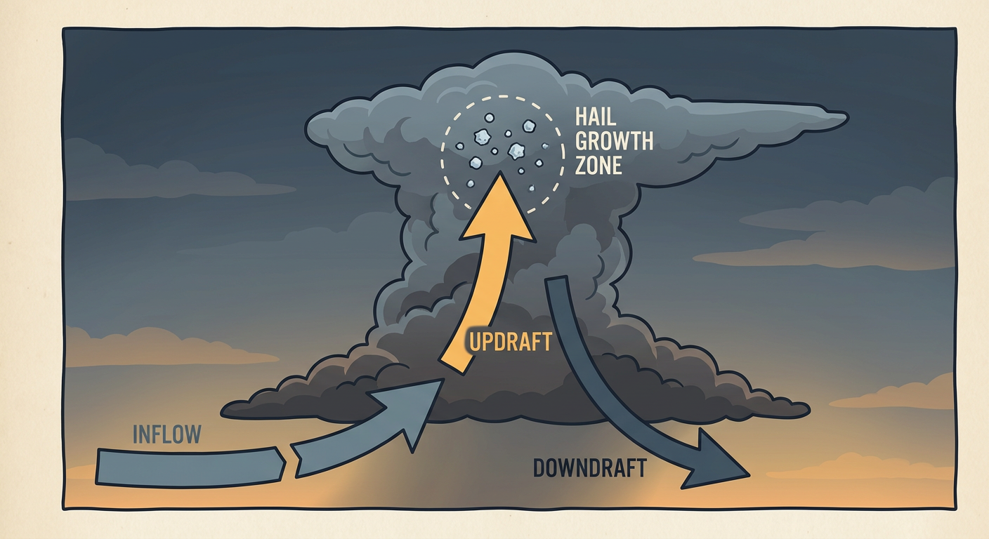
The pattern doesn't stop at sundown
Here's the thing about tonight's setup. It's not staying put. The SPC's Day 2 outlook, valid Monday, shows the Slight Risk sliding east into the Great Lakes and Ohio Valley, and that's a lineup of ballparks. Chicago, Columbus, Indianapolis, Detroit, and Louisville are all inside it, covering nearly 48 million people. The forecast discussion even flags a possible bump to Enhanced Risk if instability builds the way models are hinting, with deep-layer shear around 50 knots supporting supercells before things likely organize into a mesoscale convective system Monday night.
That matters for a specific slate of games. Monday night's schedule has the Orioles at the Tigers in Detroit, the Guardians at the Reds in Cincinnati, the Cubs at the Cardinals in St. Louis, and the Yankees at the White Sox in Chicago, all sitting inside or right along the edge of that Slight Risk corridor. Damaging wind is the headline threat, with a 30 percent probability of numerous reports across Lower Michigan into Indiana and Ohio, and hail up to quarter size is also on the table.
Our day-by-day analog check flags the July 15, 2024 Chicago-area derecho as useful regional precedent here, meaning that part of the country has seen this kind of setup turn into something serious before. That said, the SPC's Slight Risk language and current discussion don't point toward a repeat derecho on that scale. Think organized, potentially strong storms rather than a guaranteed record-setter.
The heat is still part of this story too
While the Midwest deals with storms, the Northern Plains are dealing with the opposite problem. Temperatures from Montana into the Dakotas are running 10 to 15 degrees above average heading into Monday, which is a legitimate heat wave layered right on top of an already busy month. It ties into a broader theme we keep seeing in 2026: long stretches of extreme heat interrupted by bursts of severe weather, with not much middle ground in between. That pattern is exactly what's driving conversations about summer break itself changing shape as heat and storm risk both climb during the months kids are supposed to be outside playing.
What this means for your night
If you're headed to a ballgame anywhere from Milwaukee to Detroit through Monday, keep one eye on the sky and the other on your phone. Roofed stadiums like Milwaukee's are the exception, not the rule, and most of these games are happening outdoors under at least a Slight Risk. A rain delay isn't a bad outcome tonight. It might be the smart one.