Blog Article
Moderate Flash Flood Risk Hits AZ, NM, Kansas City Sept 16
WPC posts a Moderate excessive rainfall risk for Arizona, New Mexico, and the Kansas City area today as tropical-origin moisture surges north through the Southwest and Plains.
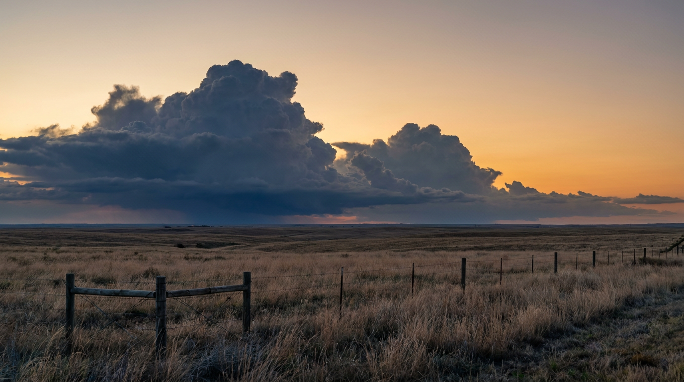
Moderate Flash Flood Risk Targets the Desert Southwest and Central Plains Today
Alright y'all, the headline today isn't severe weather or a tropical system. It's water. WPC has drawn a Moderate Risk of excessive rainfall, their second-highest category, over southern and central Arizona and the Sacramento Mountains of New Mexico for the period ending noon tomorrow. That's the same general region that got hammered last week, so this isn't ground that needed more rain.
We're also seeing local forecasters at Kansas City/Pleasant Hill (EAX) and Topeka (TOP) coordinating on a separate moderate flash flood concern for northeastern Kansas, where they're watching PWAT anomalies running 2 to 3 standard deviations above normal and a sharp theta-E gradient set up right along I-70. Training thunderstorms, meaning storm after storm rolling over the same spot, could put down 3 to 5 inches on ground that's already saturated from earlier flooding this month.
The Setup: A Moisture Surge With Tropical Roots
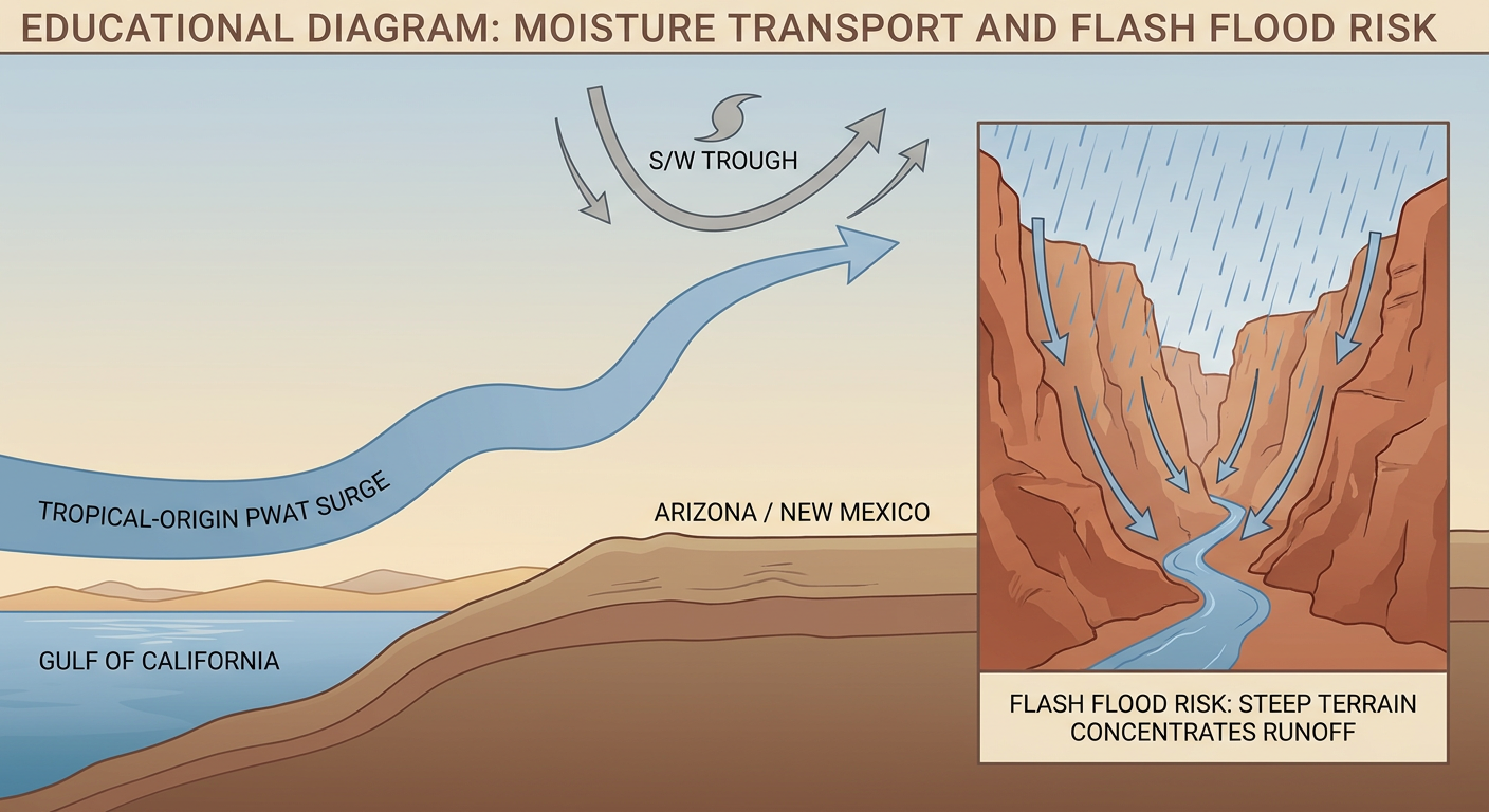
A robust shortwave has been sitting over the Gulf of California for several days now, and it's finally starting to slide north. That system is dragging a plume of deep, tropical-origin moisture straight up into the desert Southwest. Ahead of it, a departing mid-level low over northern California is keeping strong southwesterly flow cranked over the Great Basin, which is a big part of why this pattern feels stuck instead of racing through.
Think of it like a fire hose that's been aimed at the same patch of ground for days. Ground that's already flooded once doesn't handle round two very well. Big Bug Creek near Mayer, Arizona, rose three feet during last week's flash flooding, and Central Avenue there is still feeling the effects. That's exactly the kind of drainage that's vulnerable again today.
Timeline
- Today (Wednesday): Moderate Risk for southern/central Arizona and the Sacramento Mountains of NM. Separate heavy rain concern for the Kansas City/Topeka corridor along I-70.
- Thursday: The Southwest threat downgrades to Slight, but doesn't go away. Meanwhile the moisture plume ejects northeast through the Central Rockies into the Northern Plains, bringing a Slight Risk to South Dakota, where 2 to 4 inch totals are possible, along with the Upper Midwest.
- Friday: Slight Risk shifts into the Upper Mississippi Valley and Midwest as the disturbance tracks toward Wisconsin.
This is a multi-day pattern, not a one-day soaking. If you live anywhere from the Mogollon Rim through the Phoenix and Tucson metros, or along that I-70 corridor in Kansas, today and tomorrow are worth paying attention to, especially if you're near a wash, canyon, or urban drainage that floods easily.
What Else We're Watching
- Marginal severe risk: SPC has a Marginal Risk today stretching from northern Utah into the eastern Ohio Valley, covering Columbus, Pittsburgh, Salt Lake City, Akron, and Dayton. This is a low-end setup, isolated strong to severe storms with a 5% chance of damaging wind or quarter-size hail if anything fires. Nothing to reschedule outdoor plans over, just something to have on the radar.
- Fire weather: Central Nevada is dealing with elevated to locally critical fire weather both today and Thursday. Consecutive days of dry, breezy south-southwest wind have dried out fuels there, while hot and dry conditions continue to build across Texas and Oklahoma, though lighter winds are keeping that region's fire concern more limited for now.
- Space weather: SWPC has a G1 minor geomagnetic storm watch today and tomorrow, driven by a combination of a coronal hole stream and a couple of CMEs that left the sun over the weekend. If you're way up north, this could mean a faint aurora show tonight. Nothing that affects your day-to-day.
Tropical Check-In
Remember Tropical Depression Fifteen-E, which formed over the weekend southwest of Baja? NHC issued its final advisory last night. The system's low-level center fell apart, and it's opened up into a trough that'll just drift west producing occasional bursts of convection. No threat to land. Elsewhere, there's a disturbance well offshore of southwestern Mexico that NHC gives a 50% chance of development by day 7, plus a sluggish area east of Bermuda sitting at just 10% through 48 hours. Nothing here needs your attention yet, but we'll keep watching.
How This Touches Your Plans
If you're headed to the Oklahoma State Fair kickoff Thursday in Oklahoma City, you're in good shape. That region sits south of today's wet pattern under hot, dry high pressure. Tucson and Phoenix folks should plan around the rain, especially anything involving canyon trails, washes, or slot canyons. And if you've got tickets to Sea.Hear.Now in Asbury Park this coming weekend, keep half an eye on the extended outlook. There's a slow-moving frontal complex trying to organize across the Upper Midwest that our Days 4-7 discussion has tracking toward the Northeast by early next week, which could complicate travel into the region.
Bottom Line
Today's real story is water, not wind. Arizona, New Mexico's Sacramento Mountains, and the Kansas City/Topeka corridor all carry a Moderate flash flood risk on ground that in some spots is still recovering from last week's flooding. If you live in a flood-prone area in those zones, know your evacuation routes and don't drive into water you can't see the bottom of. Everybody else, keep an eye on the Marginal severe zone in the Ohio Valley and northern Utah, but there's no need to change plans for that one.