Blog Article
Moke Threatens Hawaii Floods, Ohio Valley Storm Risk Today
Tropical Storm Moke brings flash flood risk to saturated Hawaii Island while SPC flags a Slight Risk for damaging winds in the upper Ohio Valley today.
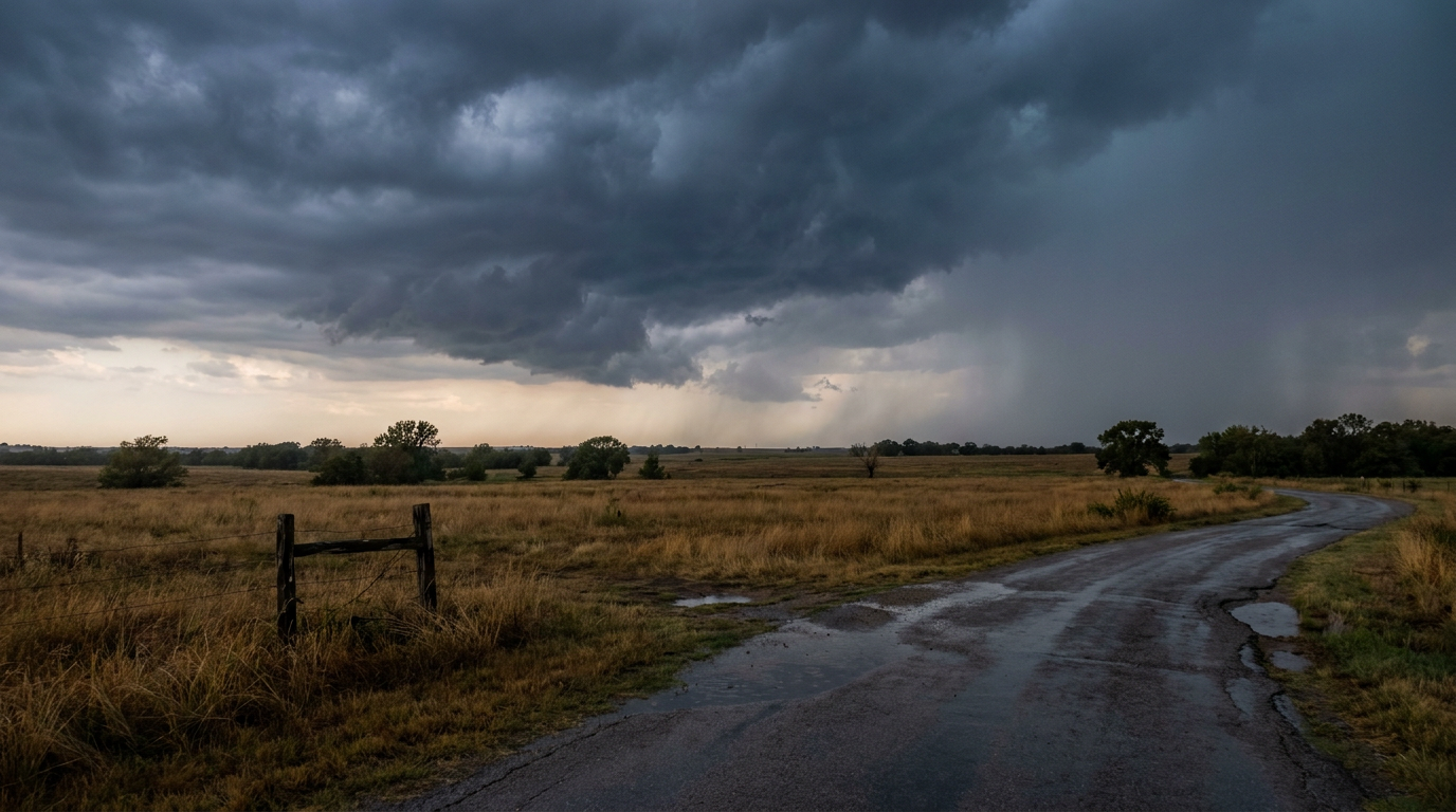
Moke Follows Lala Into Hawaii While the Ohio Valley Watches the Sky Today
Alright folks, let's start where the real concern is this morning: Hawaii.
Tropical Storm Moke: Hawaii's Second Act This Week
Get this. Hawaii Island is still cleaning up from Hurricane Lala, which raked the state with 140 mph wind gusts at the Mauna Kea Summit and touched off a Flash Flood Emergency in the Kau District back on August 16. Now, less than a week later, Tropical Storm Moke is lining up to bring another round of heavy rain to that same ground.
Moke is currently packing 46 mph winds and sitting about 545 miles southeast of Hilo, moving WNW at 8 mph. It's forecast to make its closest approach to Hawaii Island's south side late Sunday into Monday, passing roughly 200 miles offshore at tropical storm strength (around 43 to 47 mph). This isn't a landfall scenario. It's a heavy rain and rough surf scenario, and honestly, that can be just as disruptive.
Here's the thing about soaked ground: it doesn't need much more to give way. Local forecasters at Honolulu are watching for 5 to 10 inches of rain across Hawaii Island this weekend, with isolated totals up to 15 inches possible. On slopes that just got hammered by Lala's runoff, that's a real setup for life-threatening flash flooding and mudslides. Our impact model has Hawaii Island's south, west, and east coasts, plus the Kona Coast and Hilo, all sitting at an "aware" threat level. Add in dangerous surf and rip currents for east- and south-facing shores, and this weekend is not the time to underestimate a tropical storm just because it isn't a hurricane.
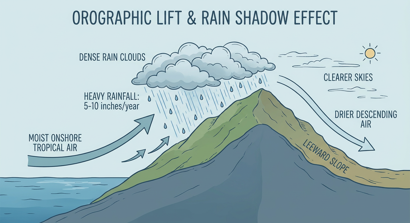
Hurricane Lala Update: Weakening, Turning Away
Lala herself is done with Hawaii. She's now a Category 1 hurricane with 86 mph winds, way out at 30.3N 172.0W, more than 1,400 miles from the nearest land, and turning northwest into cooler water and increasing shear. The forecast discussion notes her structure is starting to look more like an occluded extratropical low than a classic hurricane. She'll weaken gradually but stay a tropical cyclone for a few more days out over open ocean. No land impacts expected from Lala going forward.
Severe Weather Slight Risk: Upper Ohio Valley Today
Back on the mainland, SPC has a Slight Risk posted for parts of the upper Ohio Valley today, covering Columbus, Cleveland, Pittsburgh, Akron, and Erie. A Marginal Risk stretches much farther, from Dallas-Fort Worth through Denver, Nashville, and Detroit.
The setup: an upper low over the western Great Lakes region is digging in, and that's going to fire off scattered thunderstorms capable of damaging gusts through this afternoon and evening. SPC's wind probabilities show a 15% chance of scattered damaging wind gusts (60 mph or better) in that Ohio Valley zone, with a hatched area suggesting isolated gusts could reach 75 mph or higher. Hail threat is lower, mainly isolated quarter-size stuff.
This comes on the heels of a wild stretch. Just yesterday, western Kansas and Nebraska saw an 83 mph gust near Oakley and 2.75-inch hail near Bayard, and north-central Illinois had a confirmed brief tornado near Sublette. This month has been relentless for the Plains and Midwest, so today's risk, while lower-end than some of what we've seen, is still worth having a plan for if you're in that Columbus-to-Erie corridor.
If you're headed to the Bills-Browns game in Cleveland this afternoon or the Bears-Bengals game in Cincinnati tonight, keep half an eye on the sky. Storms are more likely to fire later in the afternoon and evening, which lines up with kickoff windows for both.
Flooding Watch: Coastal Mid-Atlantic and Carolinas
WPC has a Slight Risk of excessive rainfall up for today across the coastal Mid-Atlantic, with Marginal Risk zones spreading into the Carolinas and Southeast too. A moisture-rich airmass sitting over the coastal Carolinas is getting shunted toward a deepening trough draped from Canada into the eastern US, and that means another round of heavy rain on ground that's already had a rough week.
Remember, this is the same general region that just dealt with flash flood warnings in Clarendon and Orangeburg Counties, South Carolina, and downed trees and flooding across the North Carolina Sandhills earlier this week. Local forecasters at Raleigh, Wakefield (Norfolk/Virginia Beach), Columbia, and the DC/Baltimore office are all watching closely for training storms and urban flash flood potential along I-95 and I-20. If you're in Hampton Roads, the Piedmont, or the DC metro today, keep an eye on radar before you head out.
Elsewhere: Fire Weather Out West, Quiet Space Weather
Out in the Northwest, a robust upper trough is bringing critical fire weather conditions to northern Washington, the far northern Idaho Panhandle, south-central/southeast Washington, north-central Oregon, northeast California, and northwest Nevada. Gusty winds and low humidity mean any new fire start out there could spread fast.
On the space weather side, nothing alarming. SWPC expects quiet to unsettled geomagnetic conditions as a coronal hole high-speed stream winds down, with a small chance of isolated M-class solar flares and a slight chance of an X-class flare from an active sunspot region through the 24th. No geomagnetic storming (G1 or higher) is expected in the outlook period, so this isn't an aurora story.
Key Factors We're Watching
- Tropical Storm Moke's exact track and rainfall totals across saturated Hawaii Island terrain
- Whether training thunderstorms produce localized flash flooding along the I-95 corridor from the Carolinas to DC
- Damaging wind potential this afternoon/evening across the upper Ohio Valley, especially around outdoor evening events
- Any isolated severe storms sliding into the Dallas-Fort Worth, Denver, or Nashville marginal risk zones
- Critical fire weather conditions holding steady across the interior Pacific Northwest and northeast California
Bottom Line
Hawaii is the headline today. If you're on Hawaii Island, especially the south, west, or east coasts, plan around the flood and mudslide risk from Moke's rain this weekend, not just the wind. On the mainland, folks from Columbus to Pittsburgh should have a way to get severe weather alerts this afternoon and evening, and anyone in the Carolinas-to-DC corridor should watch for localized flash flooding given how saturated the ground already is. Nothing here is an extreme, headline-grabbing setup, but it's exactly the kind of day where being ready beats being surprised.