Blog Article
KC Weather Tonight vs Tuesday's Storm Threat Explained
Monday Night Football in Kansas City looks calm tonight, but Tuesday brings a marginal severe and flood risk. Plus a check on Tropical Storm Norbert near Hawaii.
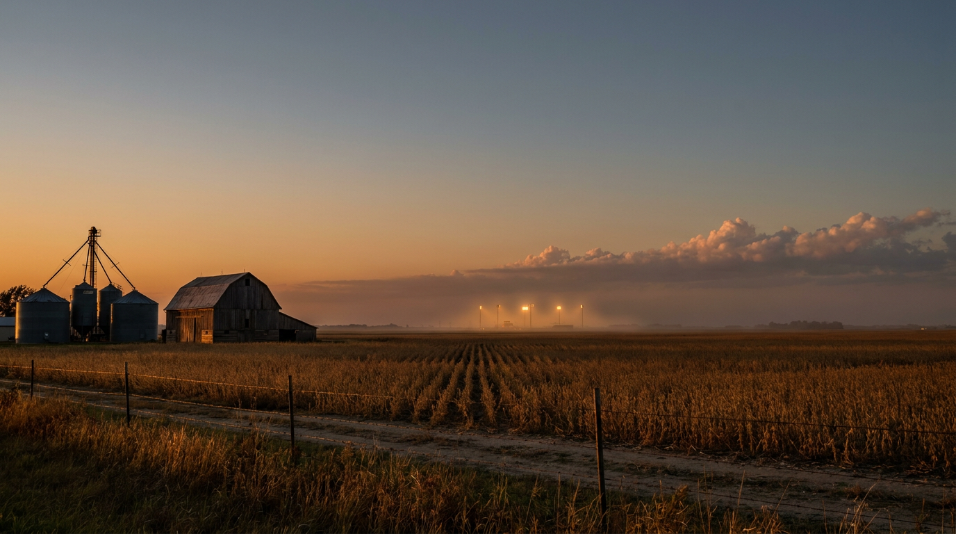
Monday Night Football in KC Has Good Timing, Tuesday Doesn't
Alright folks, kickoff in Kansas City is right around 7:15 tonight, Broncos and Chiefs, Monday Night Football under the lights at Arrowhead. And here's the good news for anybody tailgating: tonight's sky isn't the story. Tuesday is.
We've spent most of September watching one front after another crawl across the middle of the country, and this week's edition is lining up almost perfectly with the football calendar. Kansas City just happens to sit right where the atmosphere wants to do its work next, one day after 76,000 people pack into the stadium.
Tonight's fine. Tomorrow's the one to watch
SPC's Day 1 outlook has the slight severe risk sitting up over Nebraska and Iowa tonight, places like Omaha and Des Moines, not Kansas City. So the tailgate lots should be dry and the game should play out under a calm sky. Good deal.
But flip the calendar to Tuesday, and Kansas City gets named specifically. SPC's Day 2 outlook puts a Marginal Risk corridor stretching from Kansas and Nebraska clean through Missouri, Iowa, Illinois, Indiana, and into western Ohio. Instability could top 2,000 joules per kilogram with dewpoints pushing into the upper 60s, even near 70. That's thick, humid, late-summer air setting up ahead of a slow-moving cold front, the kind of setup that likes to fire off scattered strong to severe storms during the afternoon and evening.
The bigger worry for KC isn't wind or hail, though isolated 60 mph gusts are on the table. It's water. WPC has a Slight Risk for excessive rainfall stacked across Tuesday and Wednesday for the Missouri Valley, with training thunderstorms capable of dropping 2 to 4 inches on top of ground that's already had more than its share this month.
Iowa's still drying out from last week
Speaking of that, this pattern isn't new. Just last week, West Des Moines picked up 7.80 inches of rain in a single 24-hour stretch, and Walnut Creek climbed to a moderate flood stage of 15.2 feet. Tonight's WPC outlook still has a Moderate Risk of excessive rainfall parked right back over Iowa, the highest category WPC issues on the short-term outlook. Soils there haven't had time to recover, so new rounds of heavy rain don't have anywhere to go but back into the creeks and low-lying streets.
That's the throughline for the whole eastern half of the country this month. New Jersey and Connecticut got 3 to 5 inches in a few hours over the weekend. Ohio and West Virginia got hit with training storms twice in the last week. Kansas has had two separate rounds of measured wind gusts over 80 mph. The ground is tired, and every new system is landing on ground that was already wet.
Norbert takes aim at the Big Island, gently
Out in the Eastern Pacific, Tropical Storm Norbert is still churning along at 40 mph winds, moving west about 1,035 miles east of Hilo. The National Hurricane Center expects Norbert to weaken into a remnant low by tomorrow, so this isn't shaping up to be anything like Hurricane Lowell, the Category 2-3 storm that battered Kauai with 85 mph gusts and knocked out power to more than 33,000 customers earlier this month.
Still, our impact model flags a "prepare" threat level for Hawaii Island's south and west coasts and the Kona Coast, with Norbert's closest pass expected in about three days and roughly 50 miles offshore at its nearest approach. Expect elevated surf and gusty wind on those exposed coastlines even as the storm itself loses steam. Nothing dramatic, but Hawaii's had a rough stretch of tropical seasons this year and folks there have earned the right to keep half an eye on the tropics.
What this means for your week
- Tonight in KC: clear for the game, enjoy the tailgate.
- Tuesday in KC: watch for storms, some capable of gusty wind and heavy rain on top of already-soggy ground.
- Iowa: still under a Moderate excessive rainfall risk tonight, still recovering from last week's flooding.
- Oklahoma State Fair opens Thursday, and Day 3 outlooks show a Slight Risk for excessive rainfall across the Central Plains that same day, worth checking before you head out.
- Hawaii Island: keep tabs on Norbert through midweek, mainly a surf and wind story, not a landfall threat.
The next round of NFL Sundays sends outdoor games into Chicago, Denver, Tampa, and Baltimore, all places that have taken their turn under active weather this month. Football season and severe weather season overlap for a reason. Keep watching the sky, not just the scoreboard.
https://ryanhallyall.com/blog/monday-night-football-in-kc-has-good-timing-tuesday-doesnt